Makiki Valley Loop
The original ambition was to hike the Makiki Tantalus Loop, but a short distance from the start, we found this shorter
option mentioned at the end of this description. http://hikehawaii.blogspot.com/2010/06/makiki-tantalus-loop.html
The trail starts off Makiki Heights Drive, near the bottom of the hill. We missed the turn off by the park on Makiki Street and continued
up Round Top Drive. From the middle of a hairpin turn, Nutridge Street leads to the Round Top Forest Reserve and Ualakaa Lookout.

The view from Round Top/Ualakaa Lookout. Honolulu with Waikiki in the center.

View towards Honolulu Harbour

Both Makiki Tantalus and Makiki Valley loops start near the Hawaii Nature Centre off Makiki Heights Drive,
about 0.5 mile after the turn from Makiki Street. There is a parking lot at N 21° 18’840, W 157°49’767

There is a restroom at the beginning of the trail, and water and brushes to clean your shoes before and after the walk – to prevent spreading seeds and bugs.
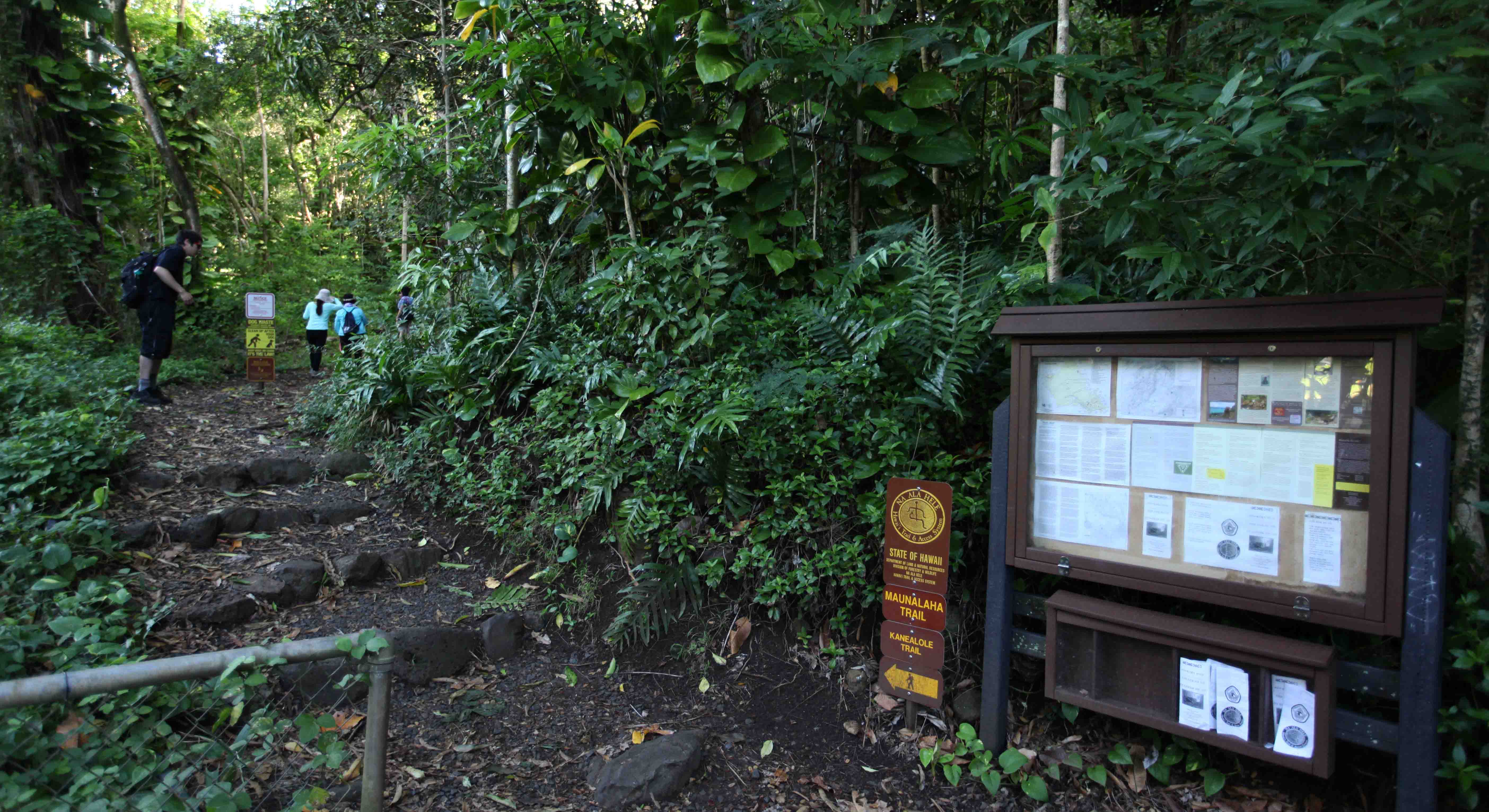
Information sign at the start of the trail.

There are lots of roots and stones in parts of the trail.
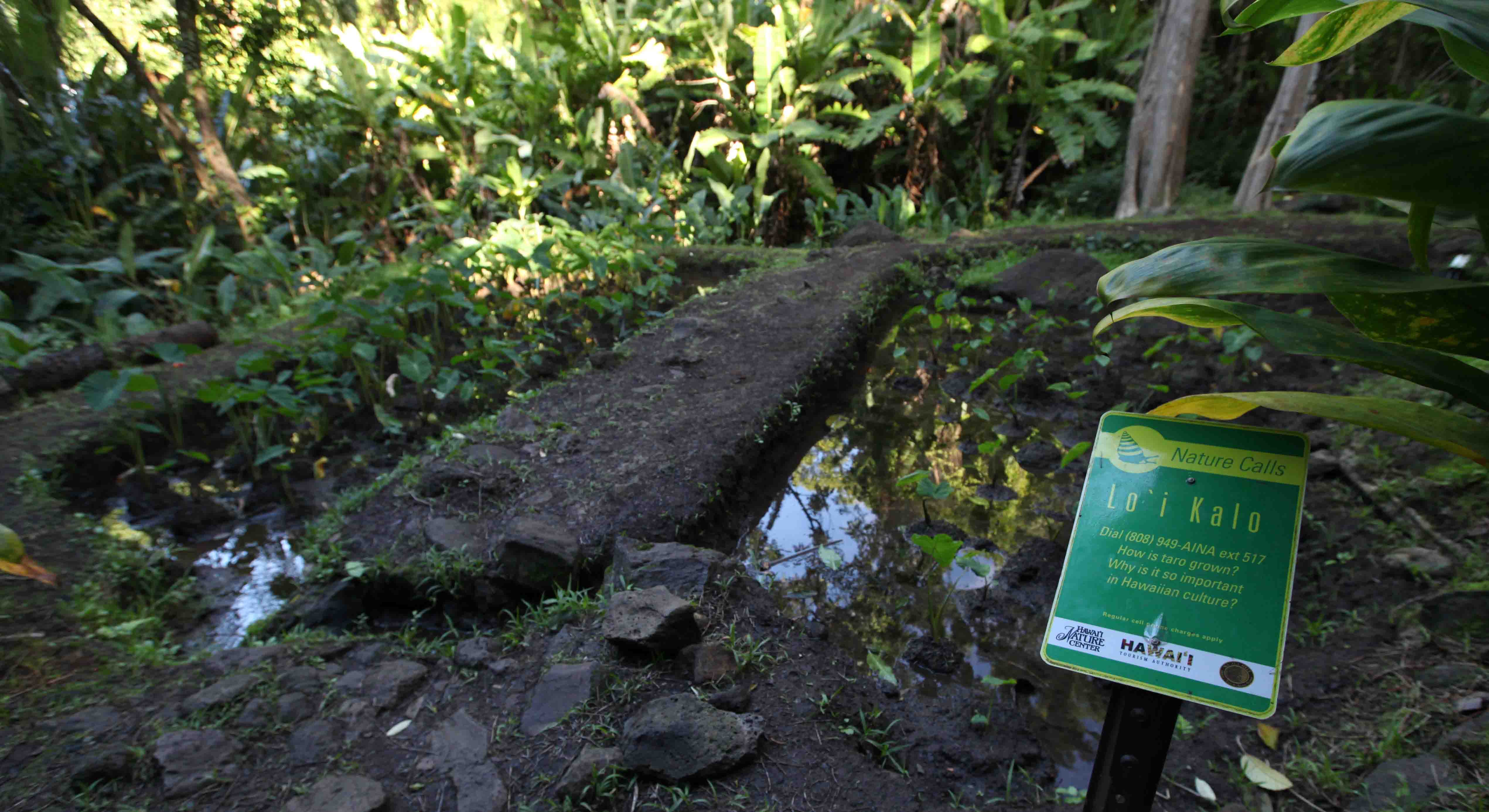
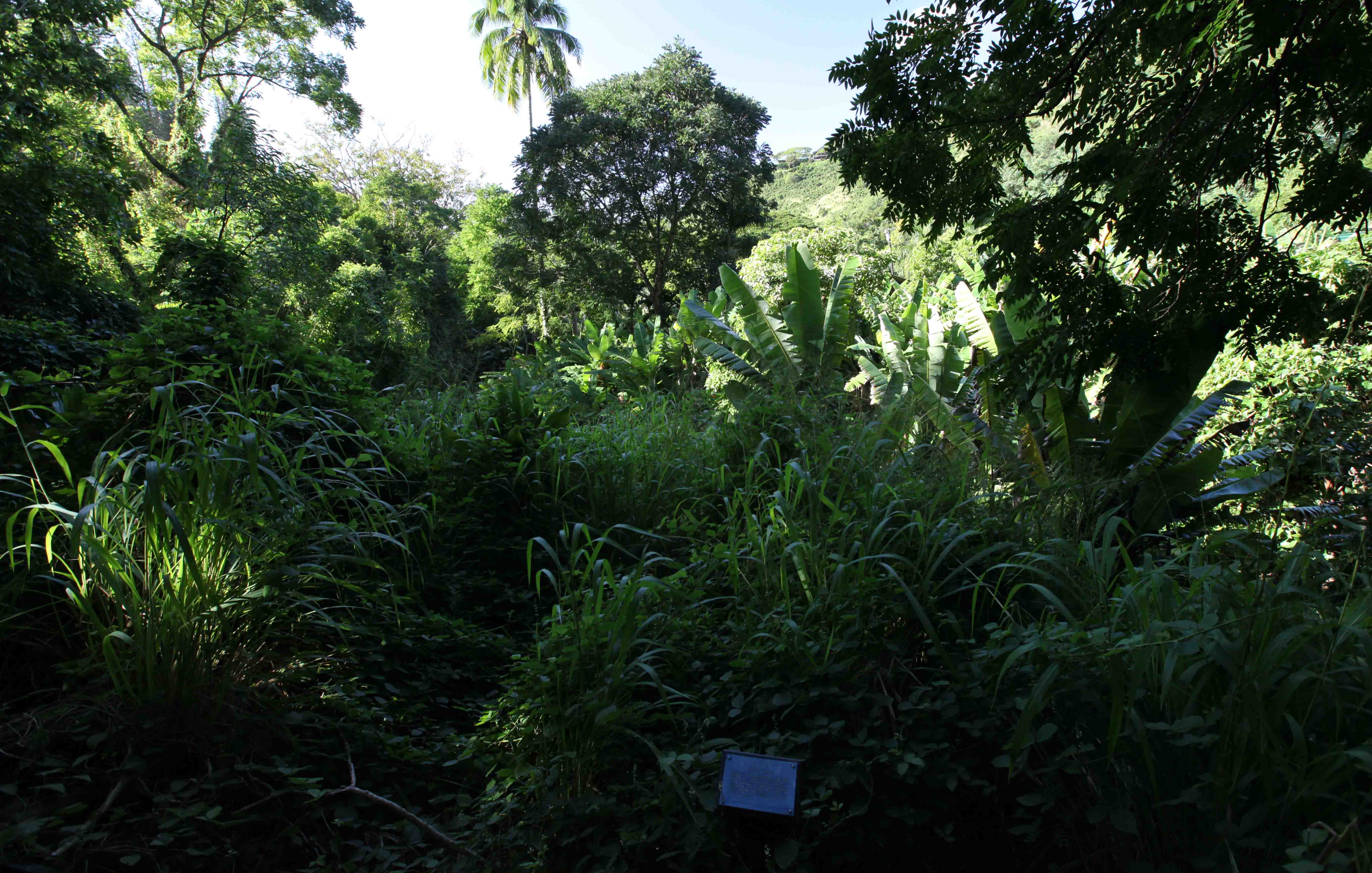
There is a small taro patch close to the trail.
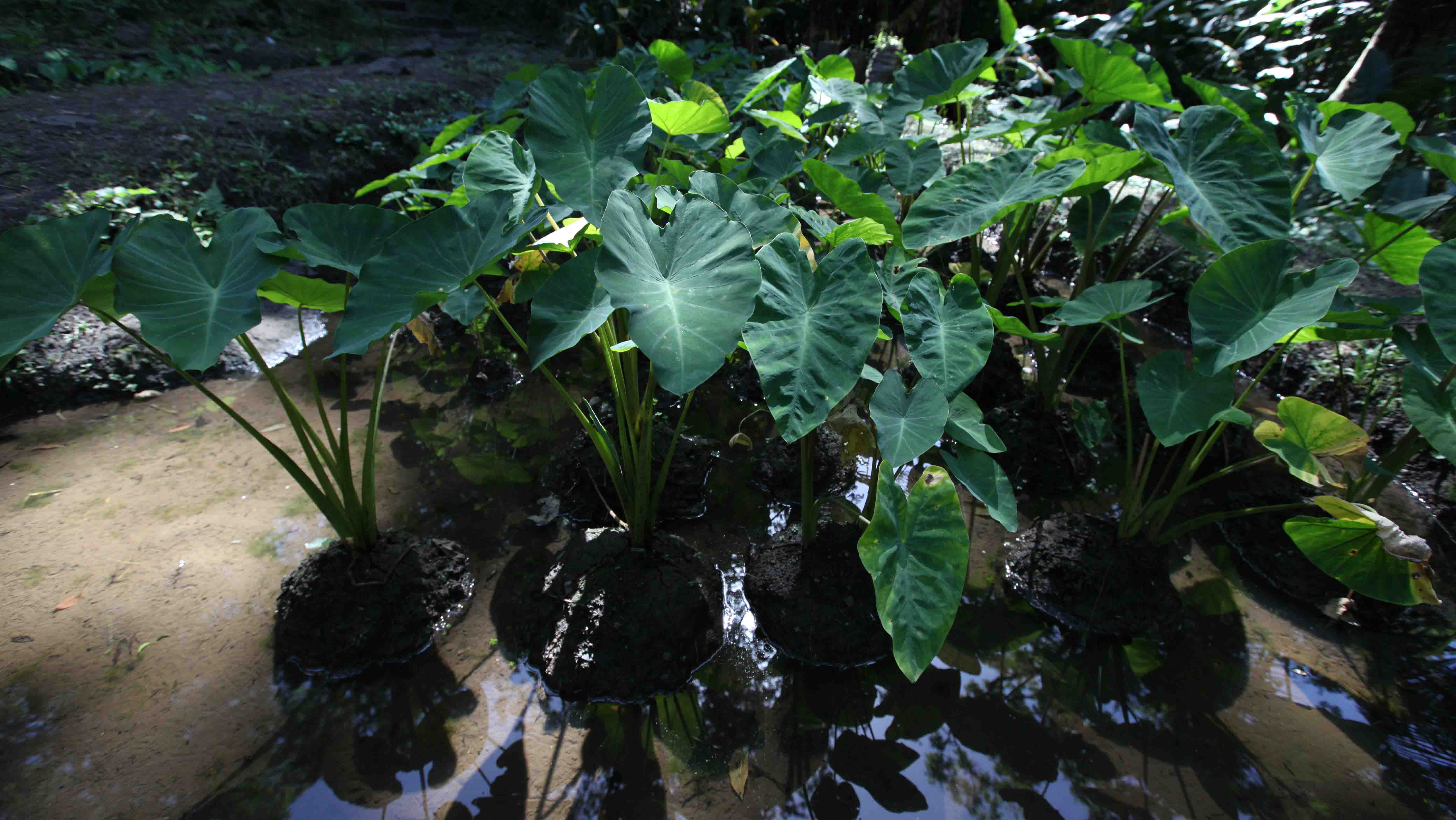
Taro plants

The Makiki Valley Loop is about 2.5 miles. The Makiki Tantalus Loop is about 8 miles.
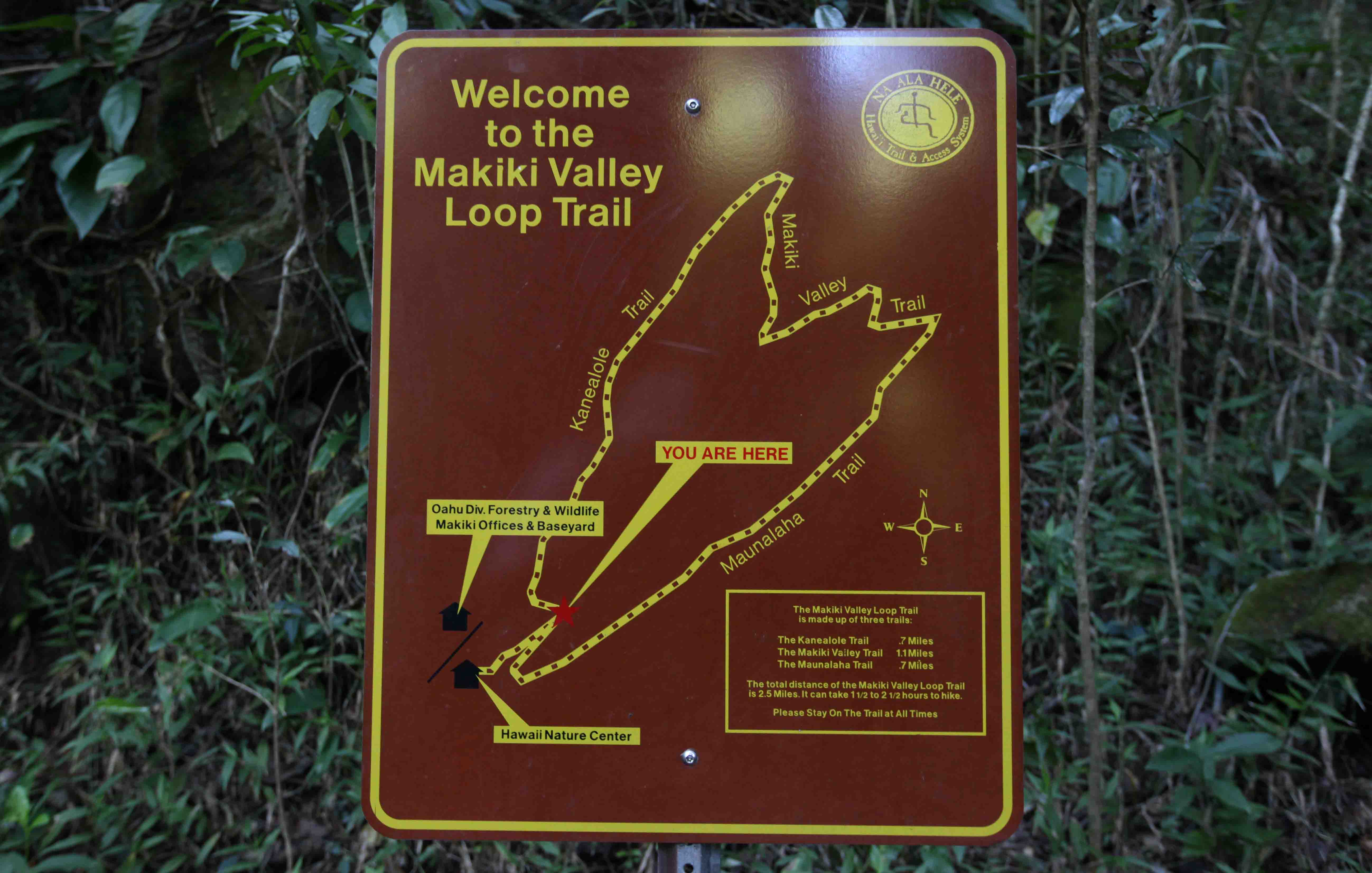
When we saw this sign, we decided to save the 8 mile hike for another year. We followed the trail clockwise, which is the order of the following pictures.
There are many signs at the beginning with information about the plants.

The Akia shrub

There are small streams to cross.

Information about life in streams

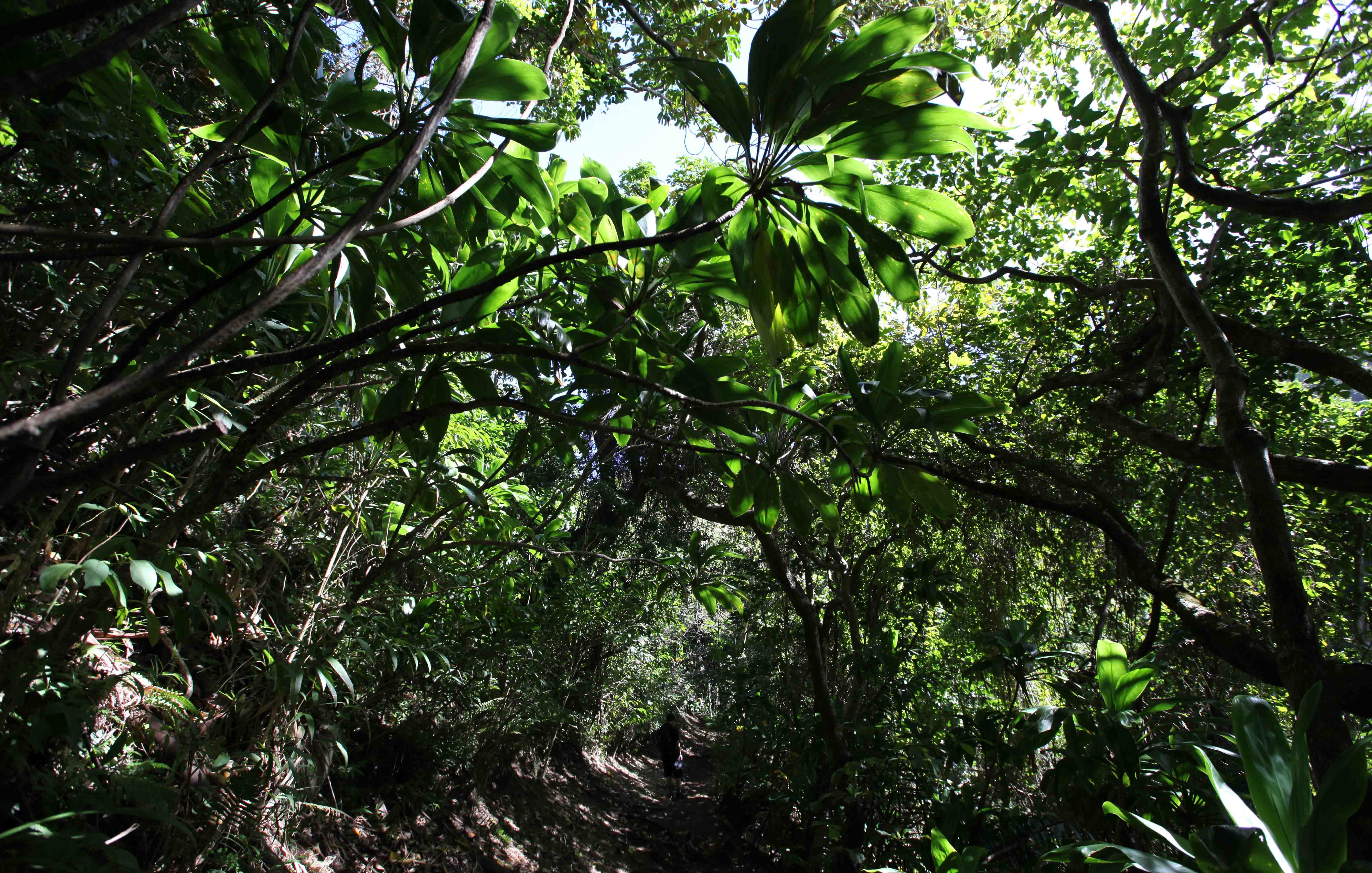
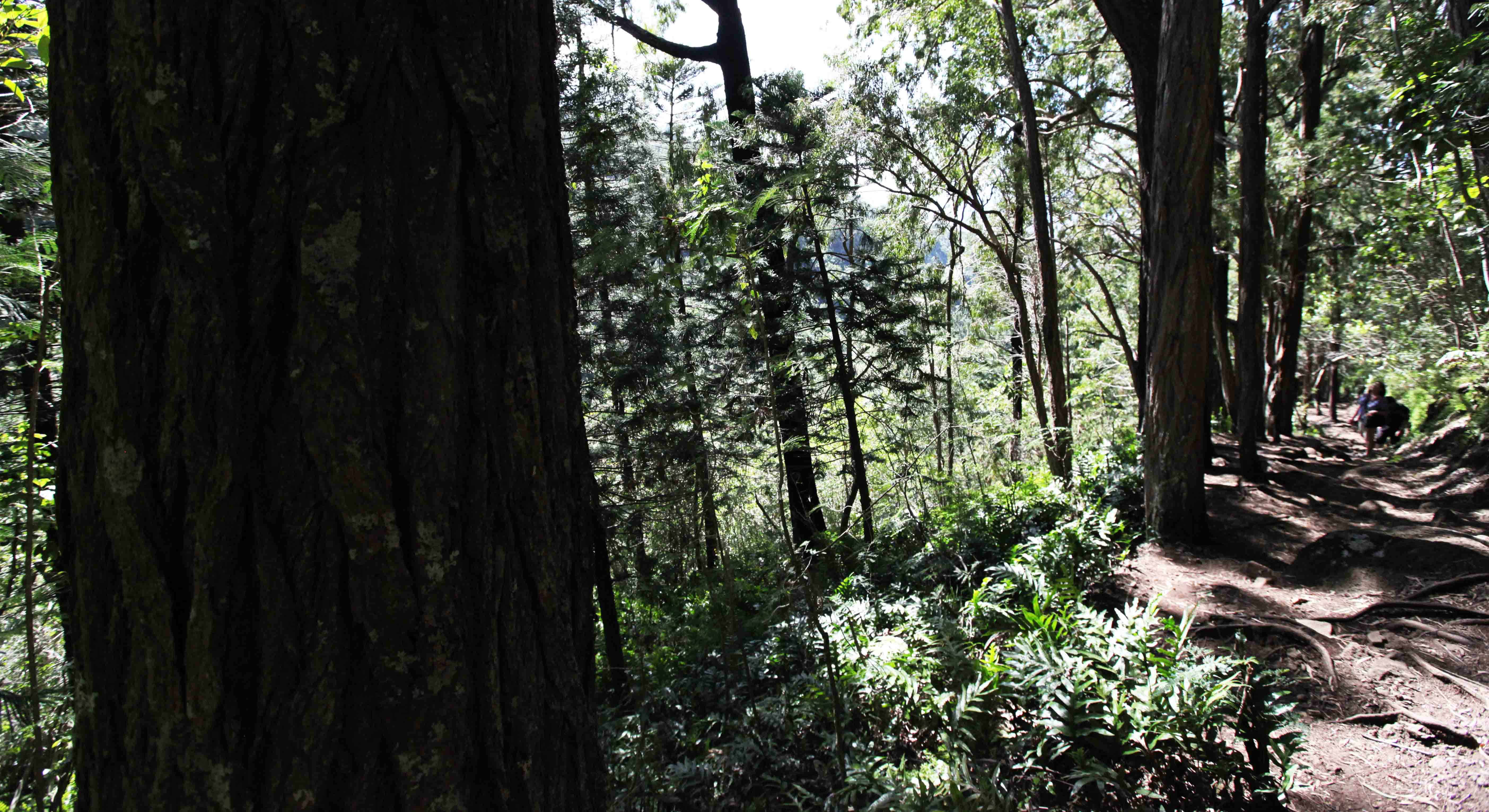
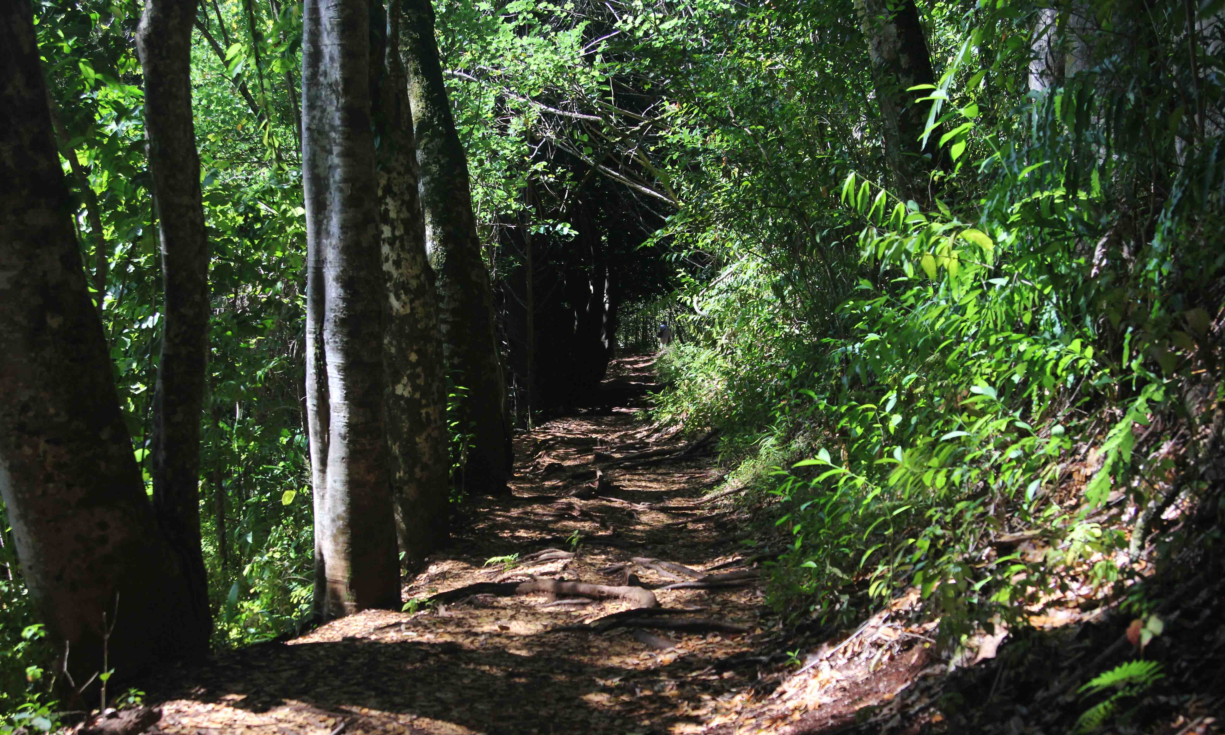
There are a few places where the growth opens up, but this trail does not give grand views of Oahu.

Some parts of the trail are stony.

In some places tree trunks are across the path, but they are not difficult to pass.

The trail is fine when it is dry, but rain would make it muddy and slippery. It gets narrow in places.
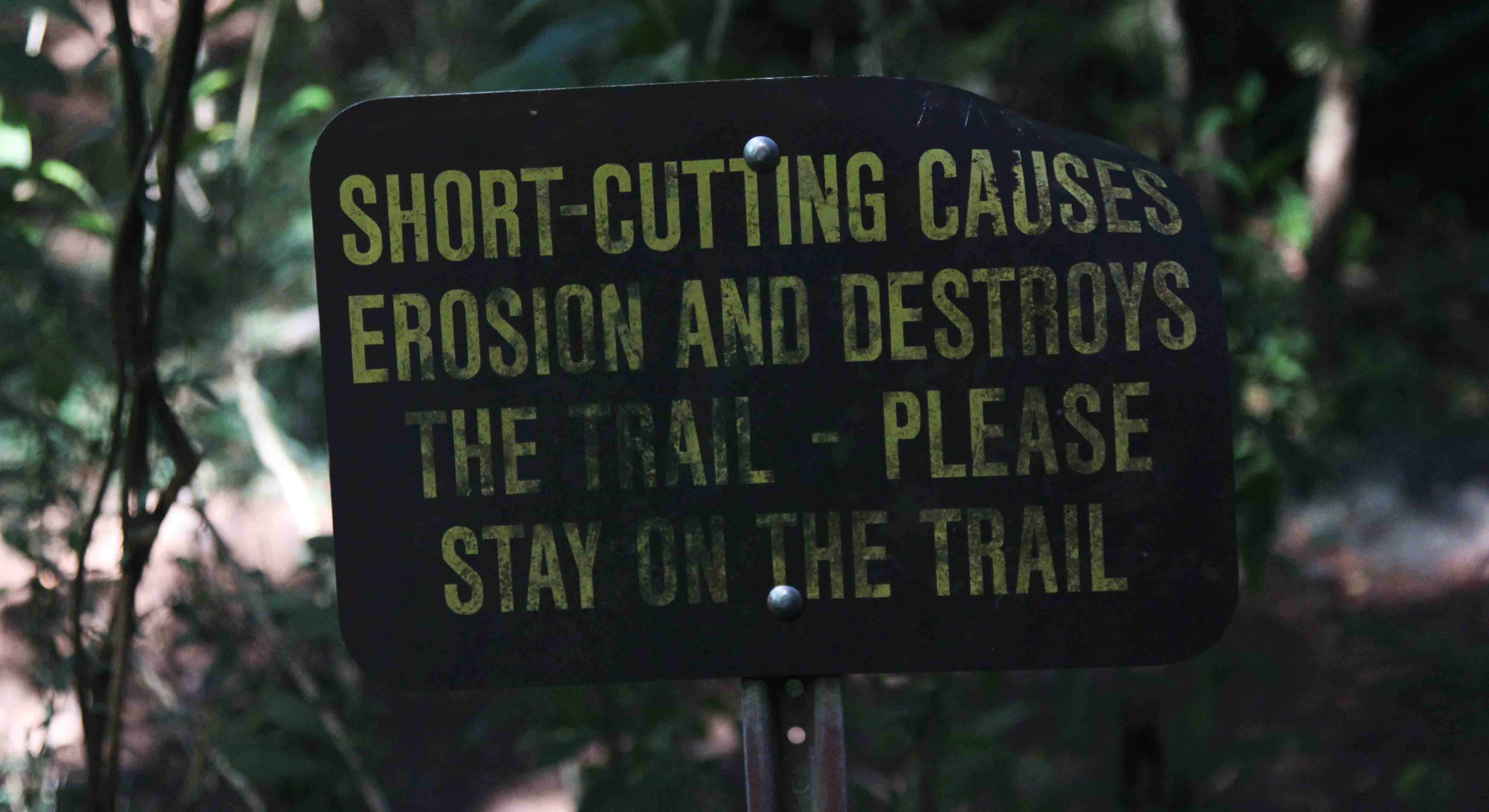
It is important to stay on the trail, also because the trail goes along some very steep drops.

Feral pigs cause a lot of damage, and are very prolific. Over 10 years, one hundred pigs can produce 25 million pigs! On some days of the week, hunters with dogs shoot
pigs to try to reduce the numbers, and there are warning signs about how hikers should behave. They should wear bright colours and keep their own dogs under control.

Ti leaf plant.
Ti leaf plants growing over the trail.

Many stretches of the trail have lots of exposed roots.

Kukui trees Aleurites moluccana along the trail. You can recognize them by the pale green leaves that look silvery at a distance. Most are lobed, and others are plain and oval.

The slopes next to the trail can be very steep, so stay on the path.
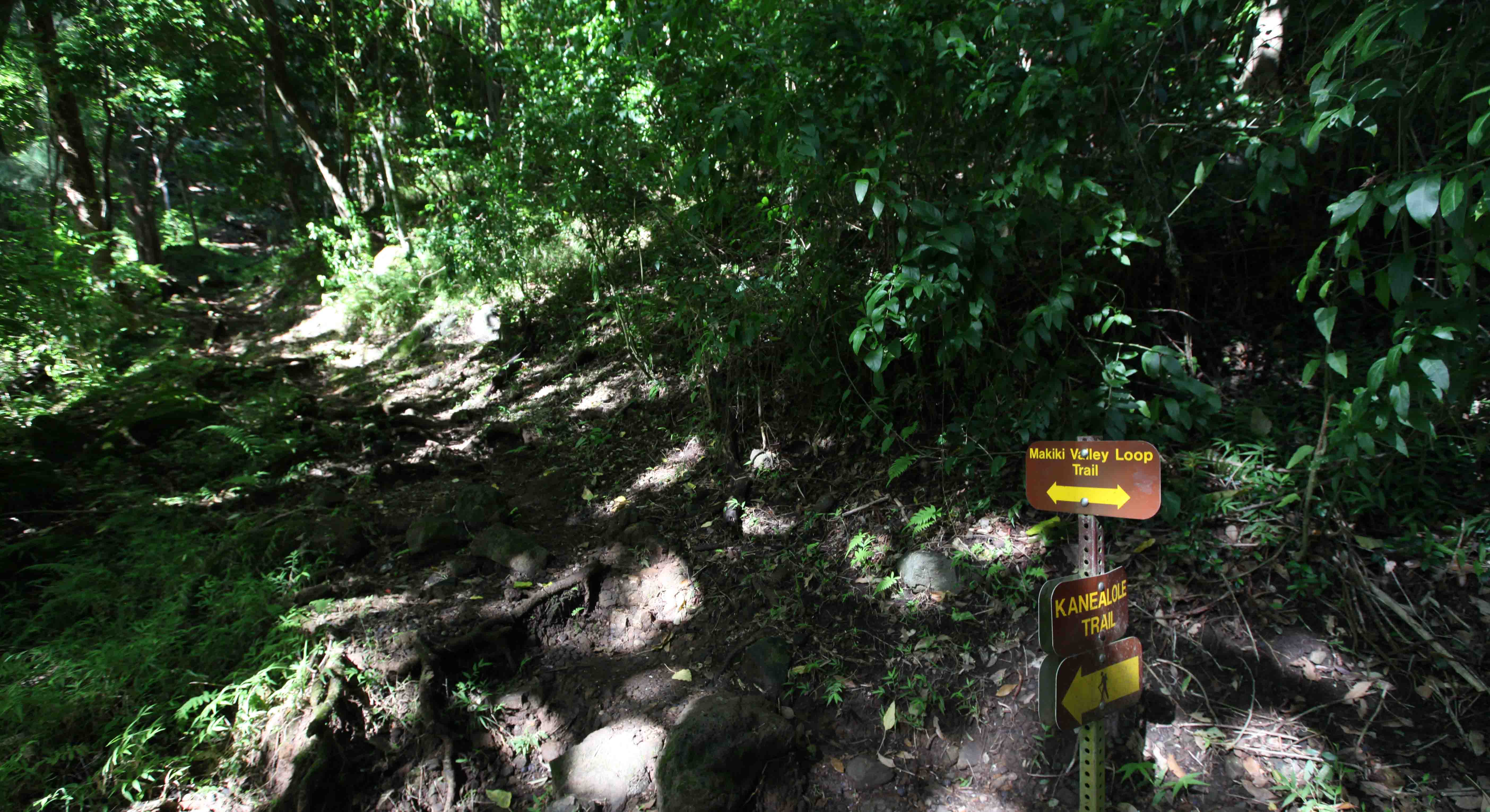
The Kanealole Trail meets the Makiki Valley Loop Trail at N 21° 19’596, W 157°49’334. Go right for the short 2.5 mile loop and left for the 8 mile loop.

Another bridge
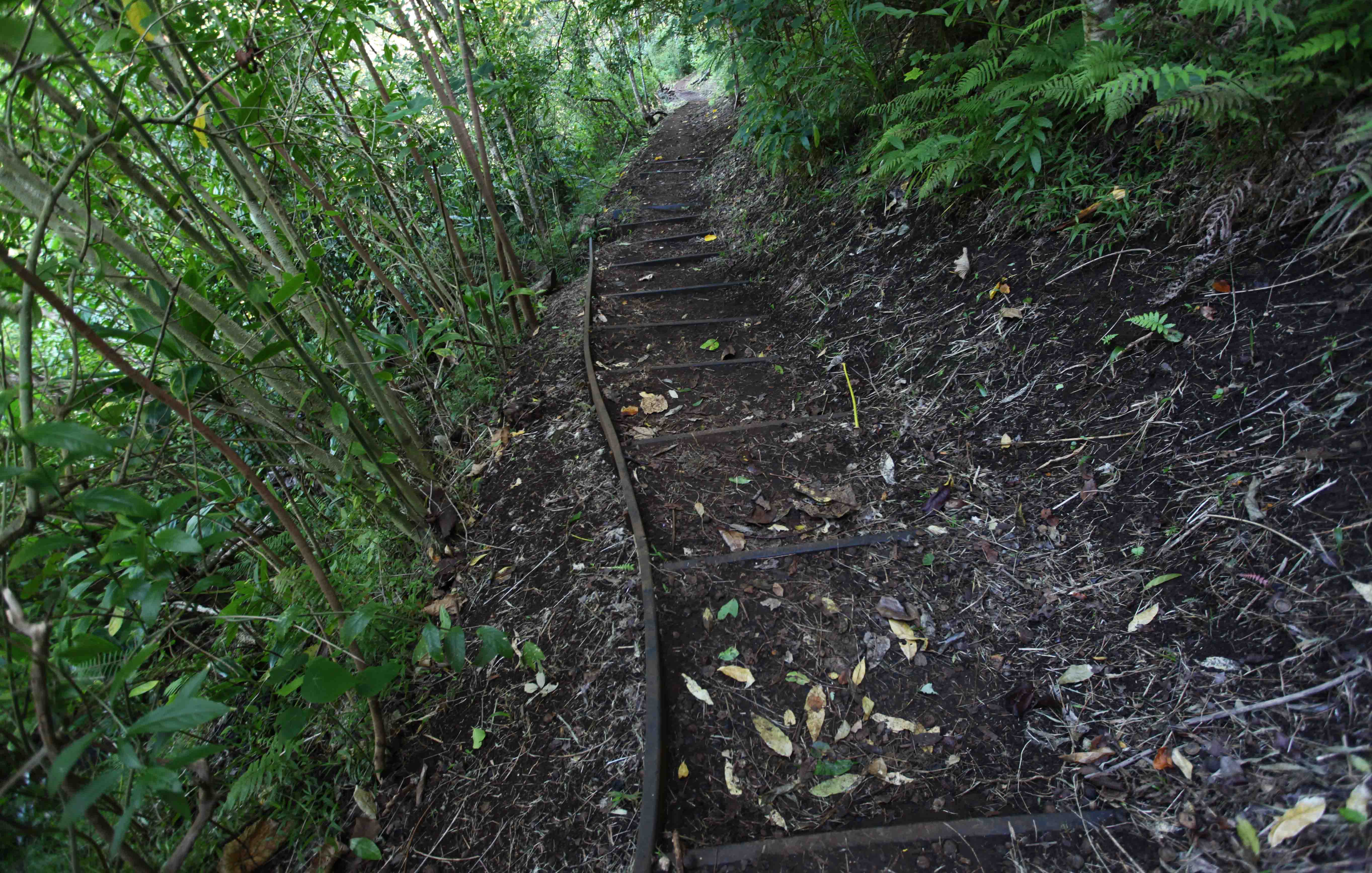
There are steps in some places.
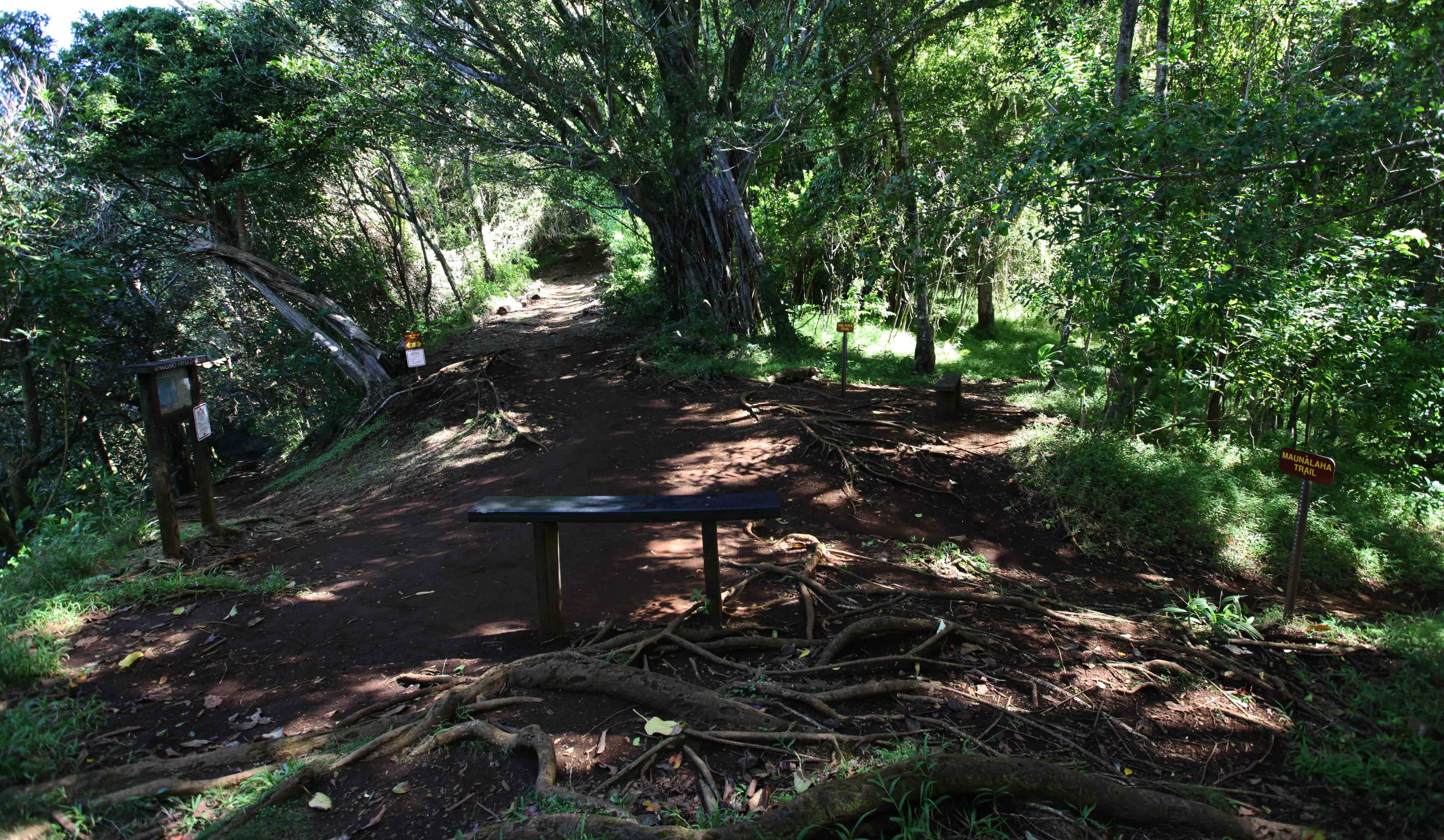
A junction at N 21° 19’267, W 157°49’211 where four trails meet.
We came from the left (uphill) on the Makiki Valley Trail (at 08.00).
MVT does a left turn and continues straight ahead (at 12.00). This where one returns on the Makiki Tantalus loop.
The Ualakaa Trail at (14.00) leads to Nutridge Street and the Round Top Lookout.
Our short loop takes the Maunalaha Trail (16.00) back to the start.

Close to the end of the loop there are many Eucalyptus trees with very coarse bark.
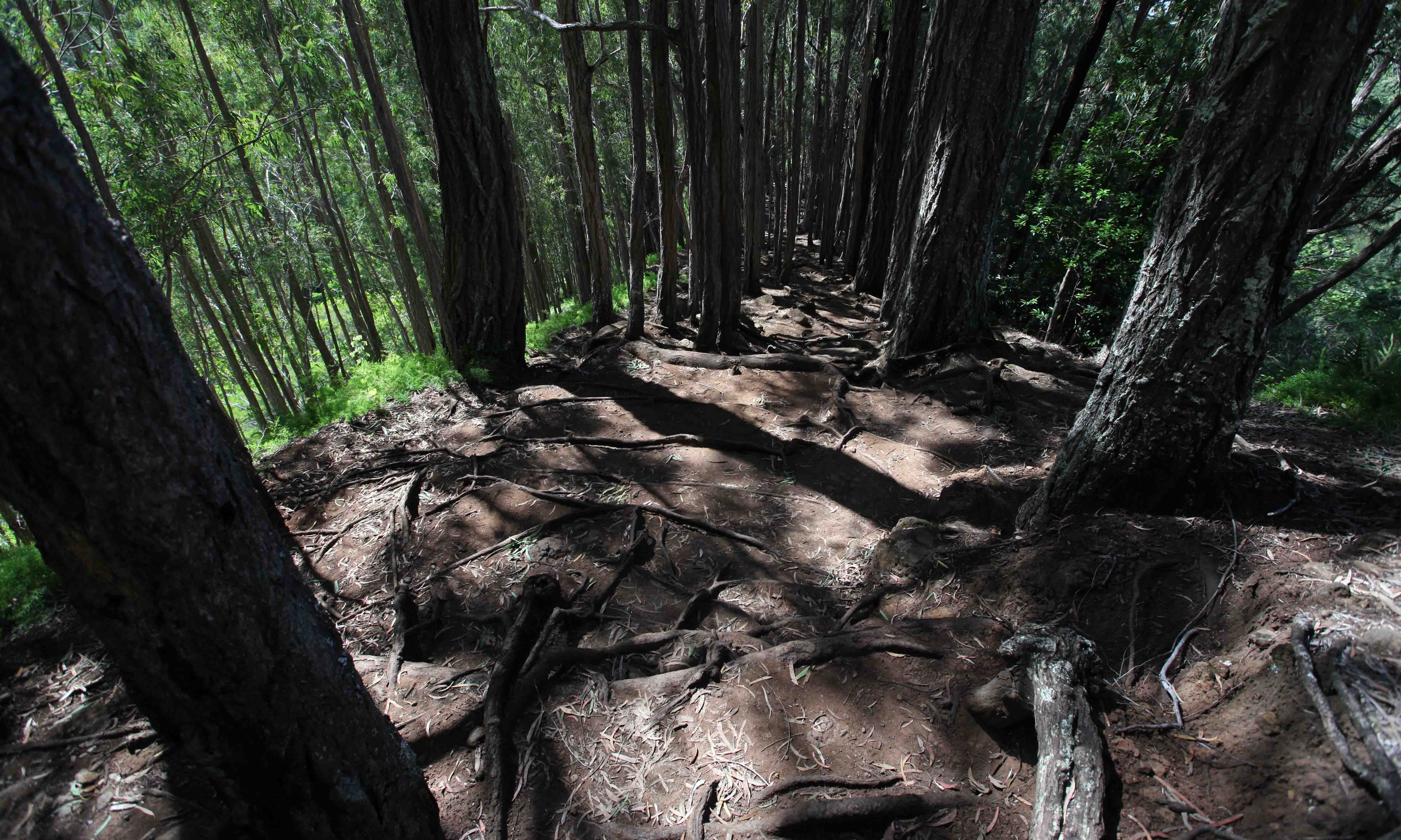
Eucalyptus trees. If you find green leaves from the trees, rub them in your hands and you will smell menthol.

Going downhill. Narrow trail with lots of rocks and roots. Asparagus ferns on the right.
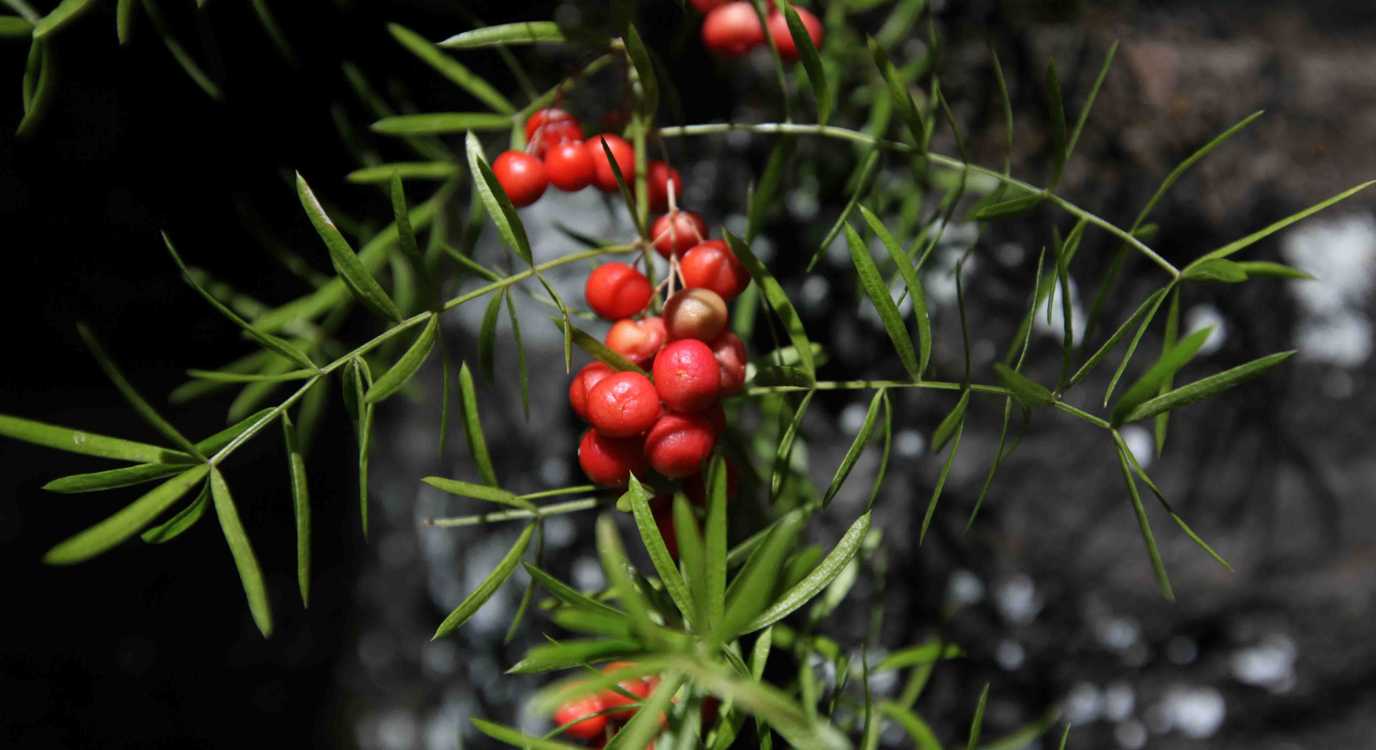
These berries on the asparagus ferns was the only color apart from green along the trail.

Ferns growing along the trail.
The loop took us two hours, walking slowly and with frequent breaks to take photos. We heard many birds, and this must be a rich area for bird watchers.
