Uluru/Ayers Rock

We three days in the outback in Central Australia to see Uluru, perhaps better known as Ayers Rock, Kata Tjuta/The Olgas and Kings Canyon.

The road from Alice Springs was straight and led through a flat landscape.
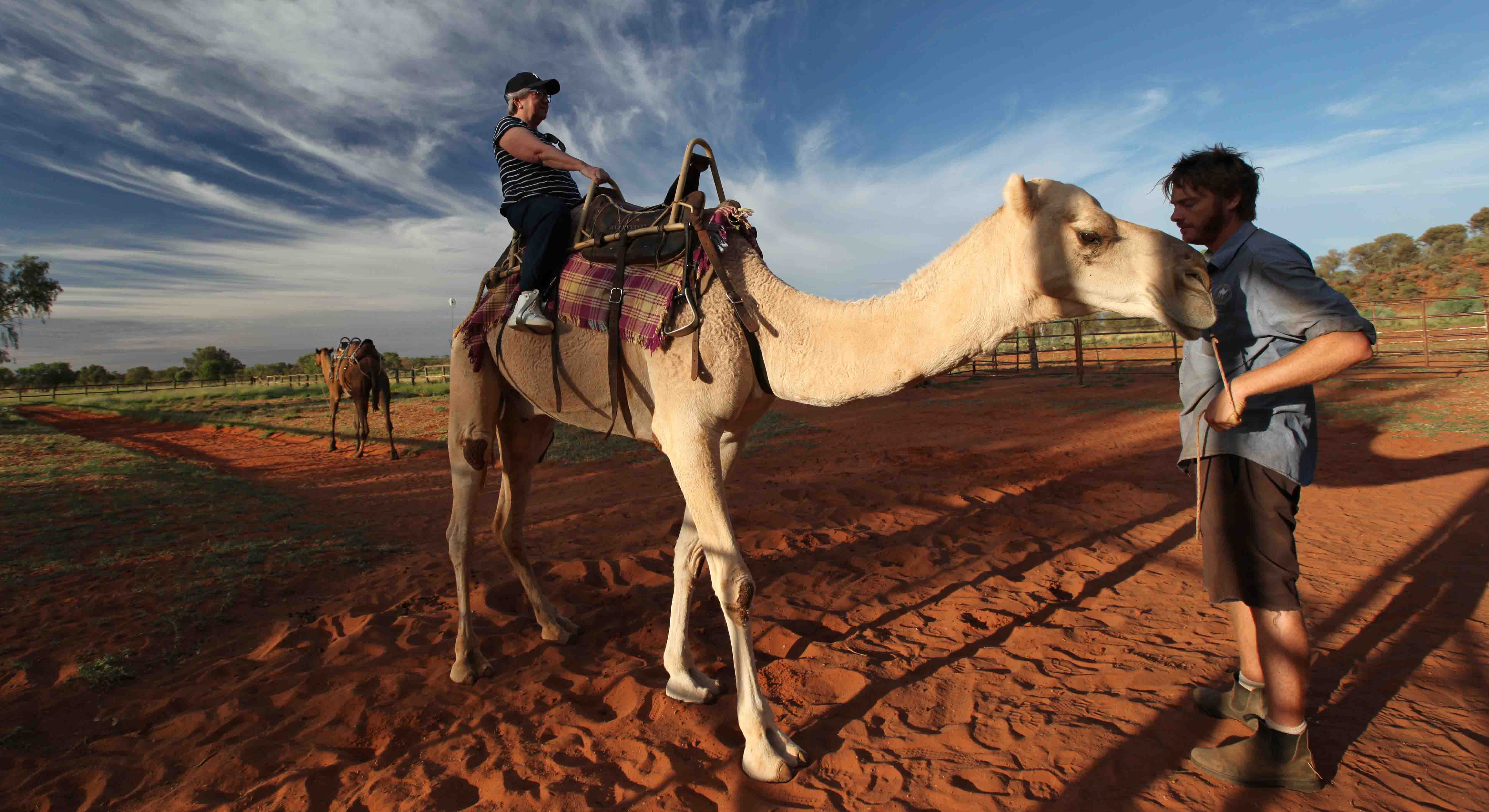
We made a few stops, including at a place where you could try a camel ride.

We stopped here for a break and to visit a gallery of aboriginal art. The centre is owned and run by the Impana
Community about 18 km away. We bought a painting we liked and later understood that we had made a very
good buy. The prices here were lower than we saw elsewhere and the money goes directly to the community.

We finally reached our destination, after a six hour drive.
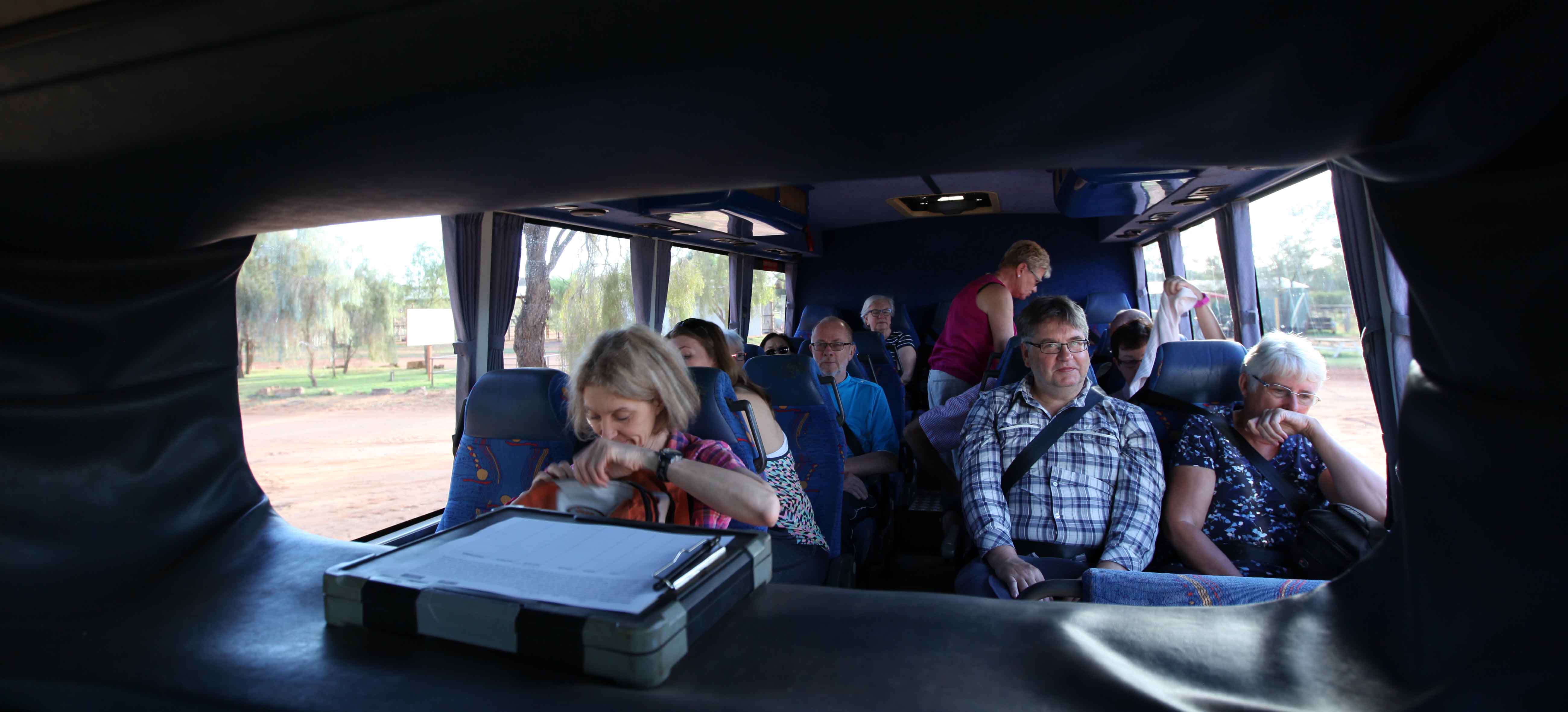
The members of the tour from the front seat.

Our camp the second night. The cabins have canvas sides and roof in a steel frame with a solid floor and gables.
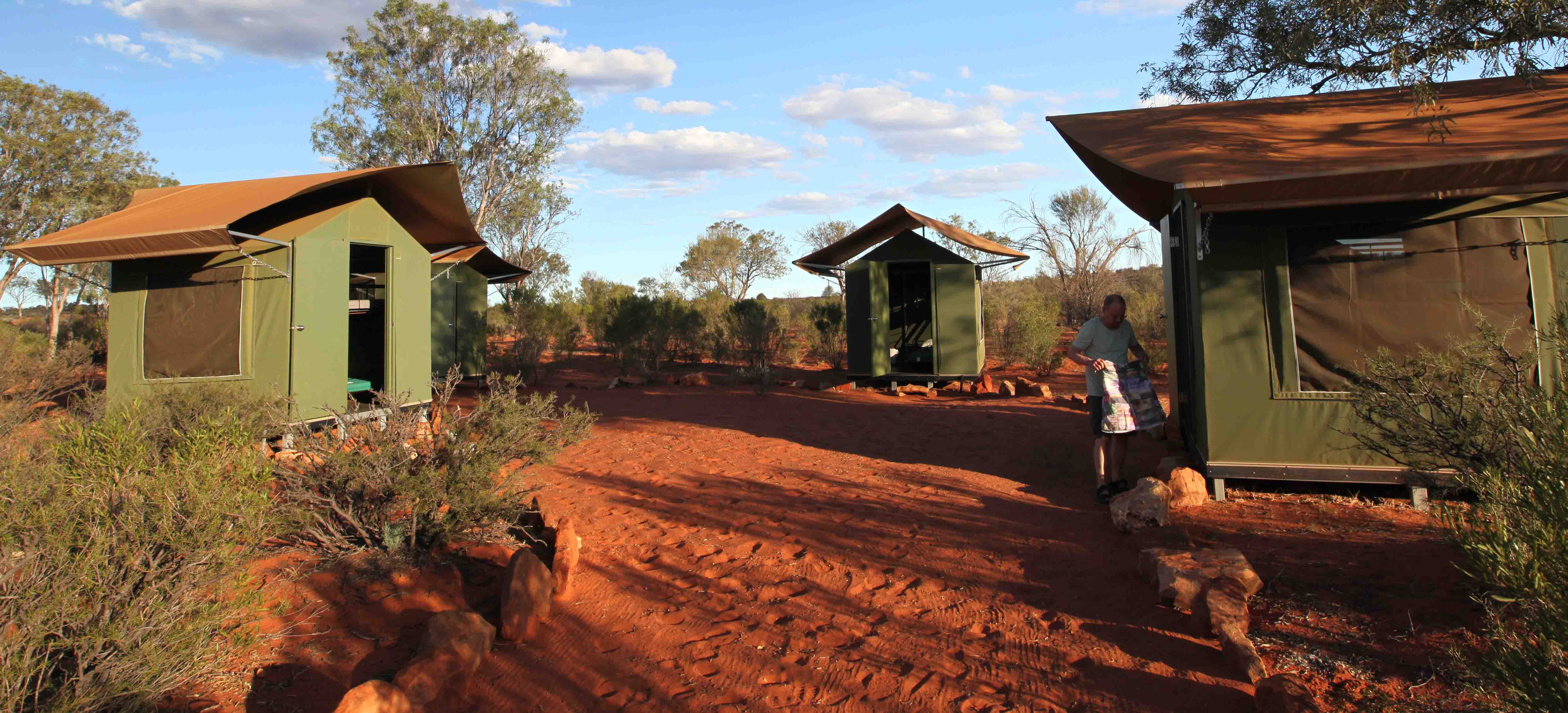
The cabins had a double roof, to help keep them cool.
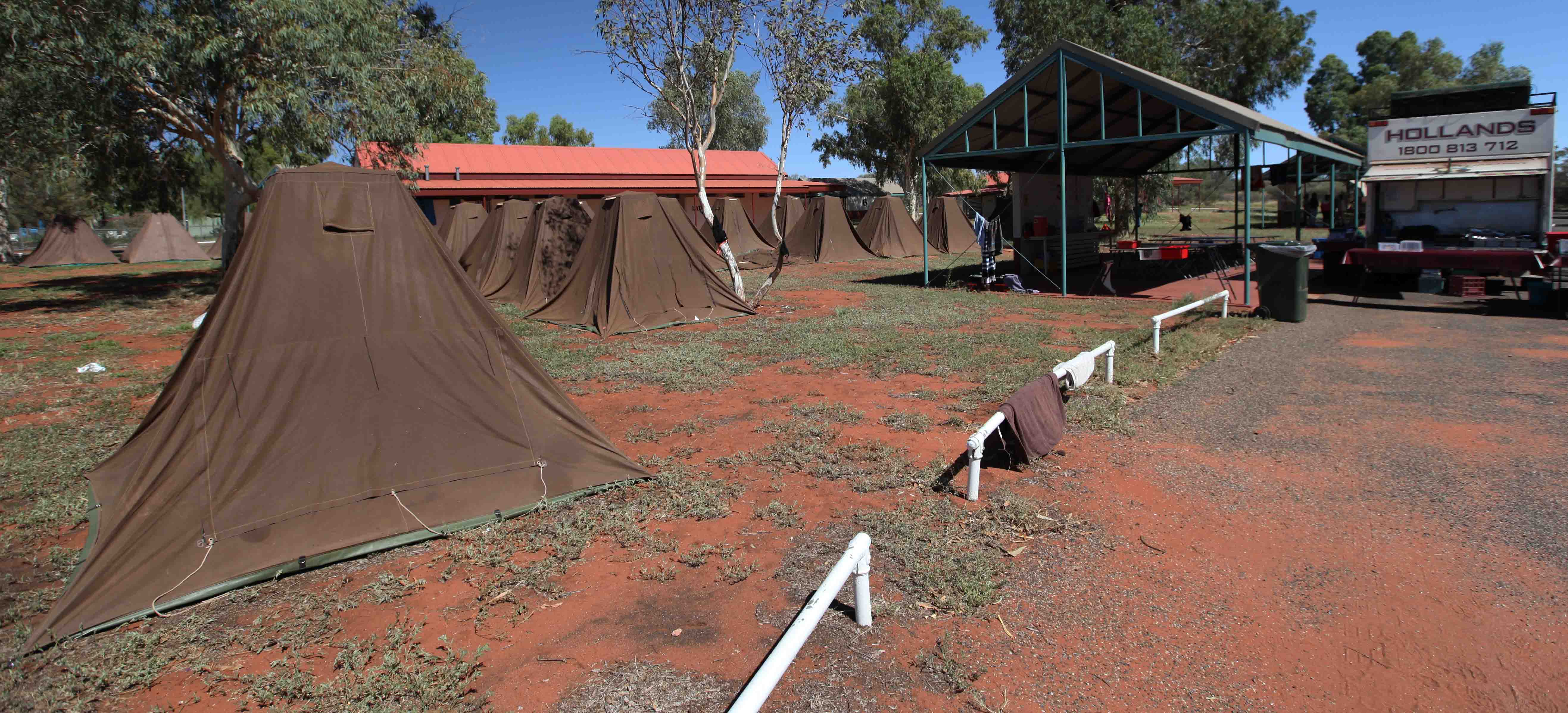
We saw these tents at another camp and wondered how it would be to sleep in them as there did not seem to be any ventilation.
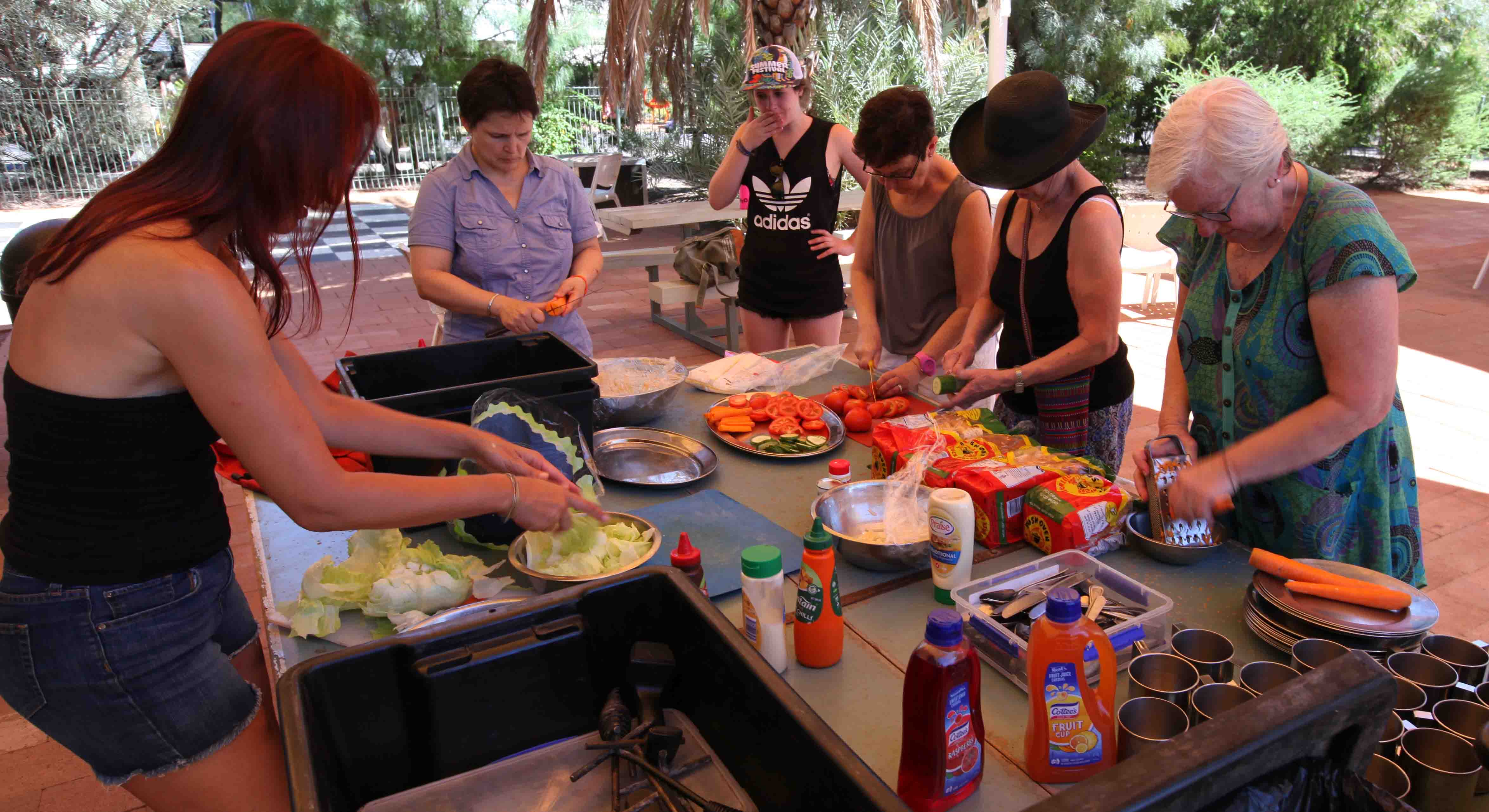
We all had to help with the food, for all meals. The women worked on the salads …

… and the men took care of the grill!
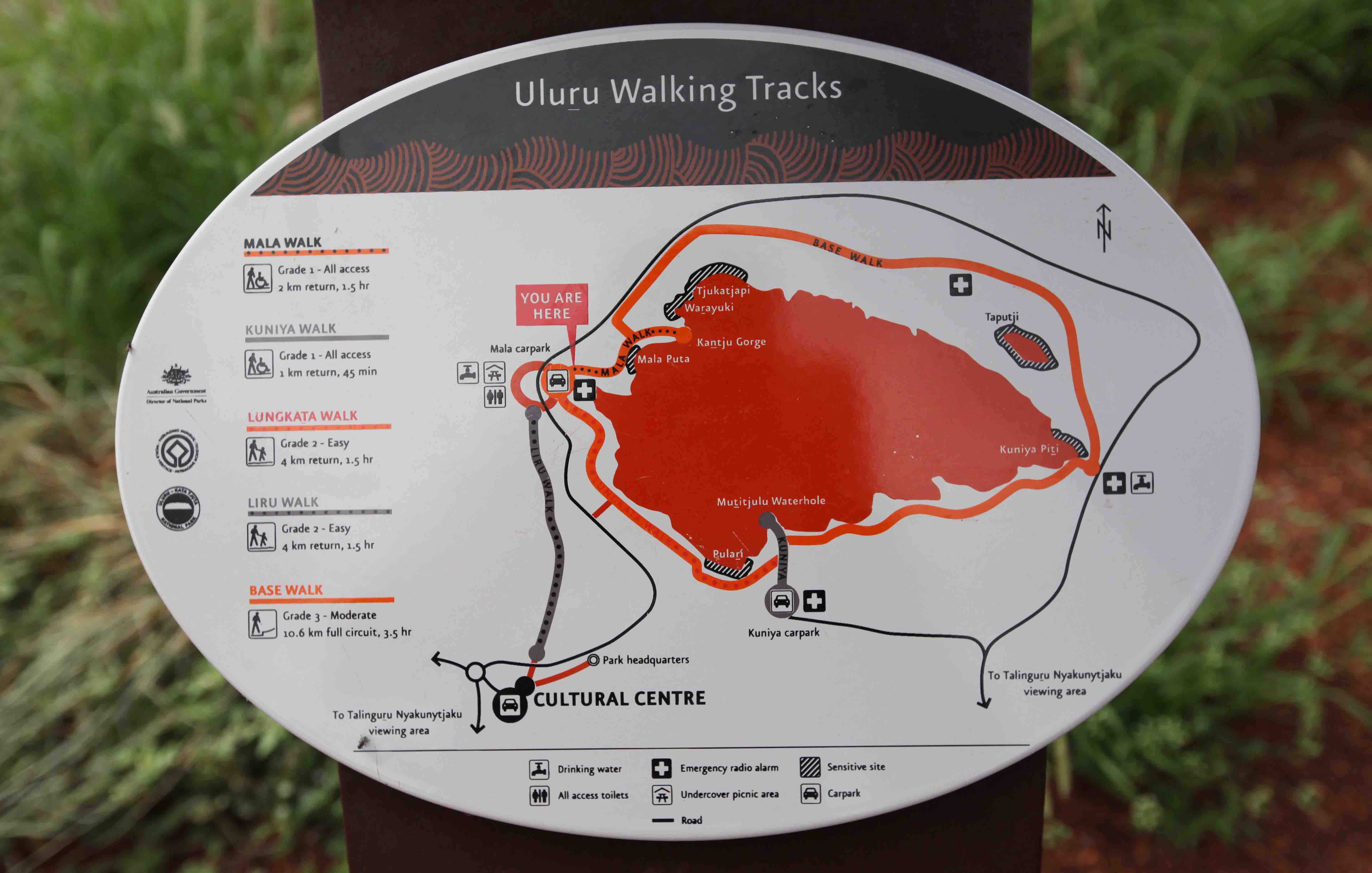
There are several walks around Uluru and a very good information center. No photography is allowed at the center
or several culturally sensitive areas around the rock. Taking photos there can carry a fine of between AUD 5000 and 6000.
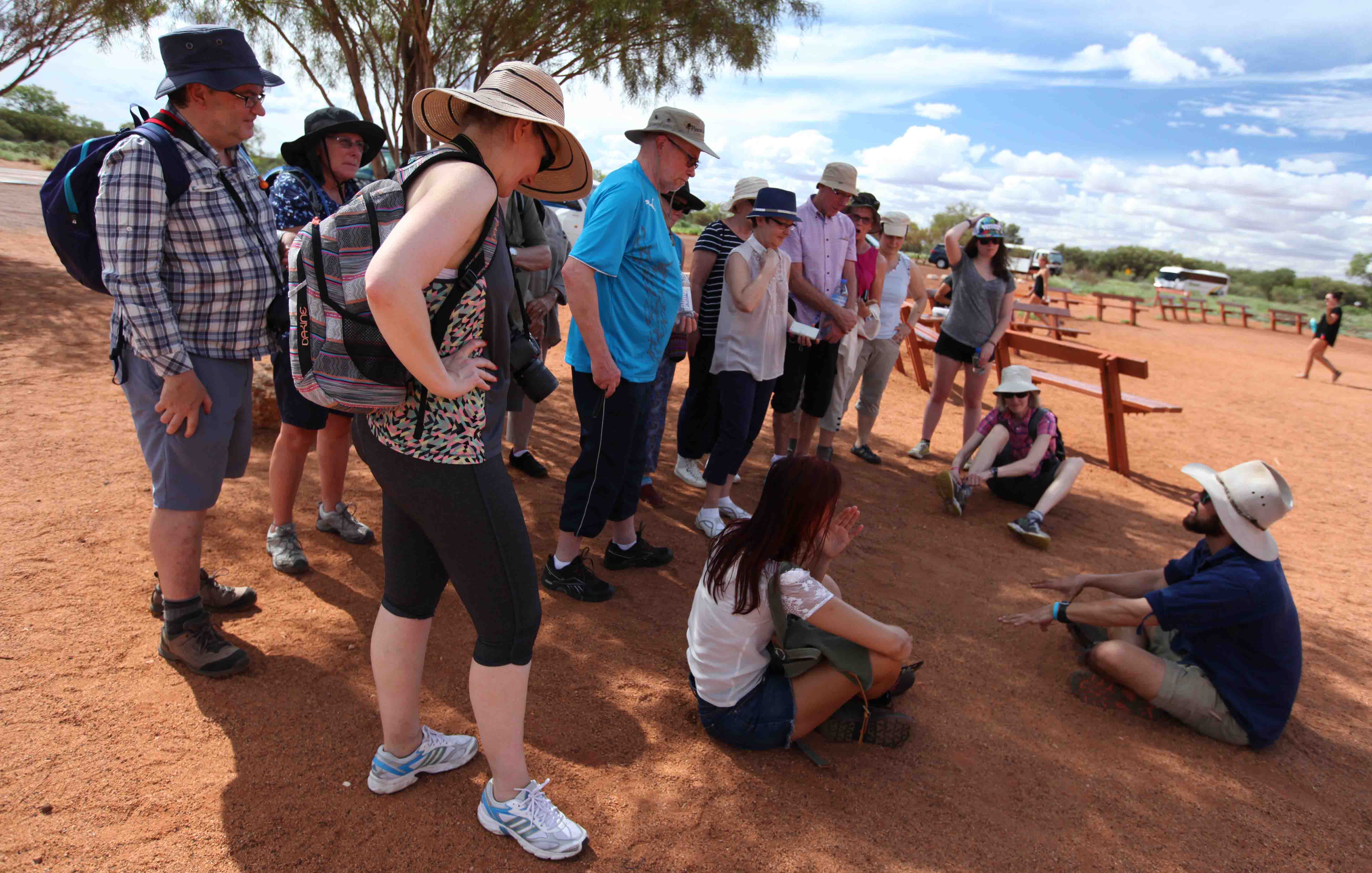
Our guide Adz gave us lots of information and told us lots of stories about aboriginal
culture. Adz like most Australians has a mixed background, and some aboriginal heritage.

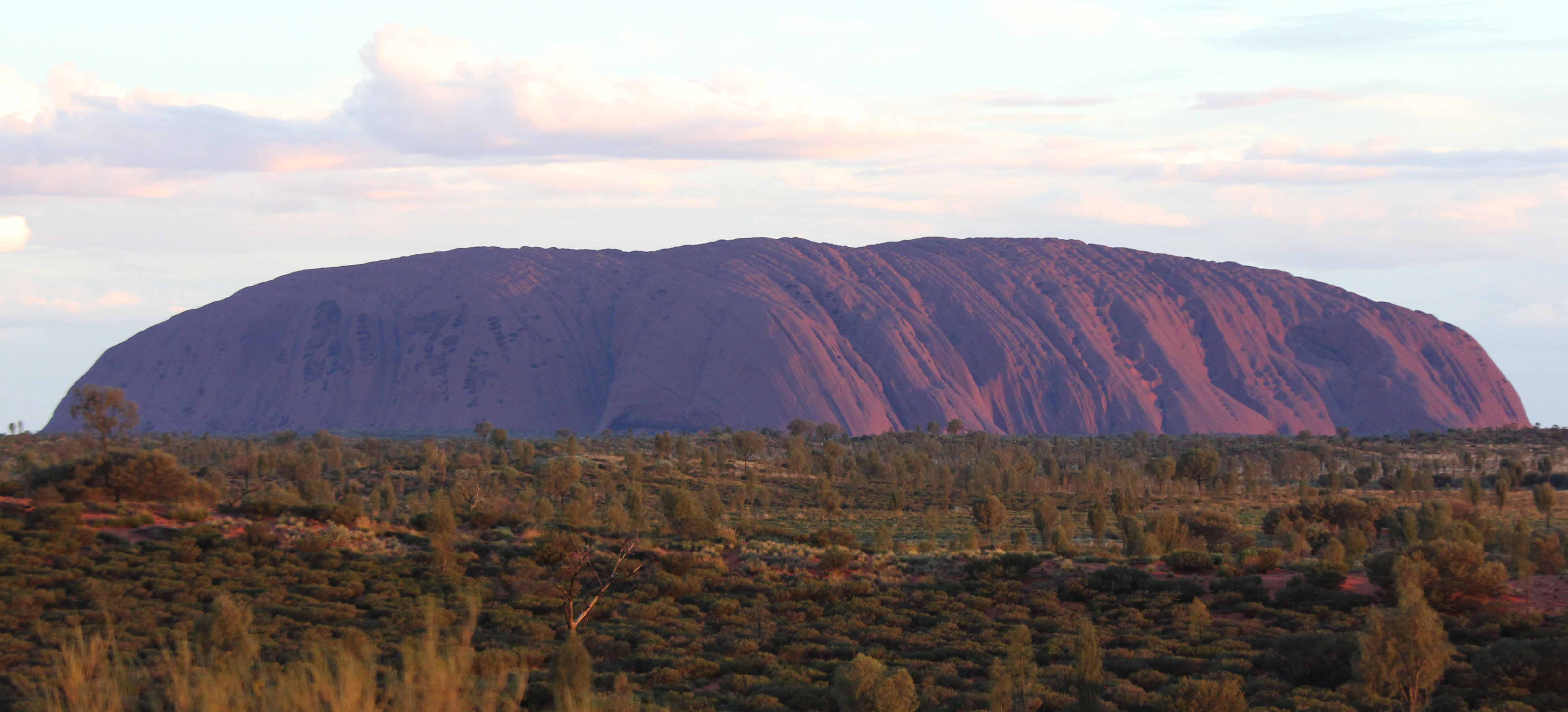
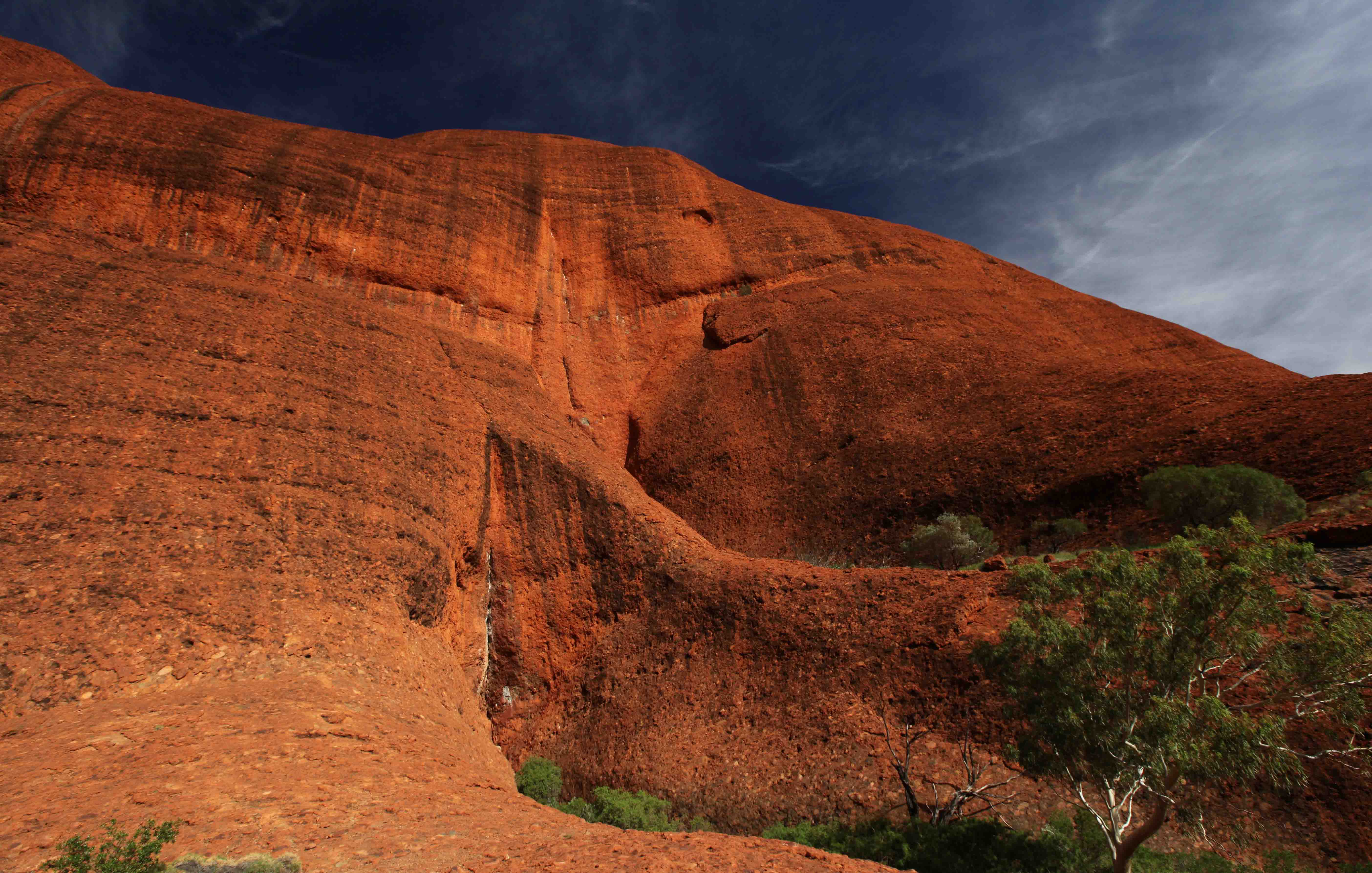
The rock gets even more impressive as you get closer.

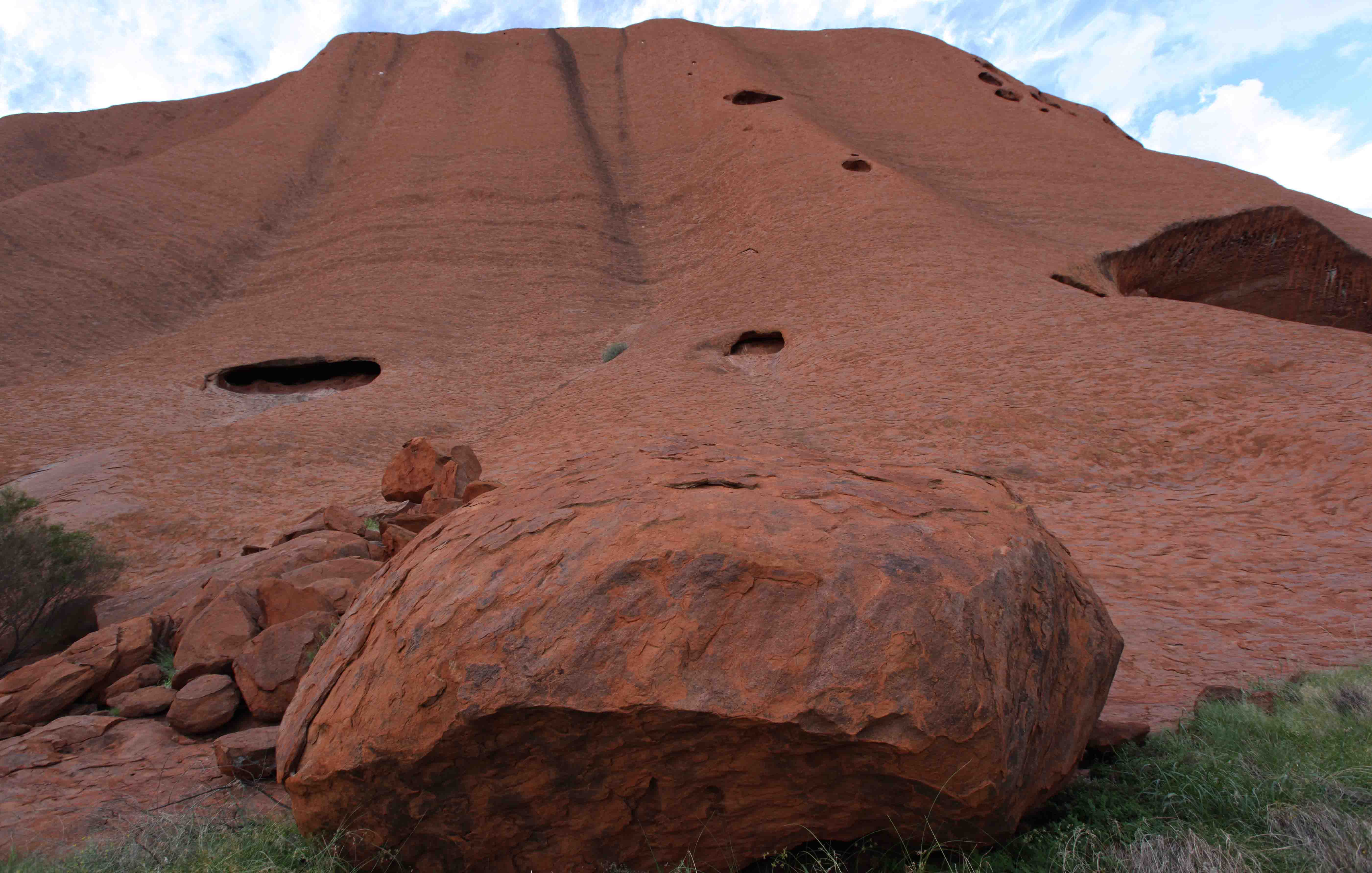
The rock surface seems like scales.

We saw one tourist who decided to run across the rock. Walking across sensitive areas can carry a penalty of
AUD 5,500. Adz said that the guards would take care of this person, so the tourists guides did not intervene.

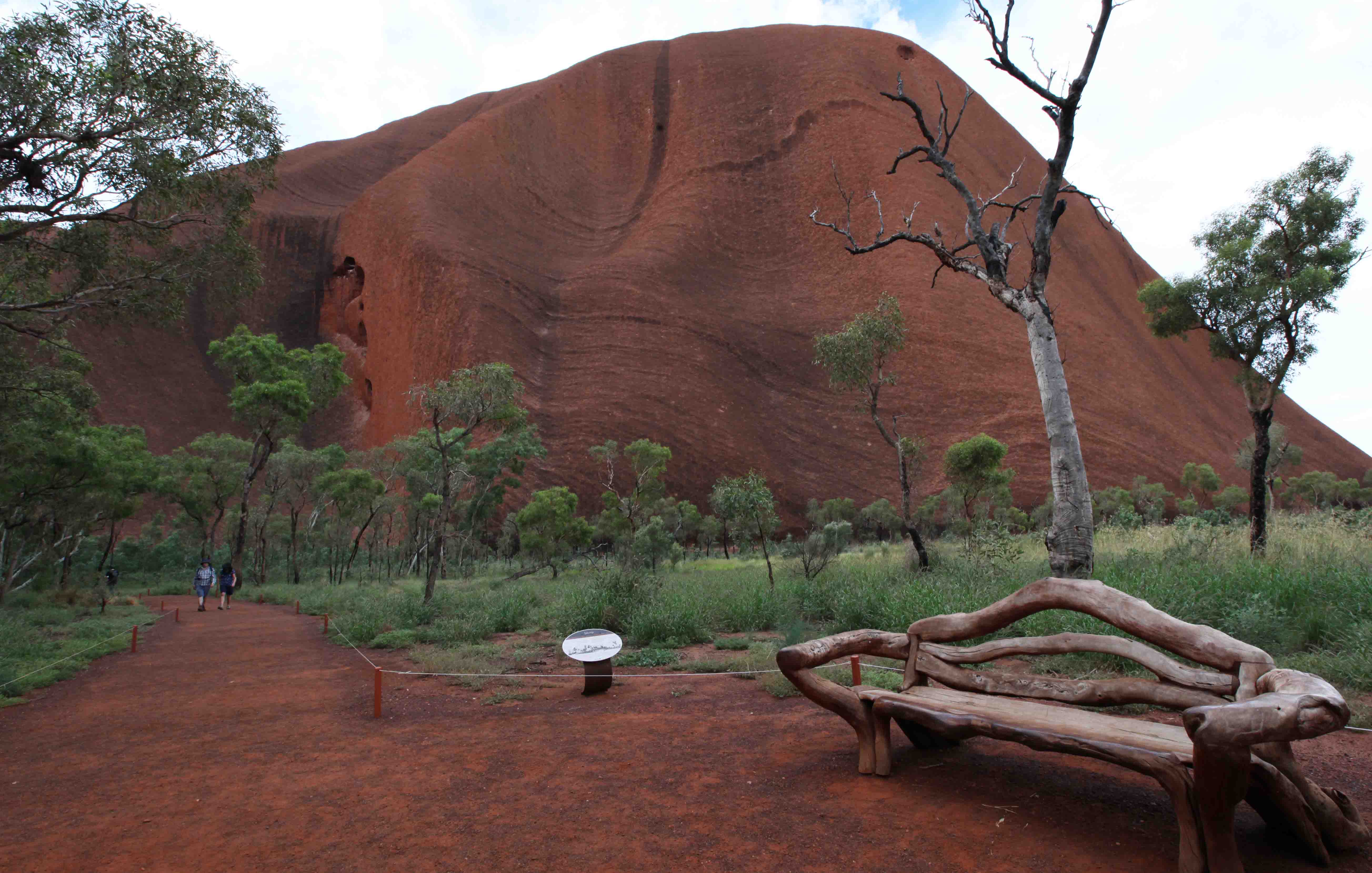
There are some benches along the pathways.

Mututjulu waterhole.
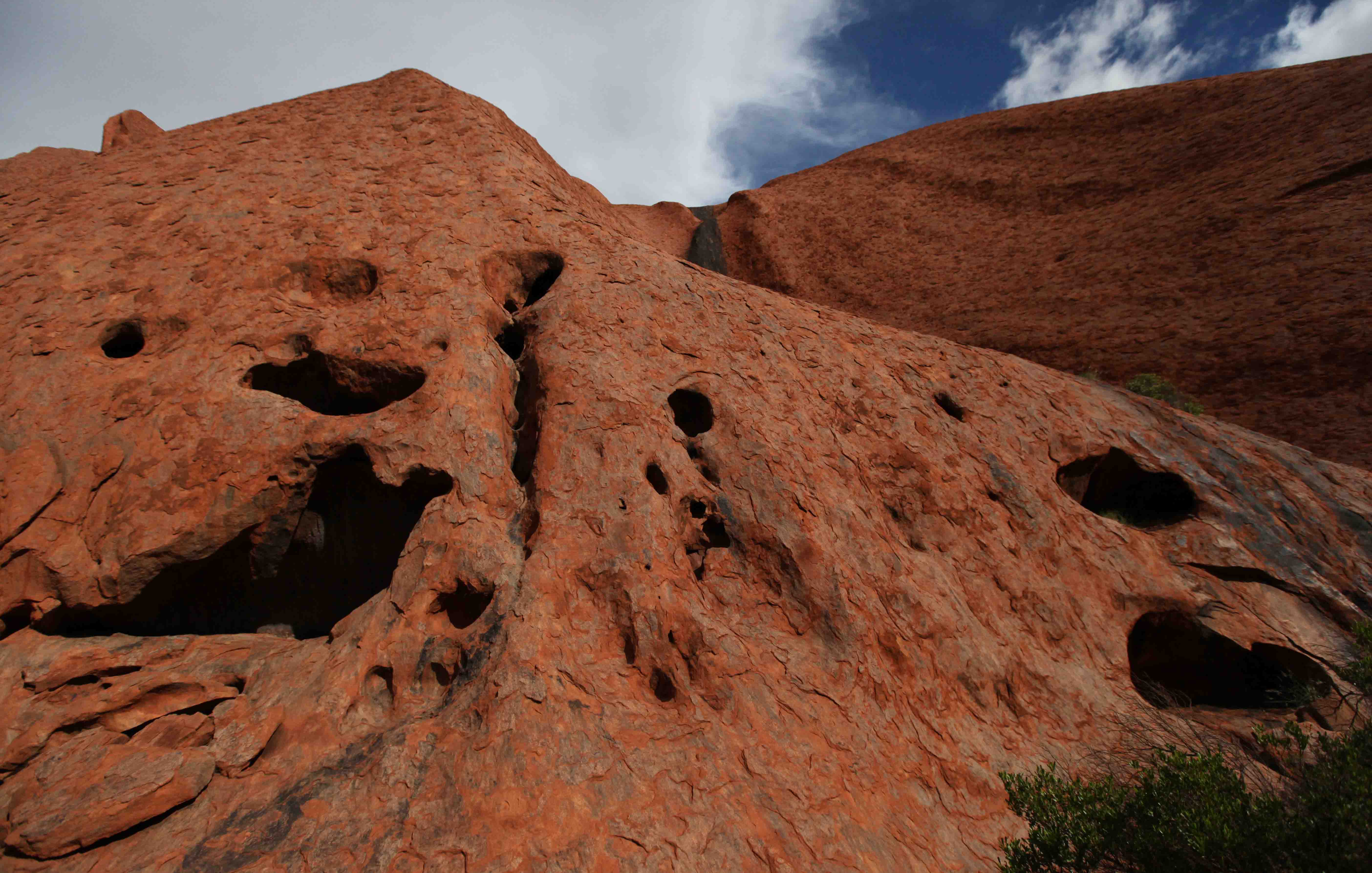
Some rocks have lots of holes.

It is easy to understand why the owners see the rock as a very special place.
It is said that those who take rocks from the formation will be cursed and suffer misfortune.

The teaching cave with ancient rock paintings.

The plant with the yellow flowers is an Acacia hilliana.

One very impressive tree is the Kurkara, Allocasuarina decaisneana, or Desert oak, which grows by the information center.

Many tour groups gathered to see the sunset. Lots of buses and at least a hundred people, all drinking a toast — a sun downer?

Artists selling paintings behind the line of tables with glasses — and tourists.

We left to watch the sunset from an outlook near our camp.
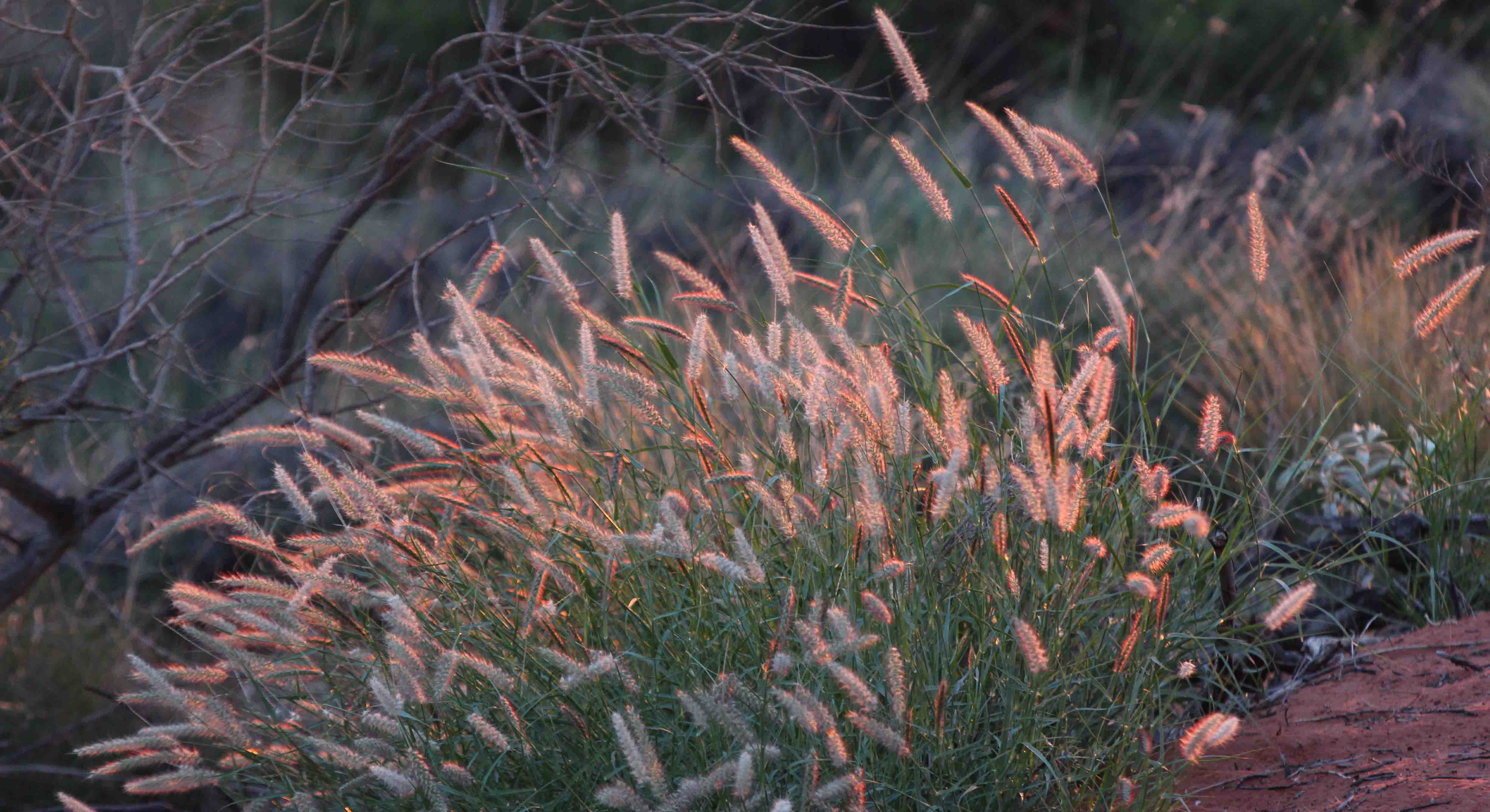
The light from the setting sun gave a very special glow to the grass.
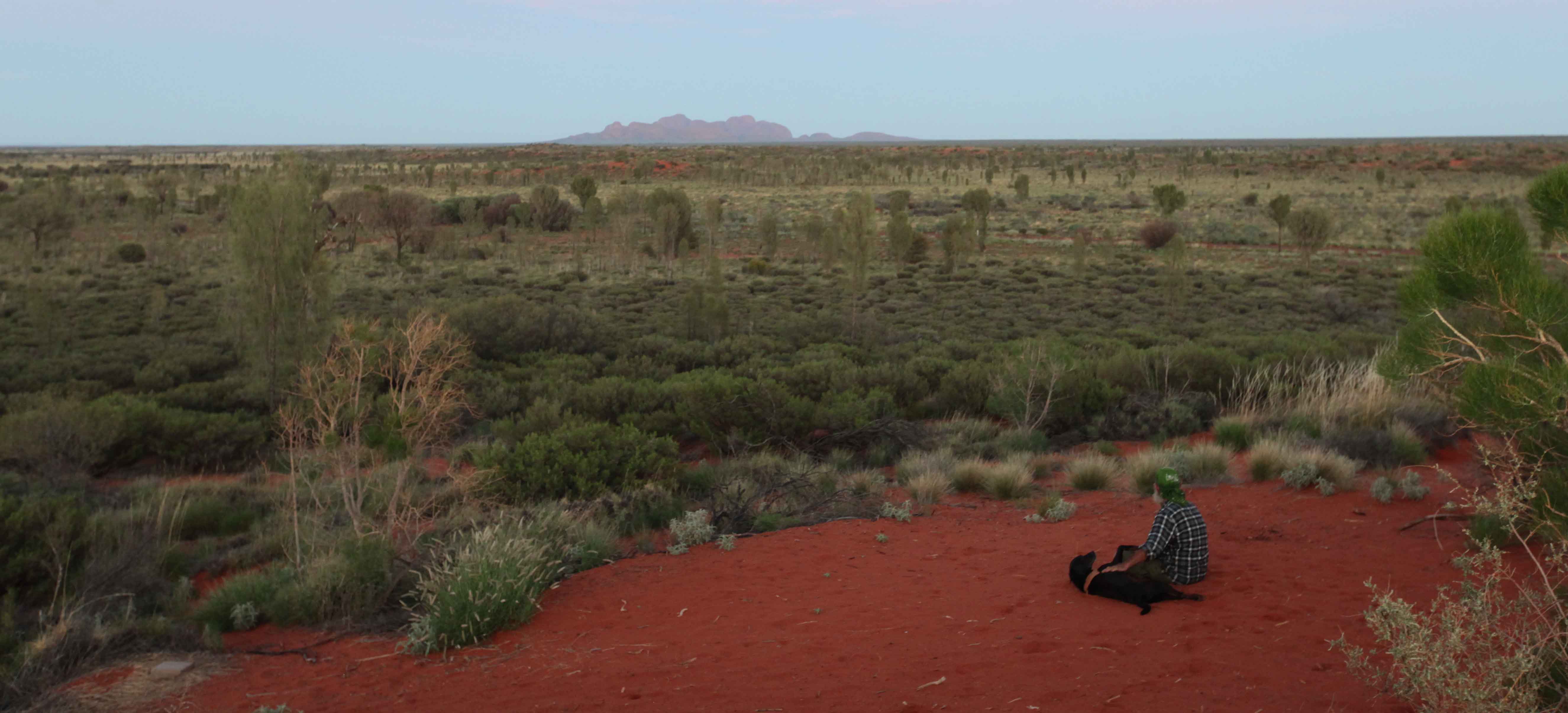
A man sat below us, looking in the opposite direction, at Kata Tjuta.
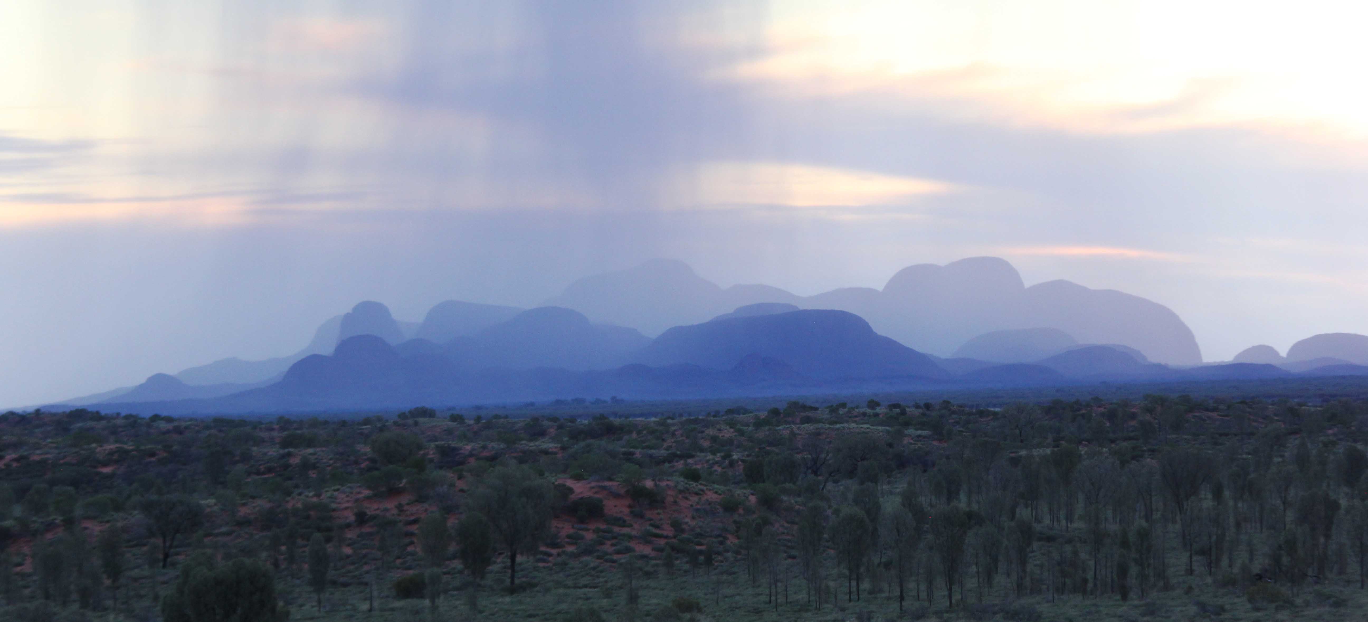
The sun set just as some rain clouds passed, which veiled Kata Tjuta.
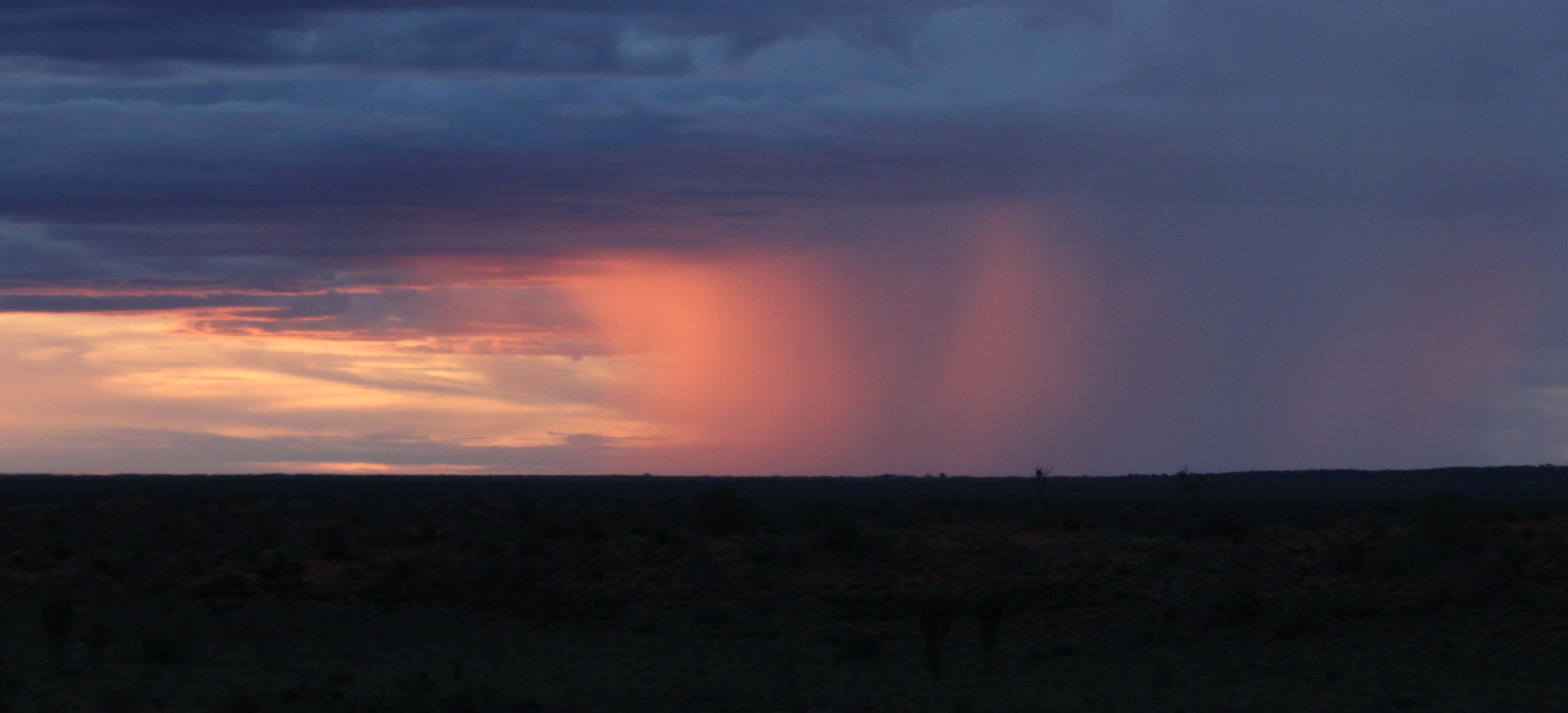
The rain clouds gave a special glow as the sun settled under the rim of the desert floor just to the left of Uluru.
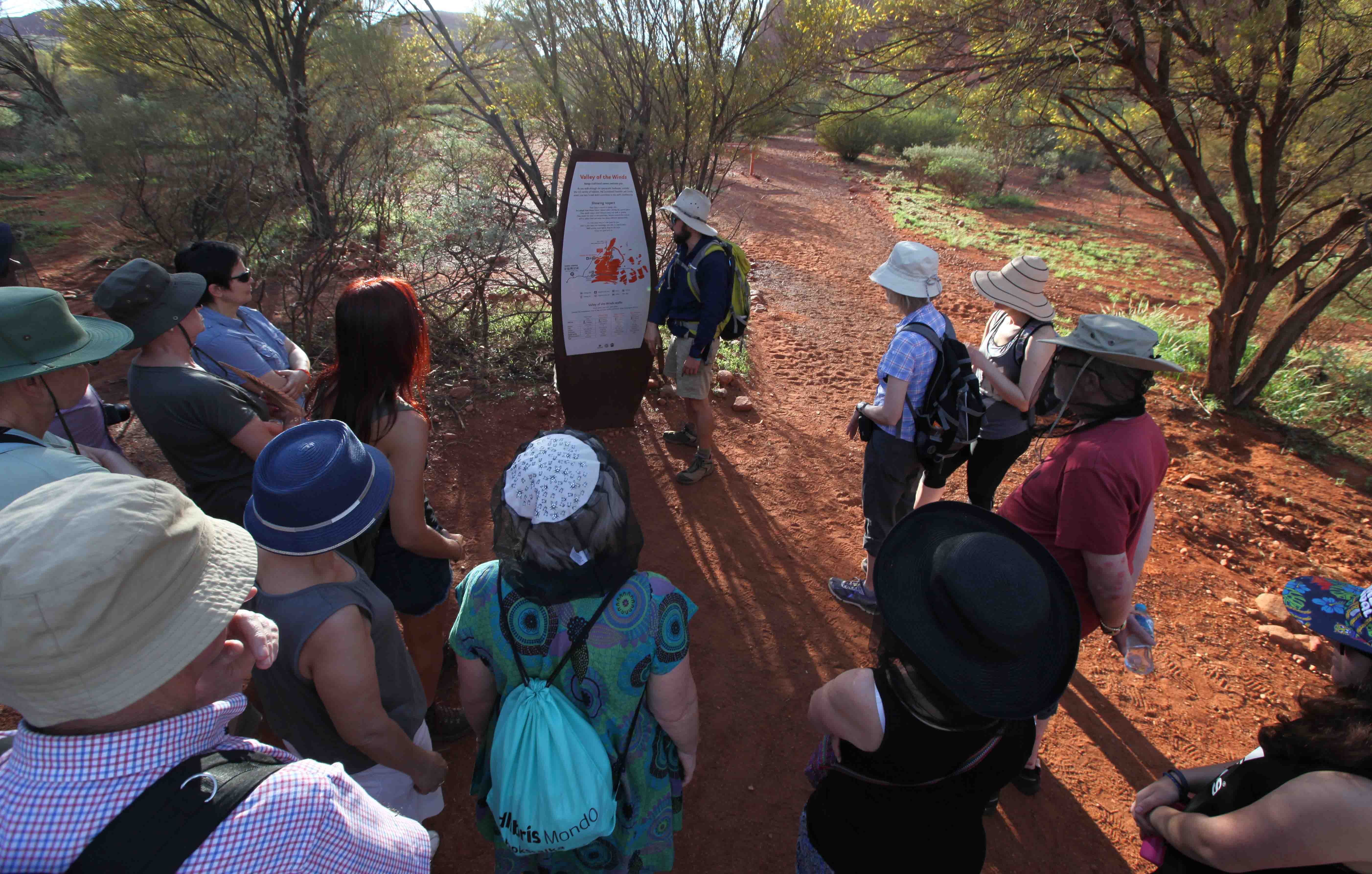
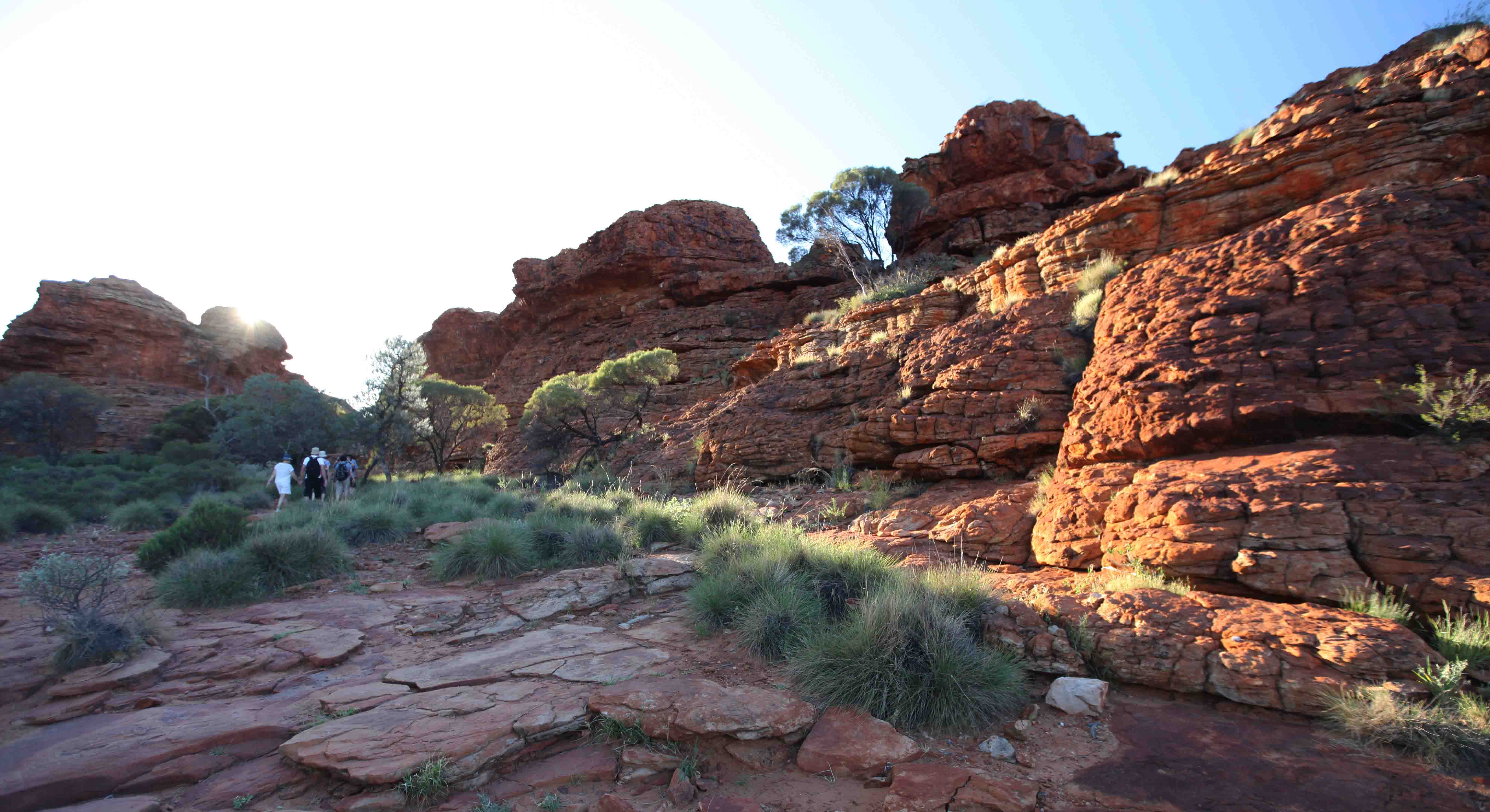
Our guide Adz took us the next day to Kata Tjuta, to walk in the Valley of the Winds.

The path was well marked and easy to follow.
These rocks have a different surface compared with Uluru. No scales.

The rock was instead covered with small boulders and stones.

The rocks were impressive, and some of our group through these formations were even more interesting than Uluru.
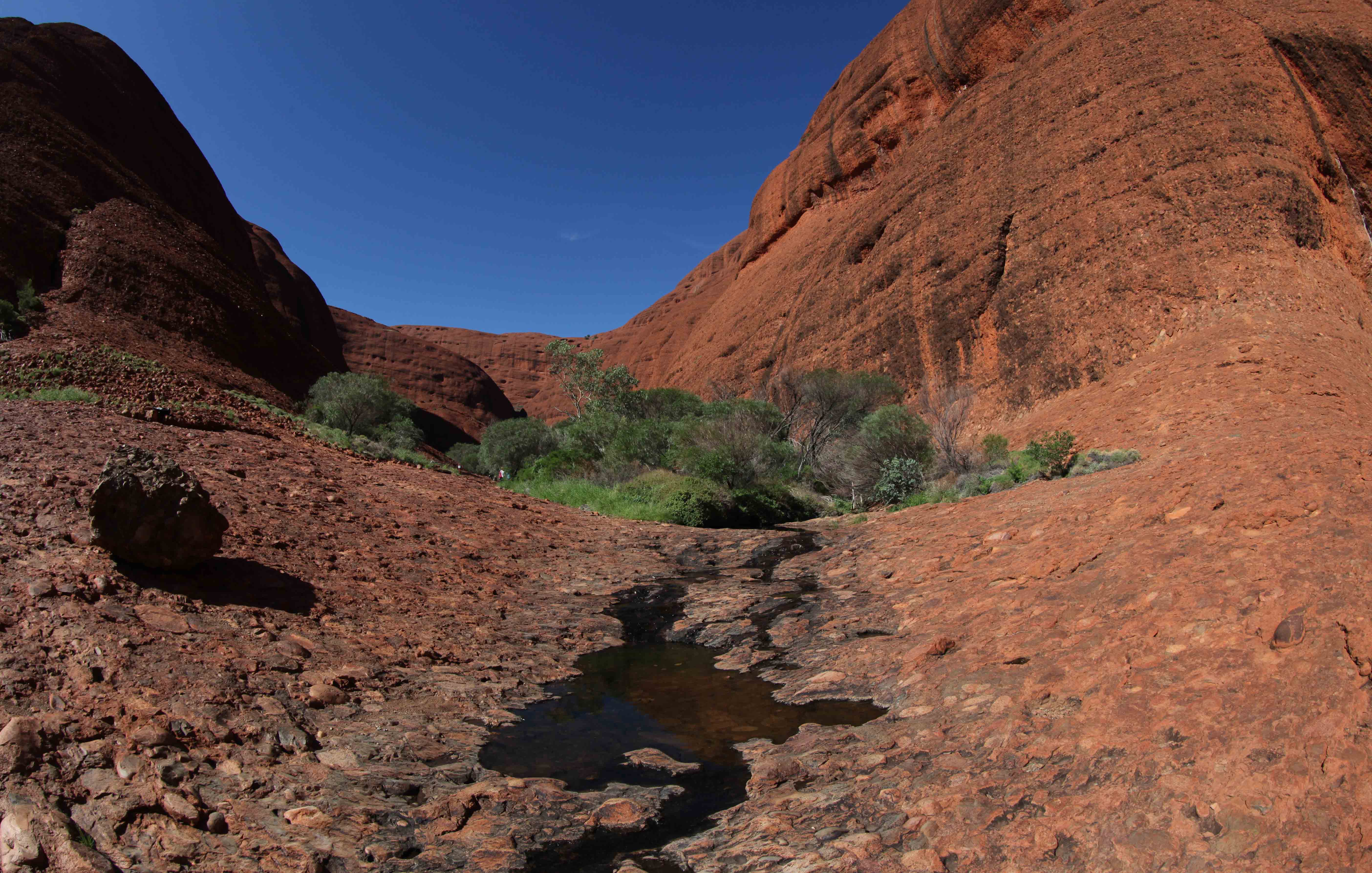
There was a small trickle of water coming from the Valley of the Winds.
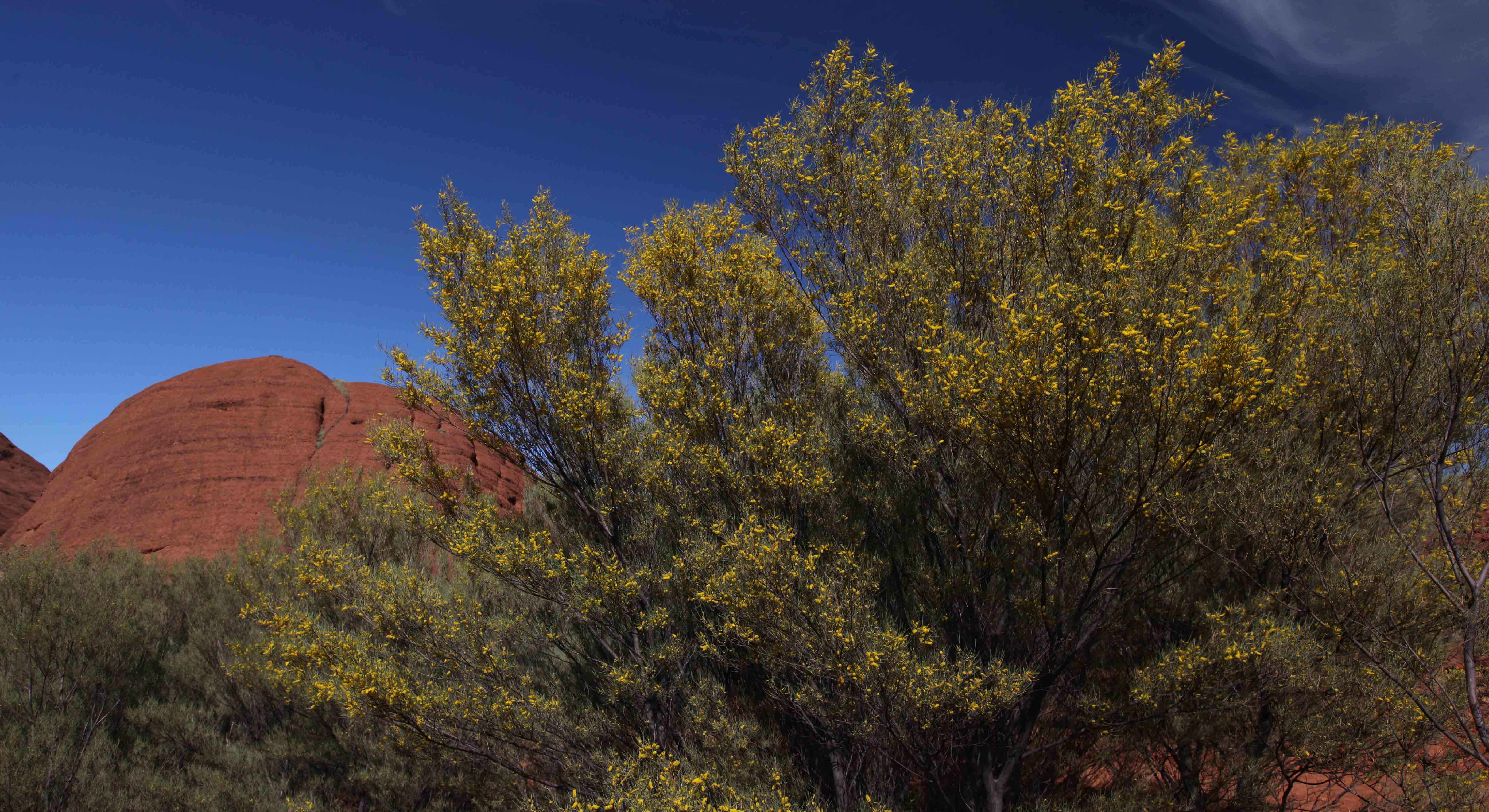
We saw more yellow flowering shrubs. Adz said we were lucky because
there had been a lot of rain, and the trees flower only two weeks per year.
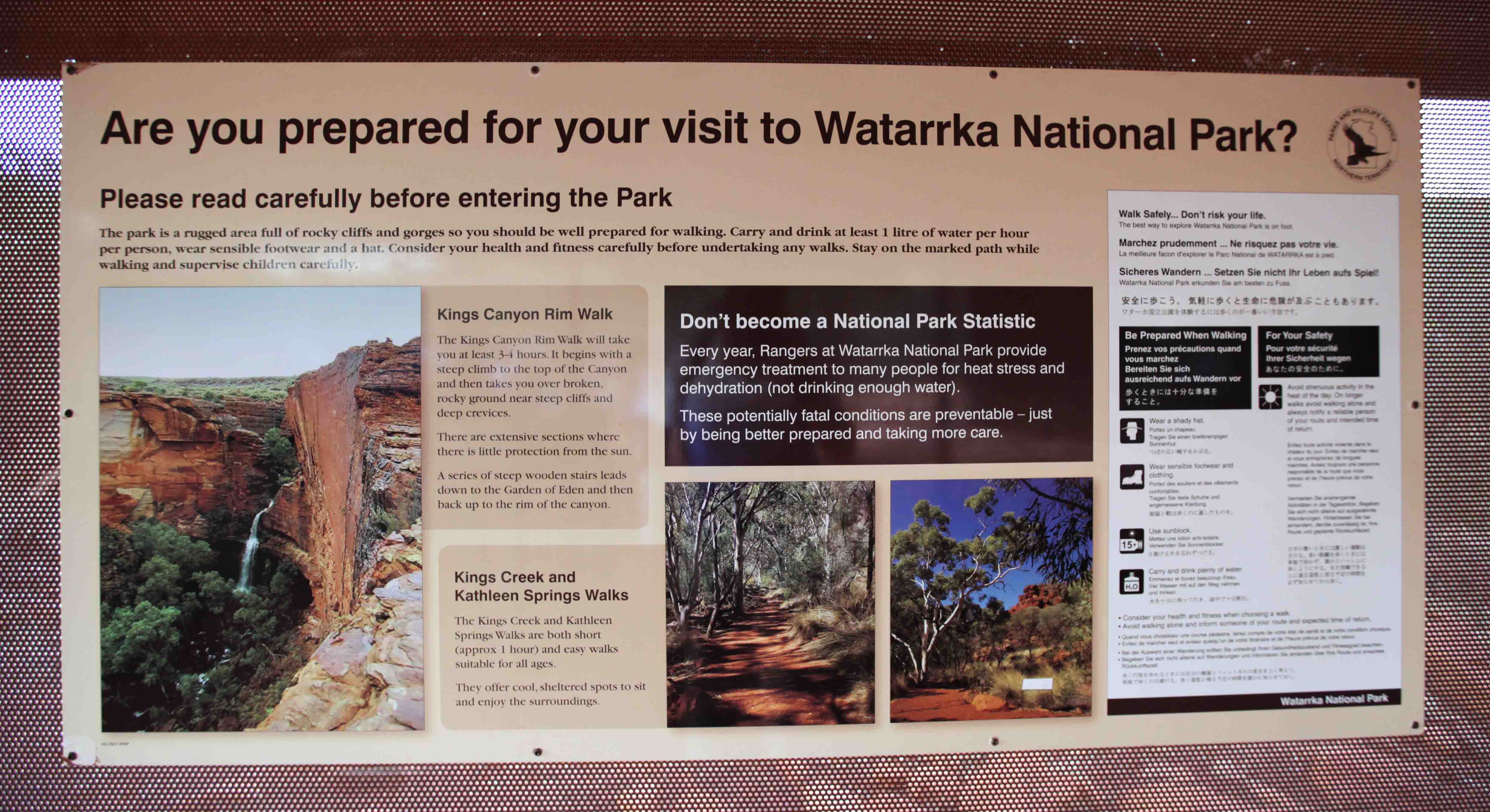
Our final walk, day three, was the Kings Canyon Rim walk. We were met by this sign at the entrance to the park.
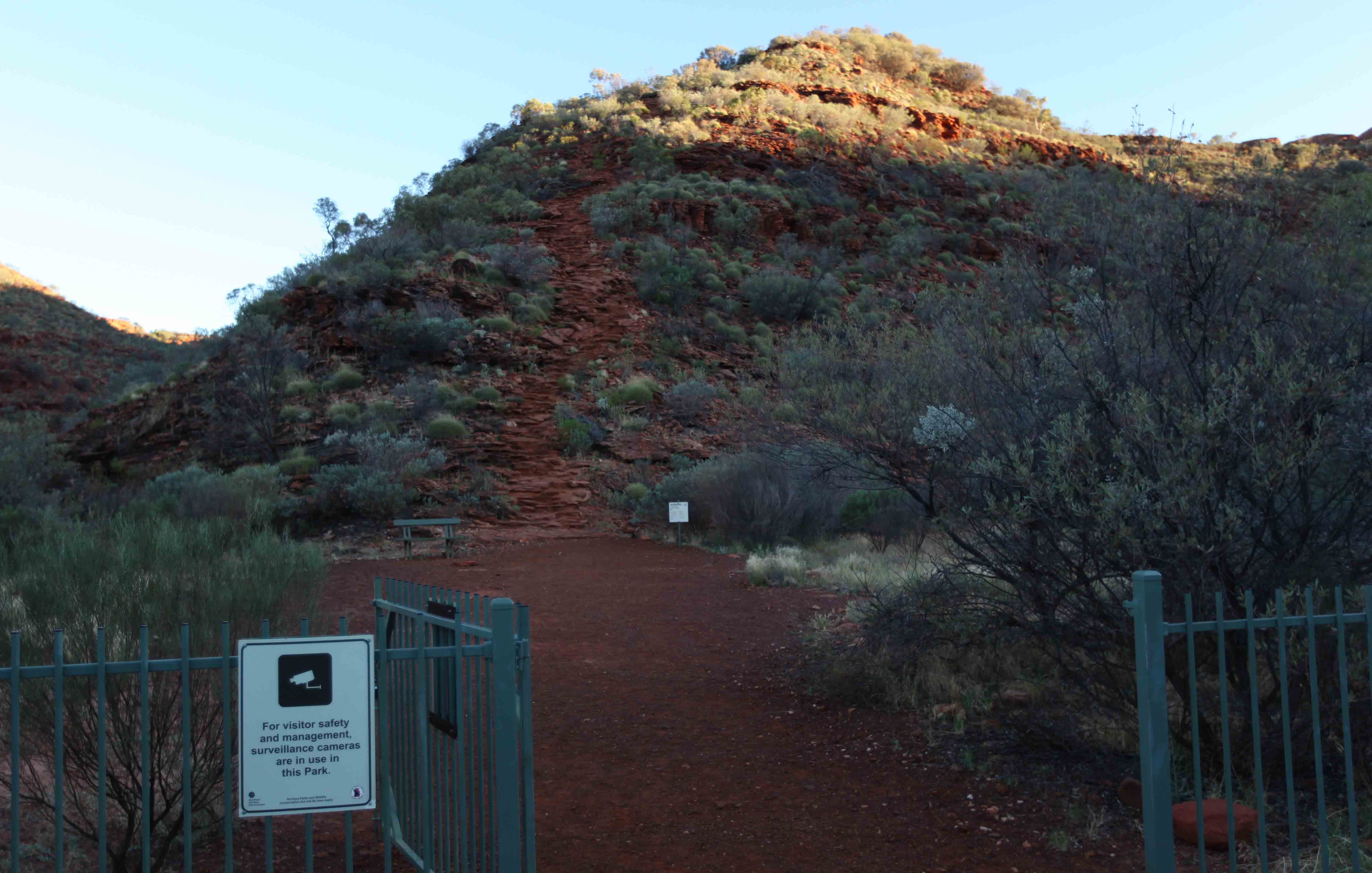
The rim walk takes around three hours, and the beginning is the “killer part” – you just
climb straight up to the top on an rather uneven stone staircase seen in the background, center.
The rocks along the path were very different from any of the previous rock formation we had visited.
The rocks were in layers, each layer representing several million years of evolution.

This white gumbarked coolibah tree has been wrapped in burlap — as protection against tourists.
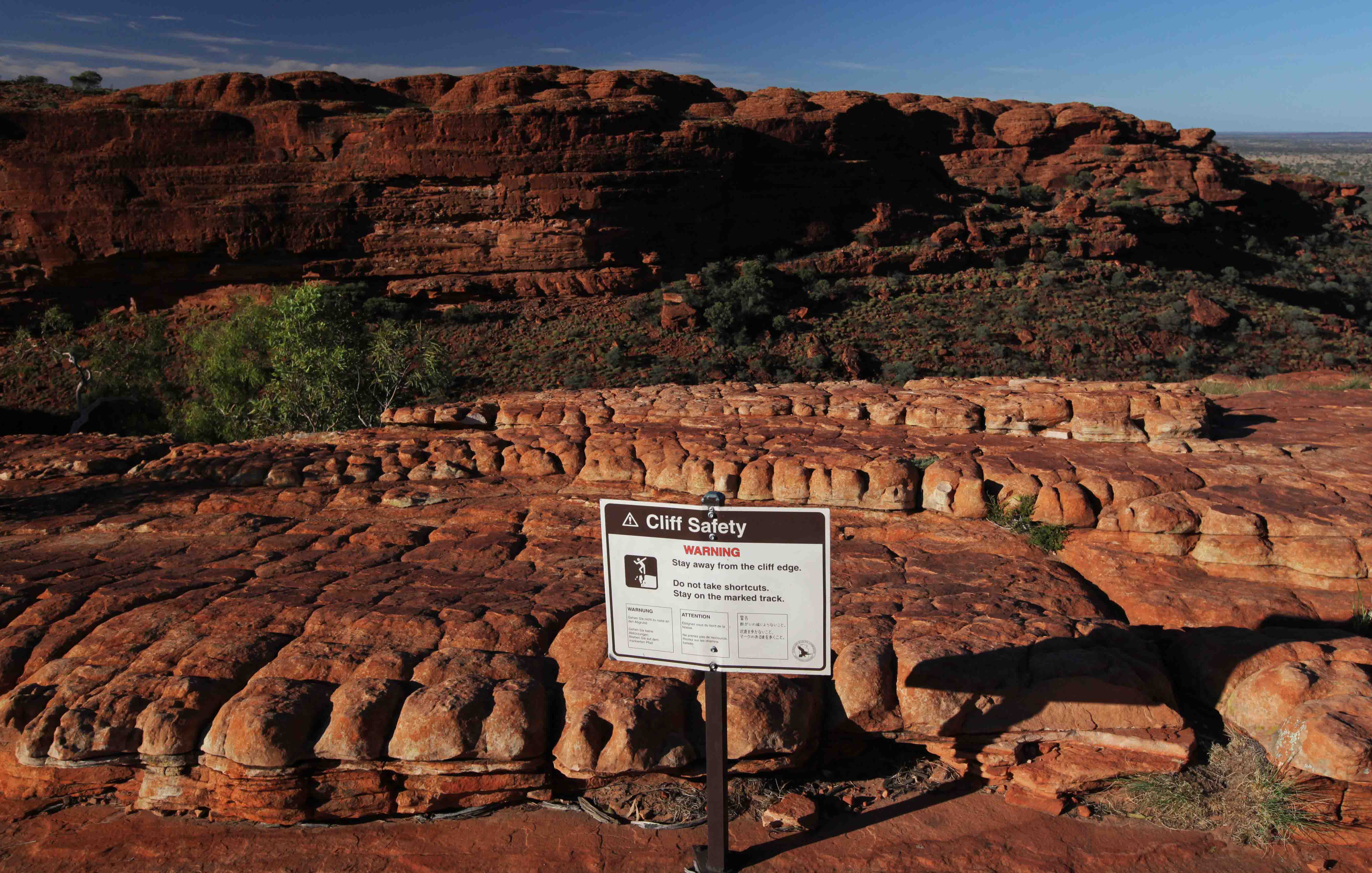
There were safety signs, warning to keep away from cliff edges.

One wonders how the grass can grow at places like these.
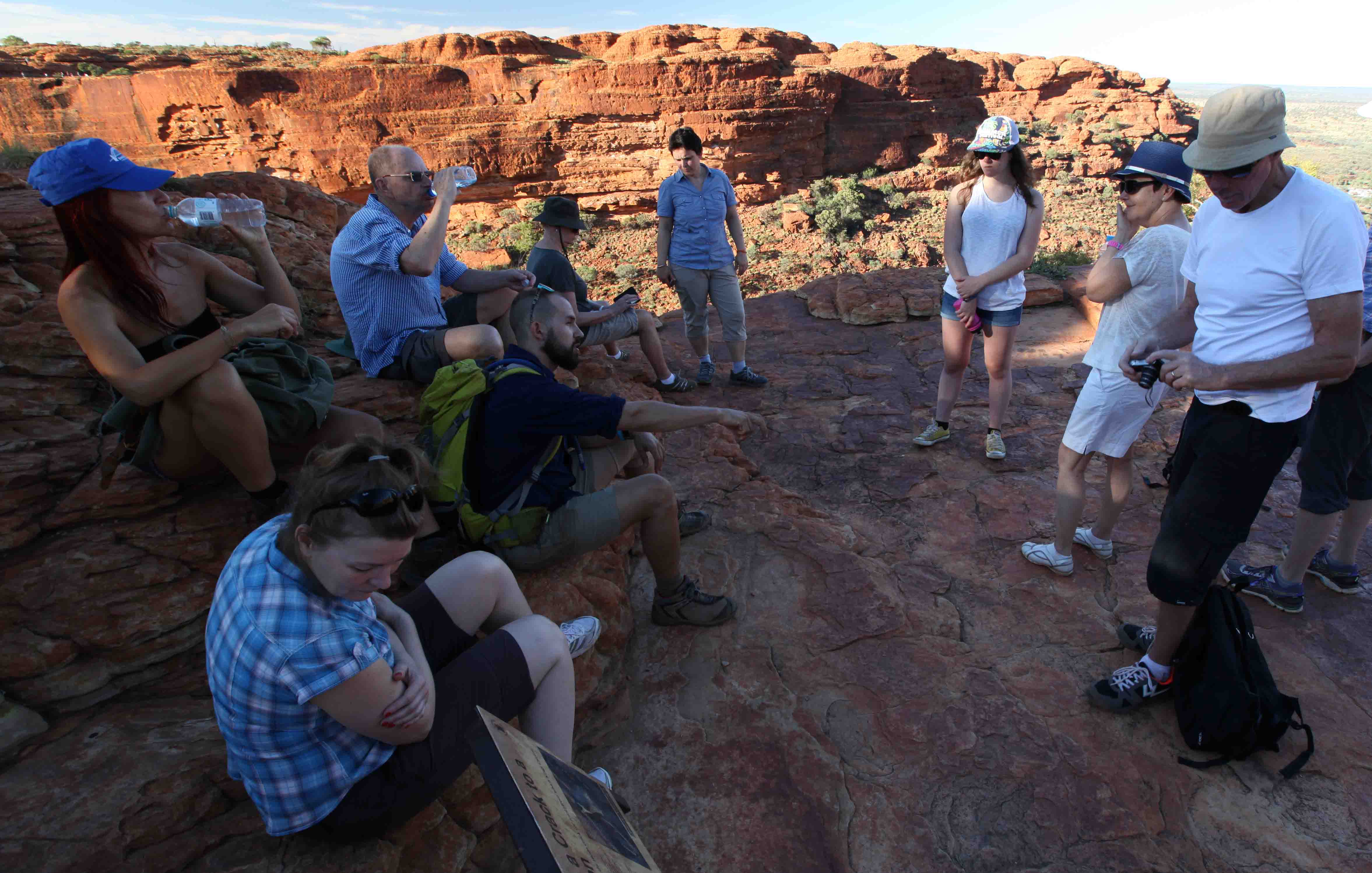
It was recommended to have at least 3 liters of water per person on the walk. It was sweaty in the beginning, and it soon became very hot.

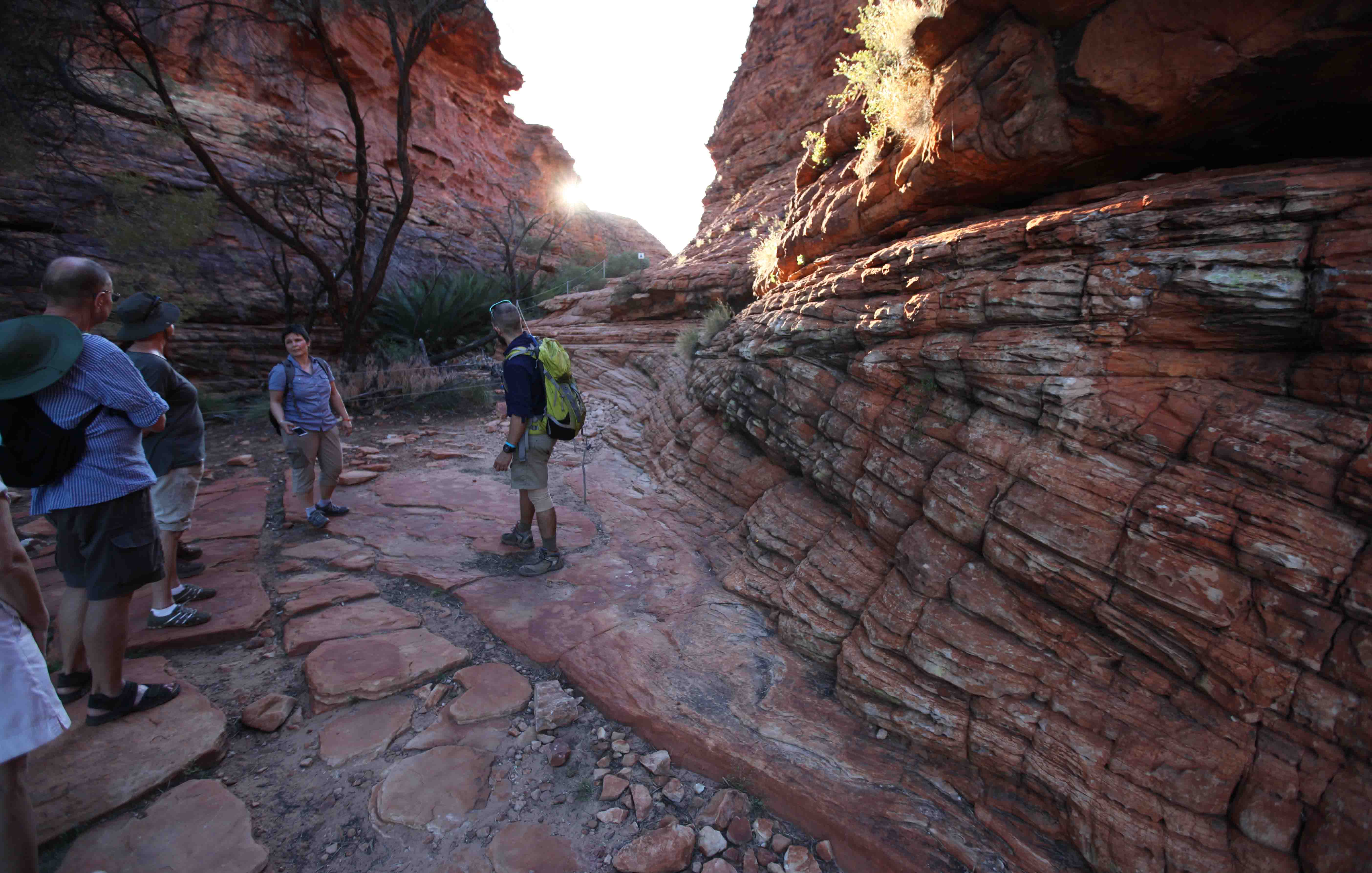
The walk includes climbing down some stairs, crossing a small canyon, and then climbing back up.
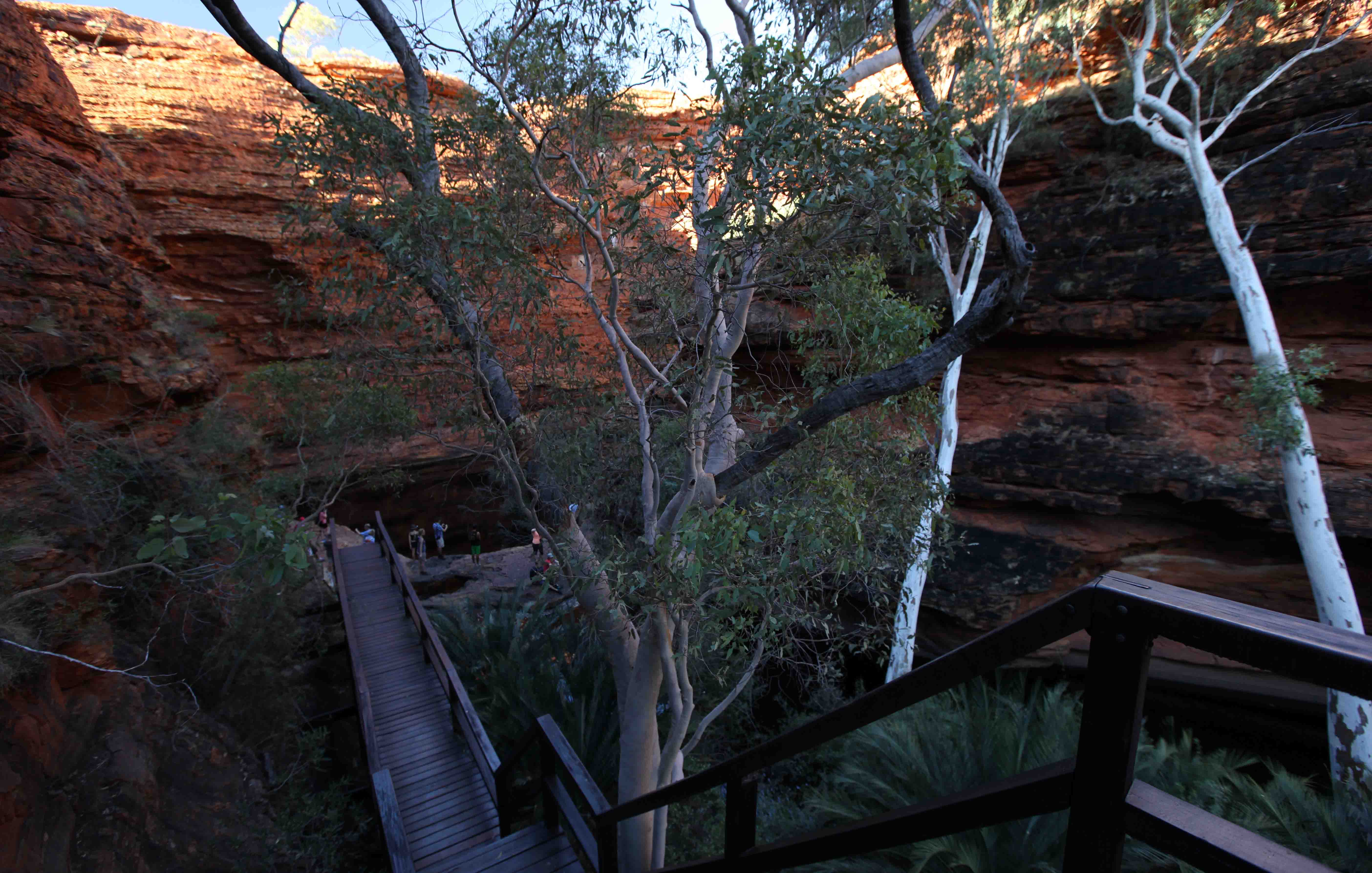
A 20 minute side track led to the Garden of Eden.

Most visitors made the detour to look at the pond filled with clear water.
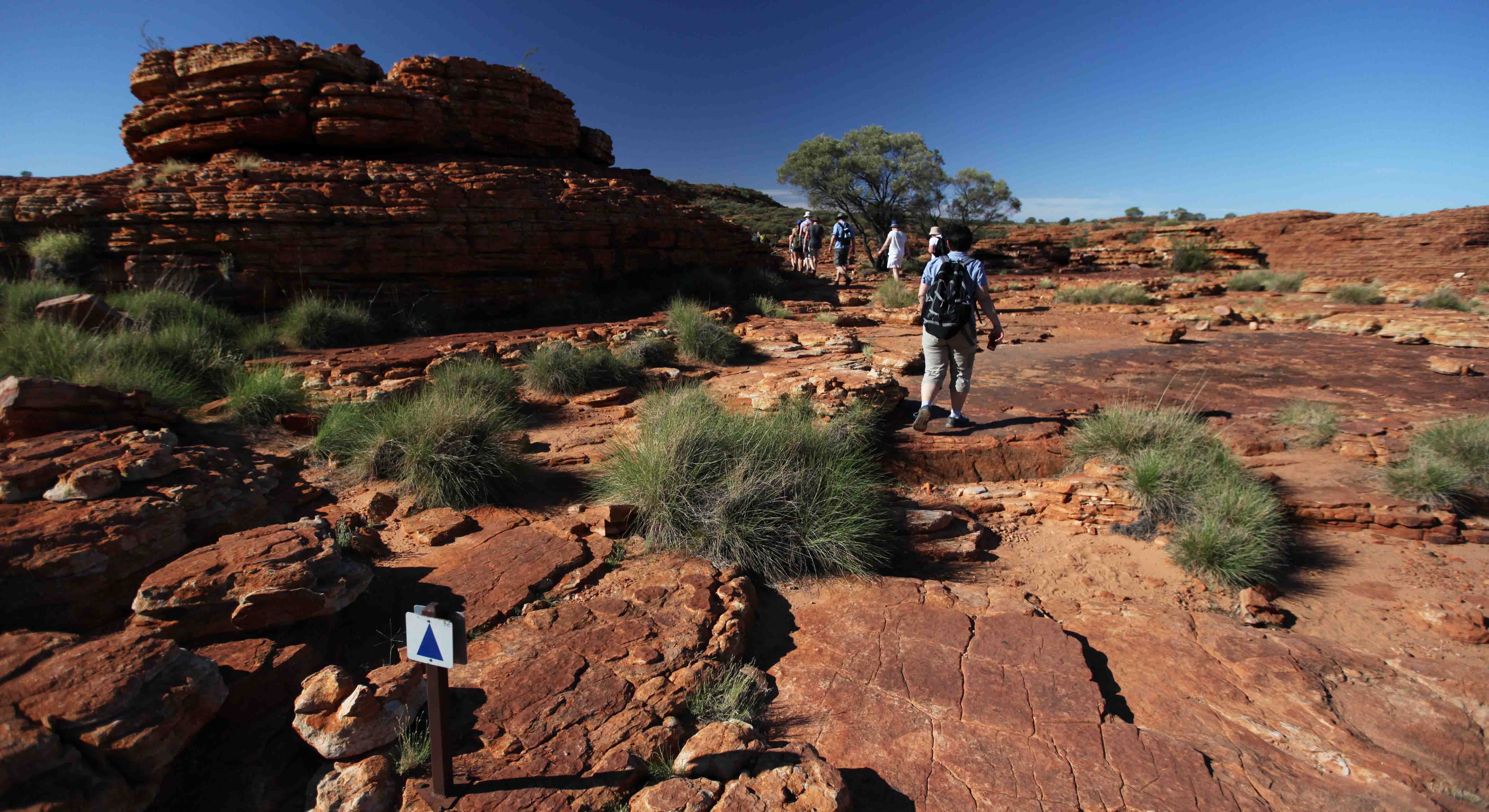
After the climb up from the canyon, the path was easy to walk and well marked.

There were places near the rim that had small ponds. It had rained a lot the week before our visit.

Looking across the canyon with a wide angle lens. There are people standing on top of the small mound in the center of the picture.
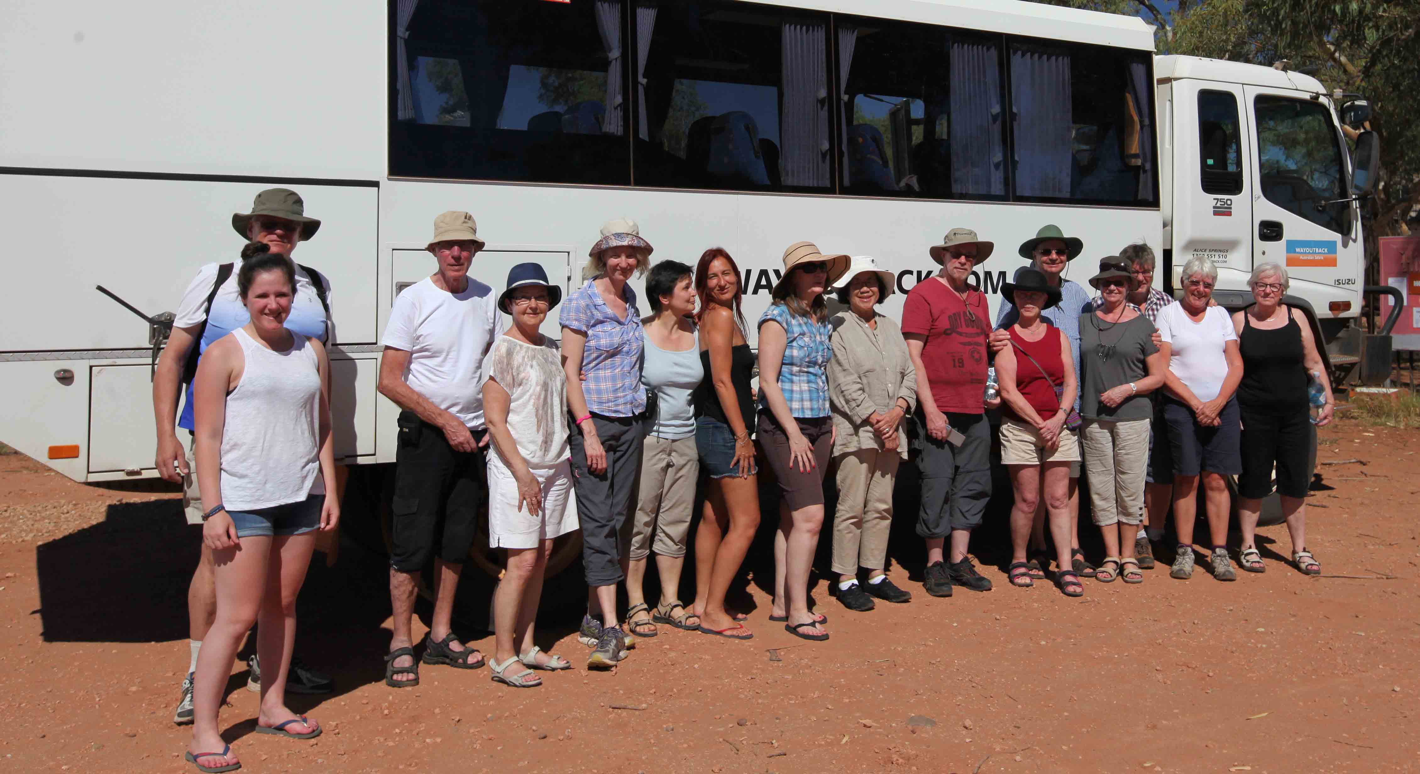
A group photo in front of the bus, at the end of the trip. Adz is holding the camera.