Chateau de Peyrepertuse

The ruins of Peyrepertuse Fortress are 800 m high on a hill in the eastern Pyrenees, near Duilhac Village. The path from the
entrance to the ruins is well marked and gradual, not as difficult as it may seem when one looks at the vertical rock walls.
No need to crawl on hands and knees. The wind is the worst, but inside the ruins, from the church to the upper fortress, the
wind is not as strong, so do not give up. Bring warm clothes and be prepared for strong wind. This is known as a Cathar
Castle but was never attacked by Crusaders http://www.catharcastles.info/peyrepertuse.php?key=peyrepertuse.
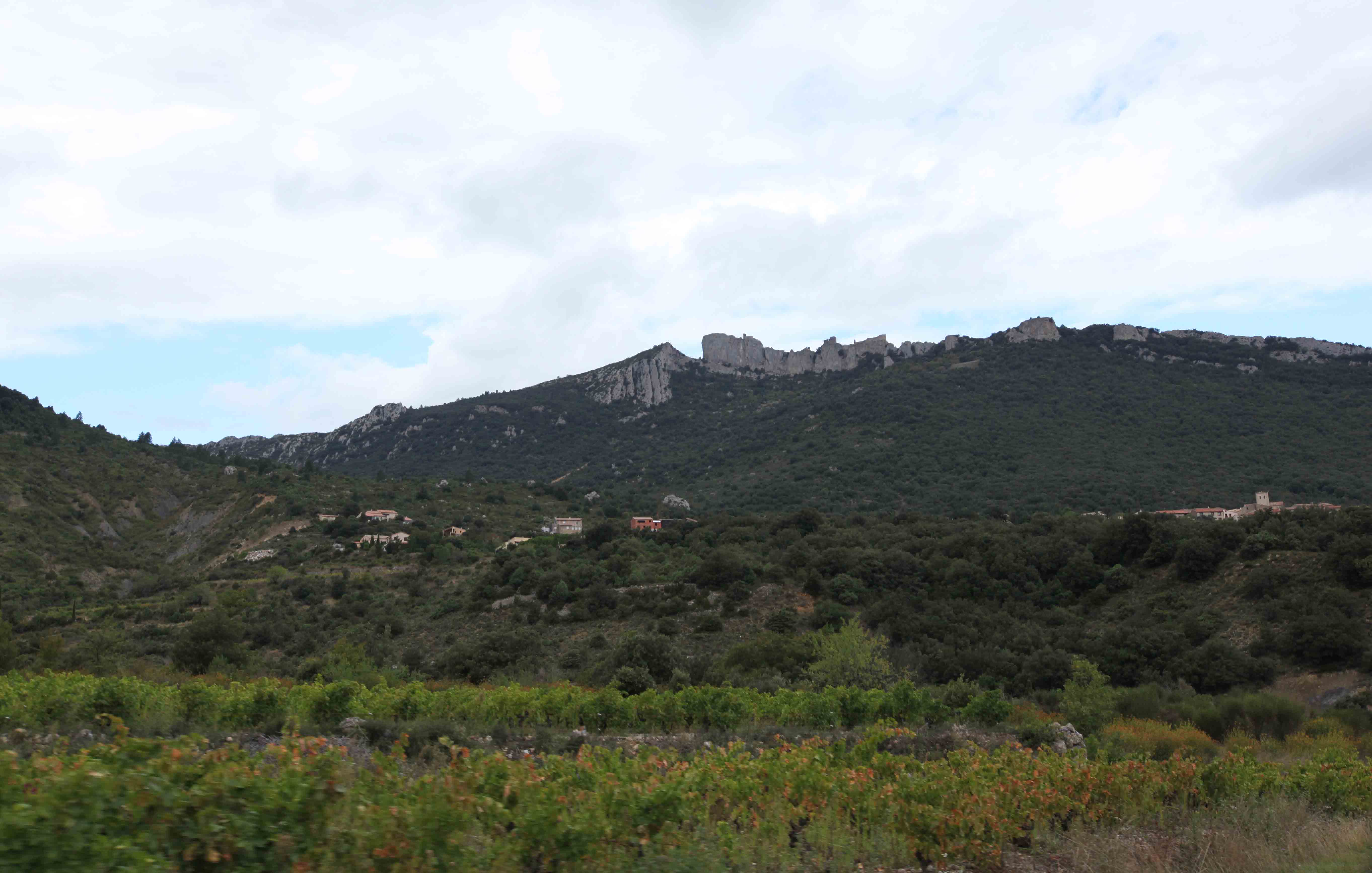
The fortress is difficult to see, as it was built to melt into the rocks.


The entrance to the fortress is a short walk from the parking lot.

View from the path that leads to the fortress.

The path can be a bit difficult but there are steps.

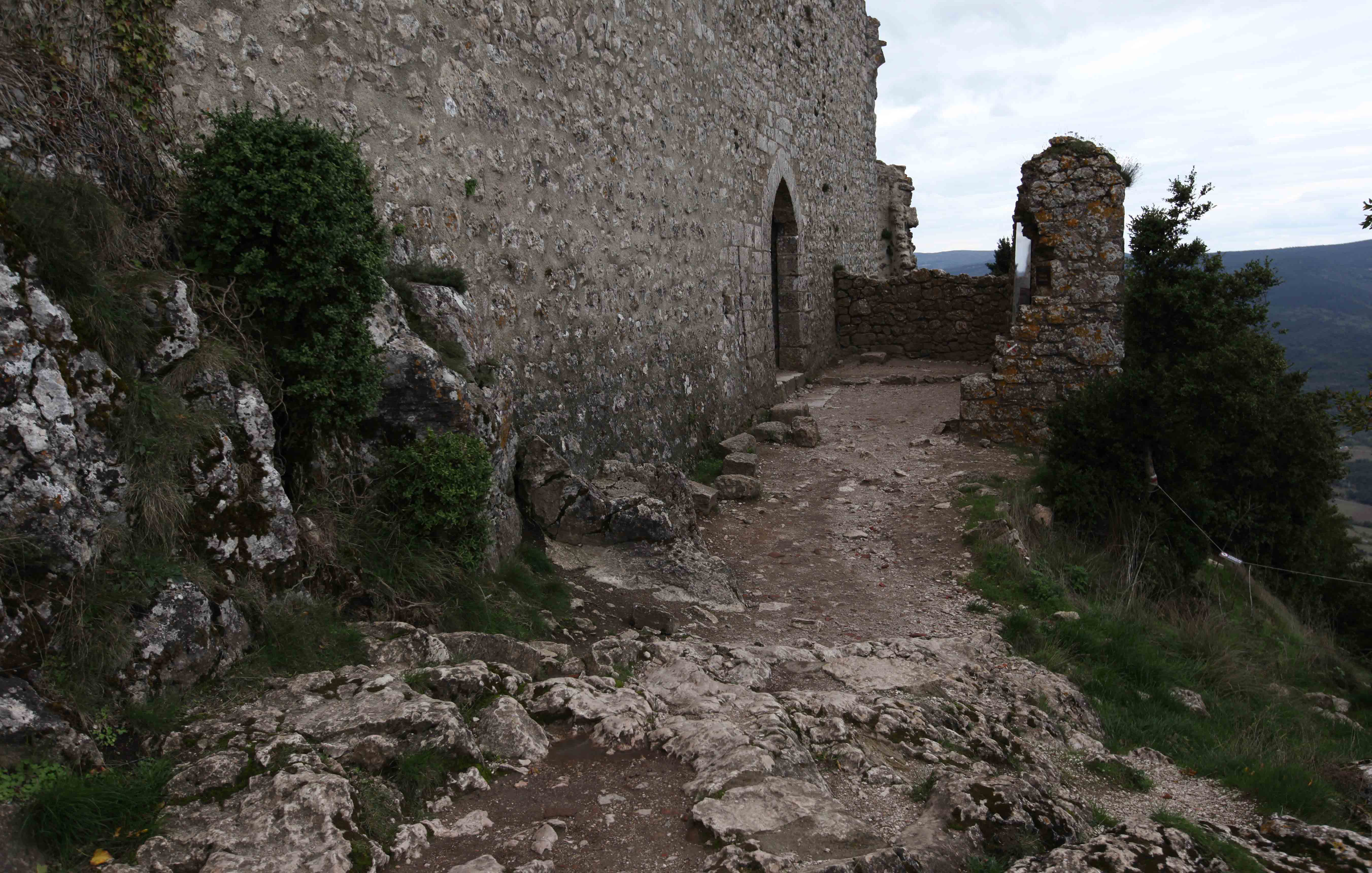
The entrance into the fortress.
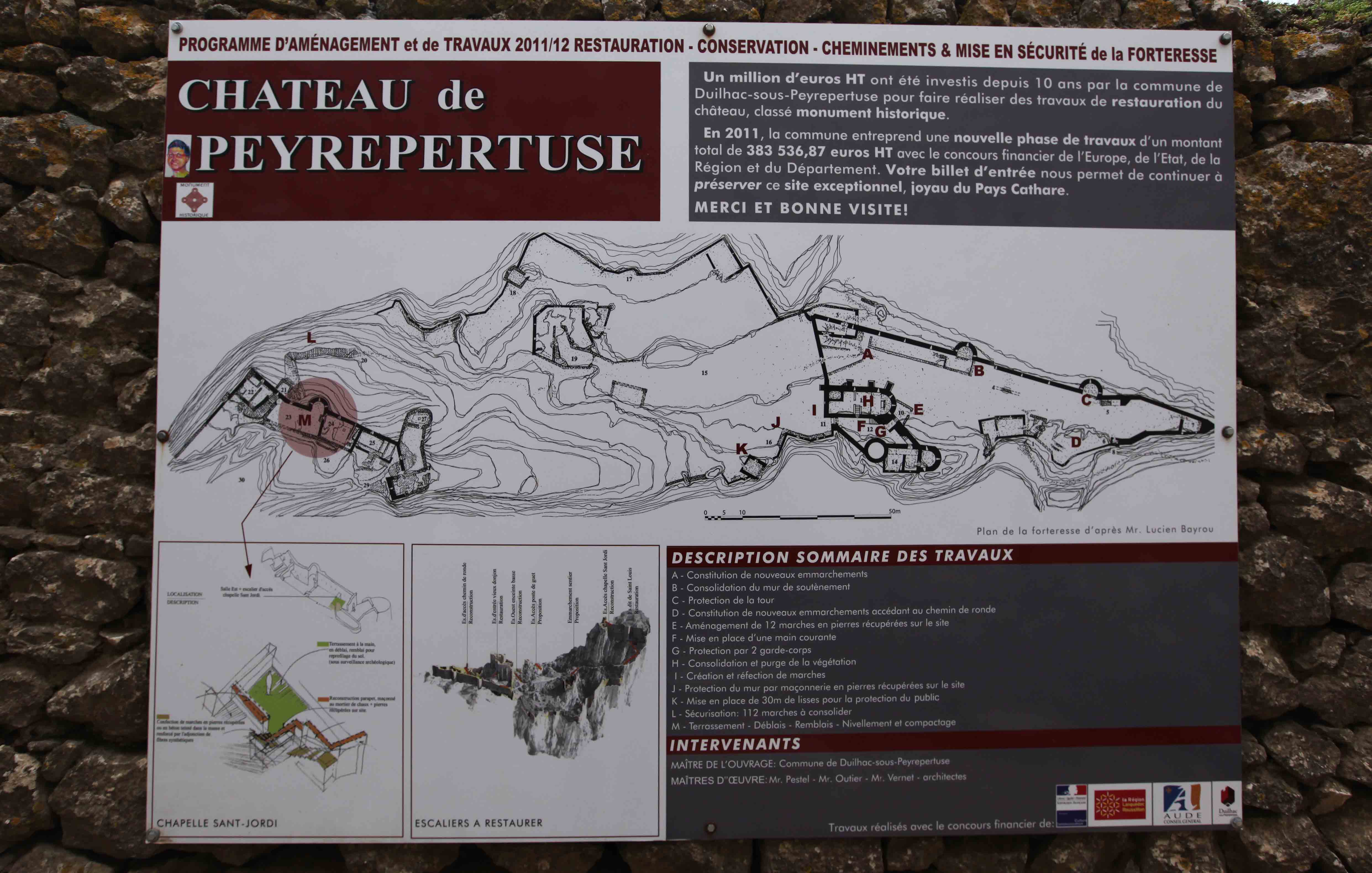
There is a map of the fortress by the entrance gate. It may be a bit confusing as the map is upside down.
The entrance is placed at the upper right hand side of the drawing, marked nr 3, just above the letter “A”.

Henry using his tablet to take a picture of Ted and Annette, at about mark “C” on the map.
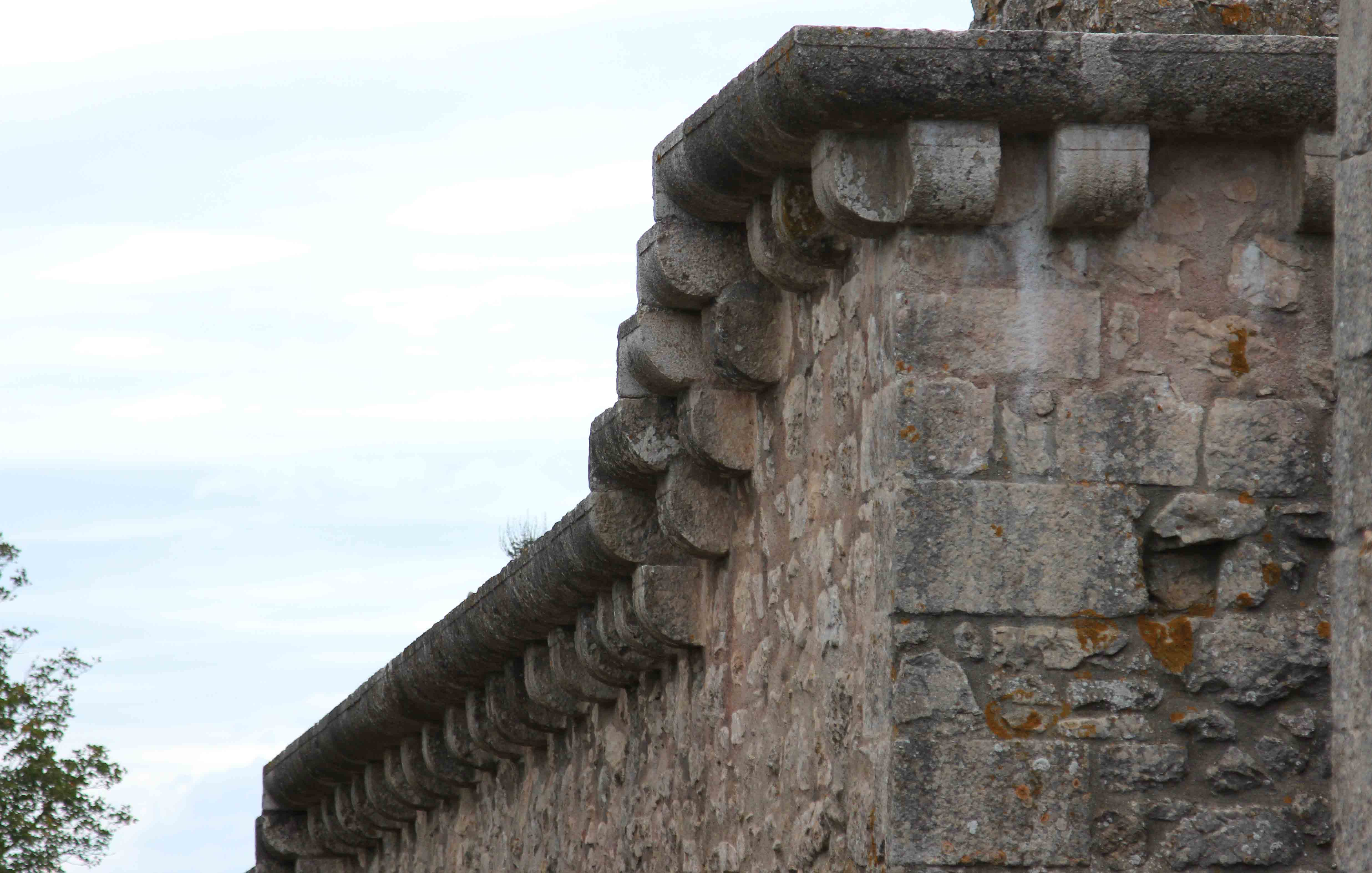
Detail of the wall which can be seen on both the lower and upper parts of the fortress walls.

The interior of the lower part of the fortress, showing parts “F” and “G” on the map.
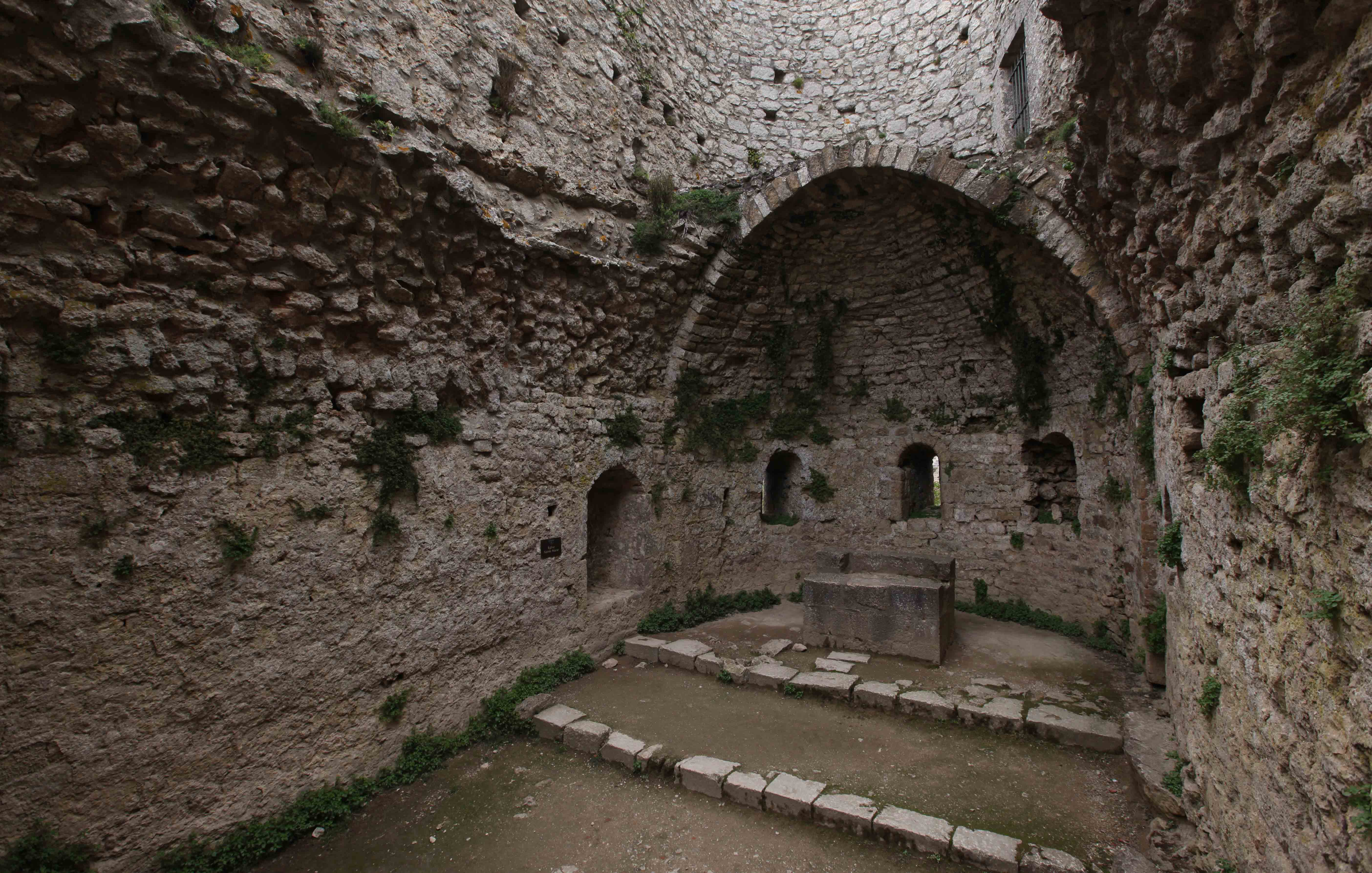
The church on the lower part of the fortress.

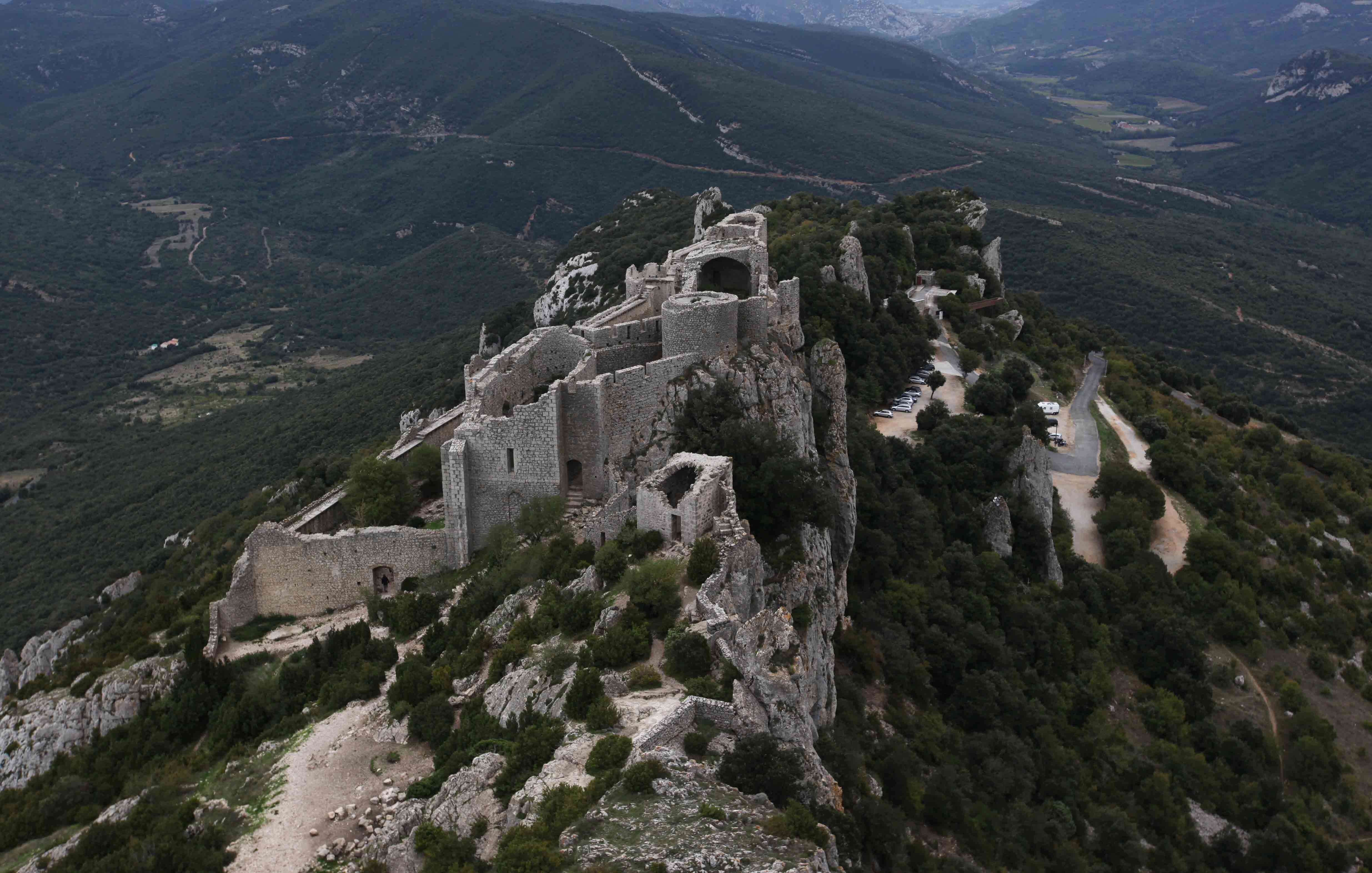
The view from the lower part of the fortress. There is a second Cathar fortress on the mountain to the left.
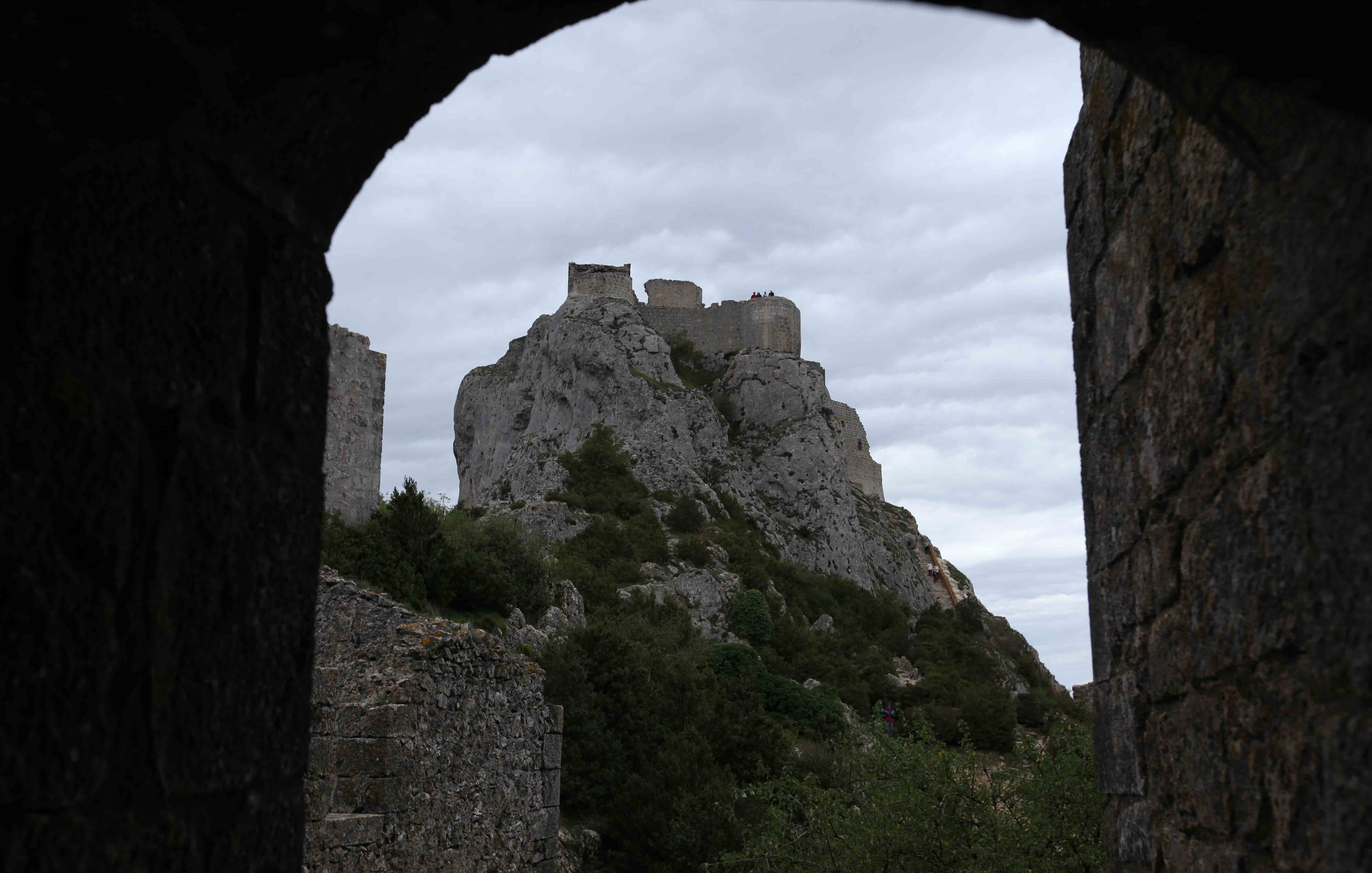
View towards the upper part of the fortress.

View of the lower part of the fortress.

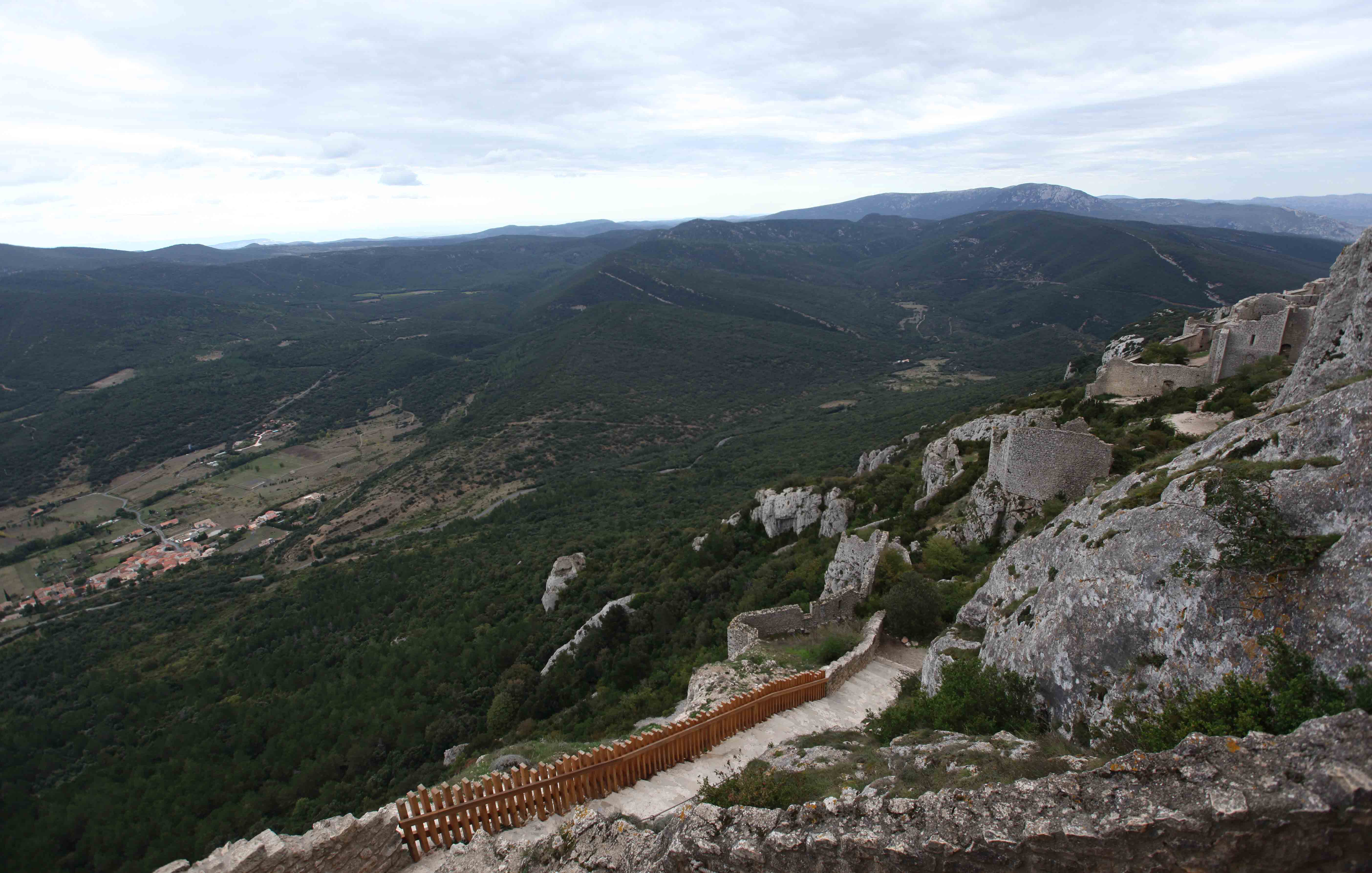
The path leading to the upper part of the fortress.

The stair to the upper part has 120 steps.

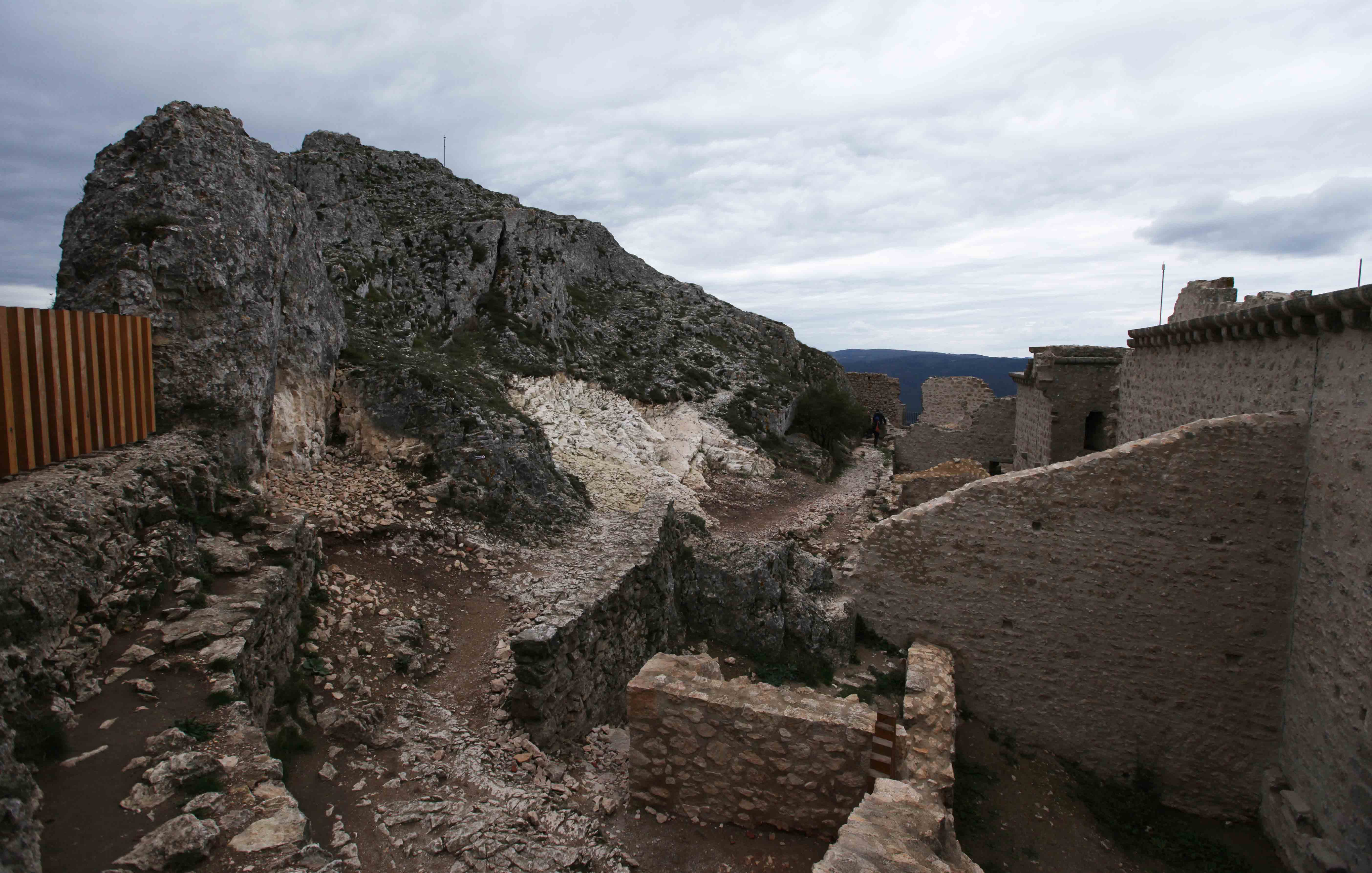
The upper part of the fortress
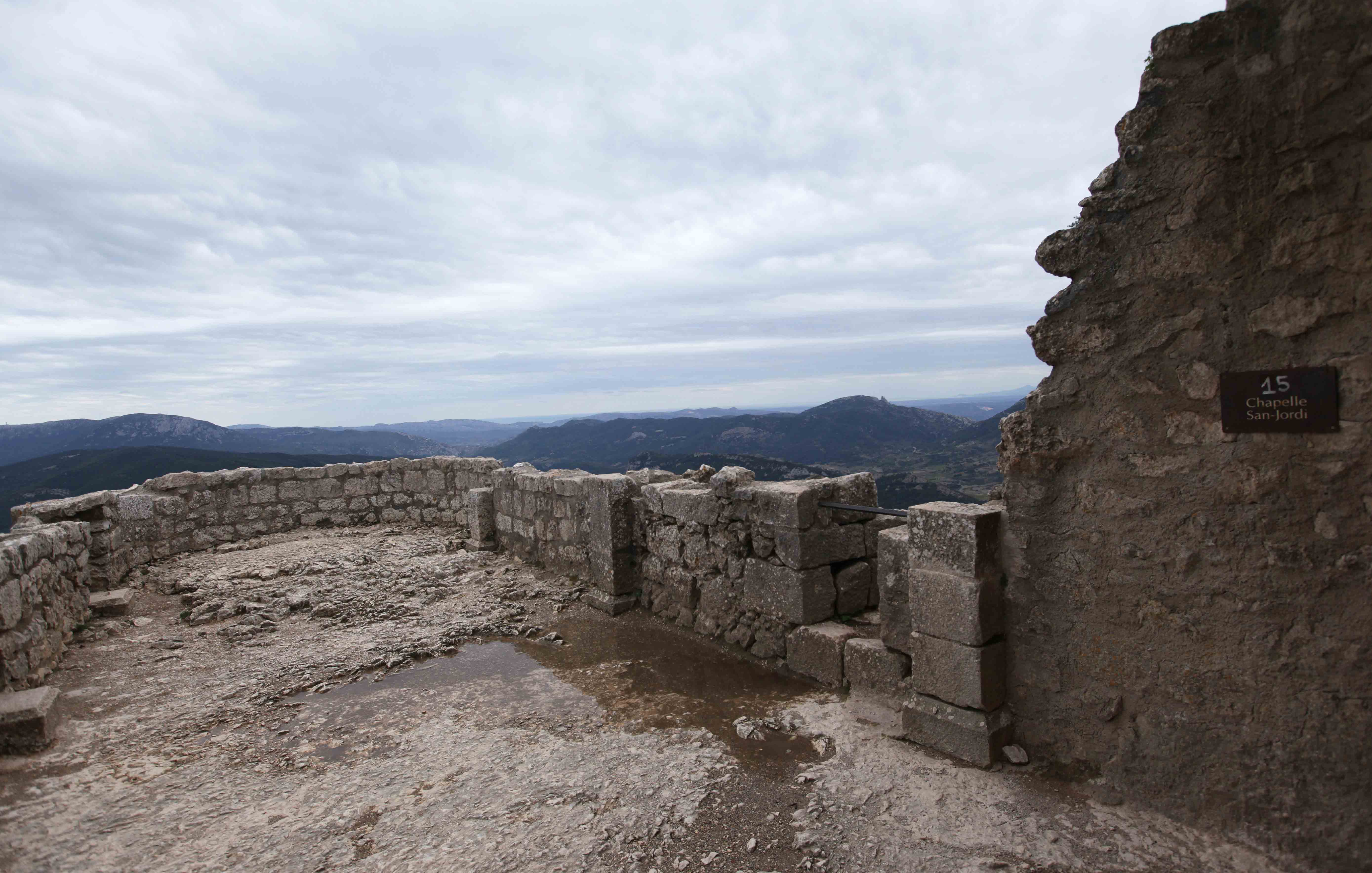
The chapel of the upper part of the fortress.
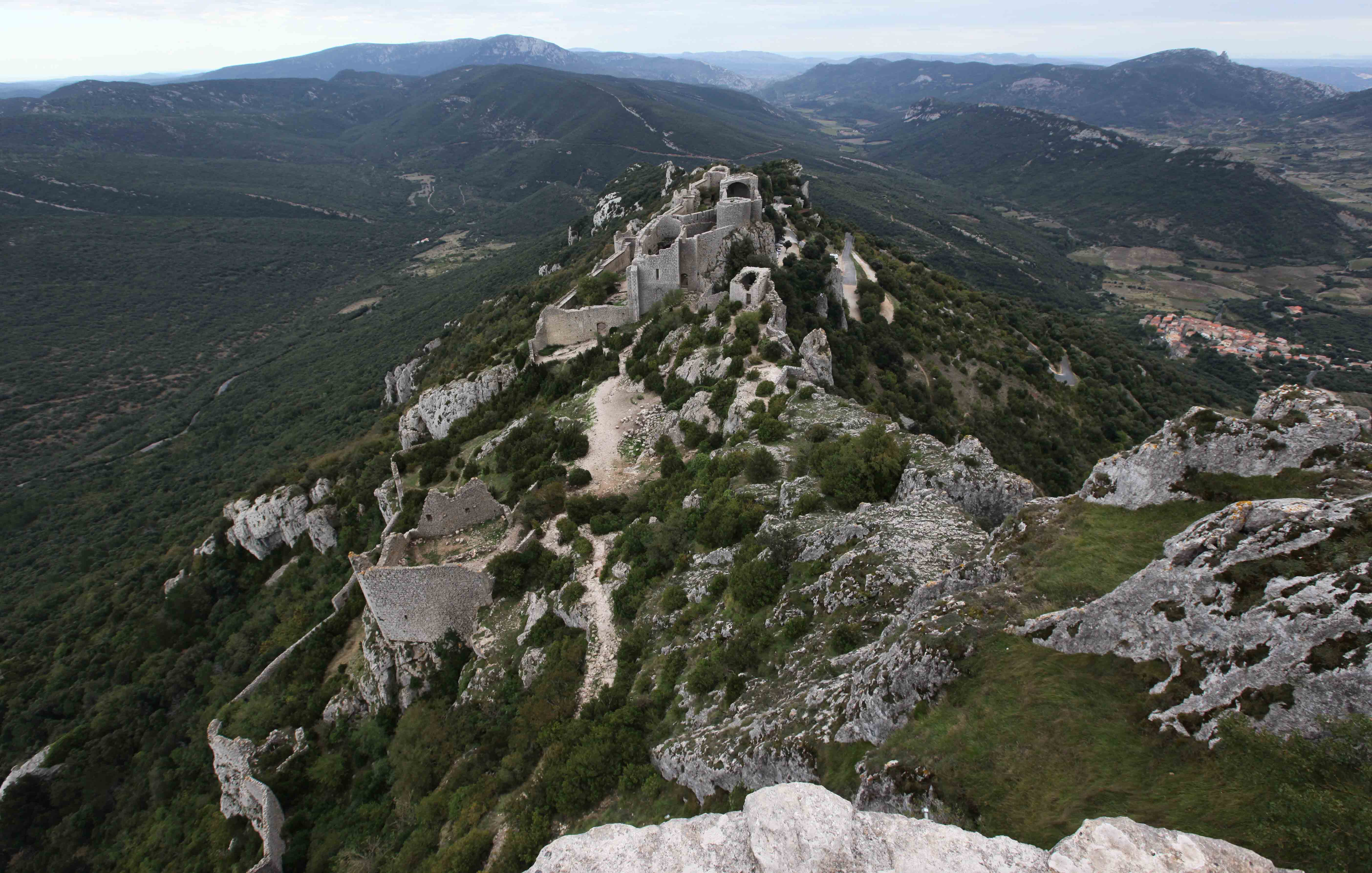
The view from the upper part of the fortress.

Water color rendering of the lower part of the fortress.
