Ka’ena Point
On January 31, 2015, we visited Ka’ena Point for a sunrise photo walk with the Oahu Photography Group, led by Chris Rose.
It is the westernmost point of Oahu, well known for the rugged coast, high waves and the natural reserve area at the tip.
The walk started from the south side. We made a second trip a week later from the north, and added more pictures on Feb 12.

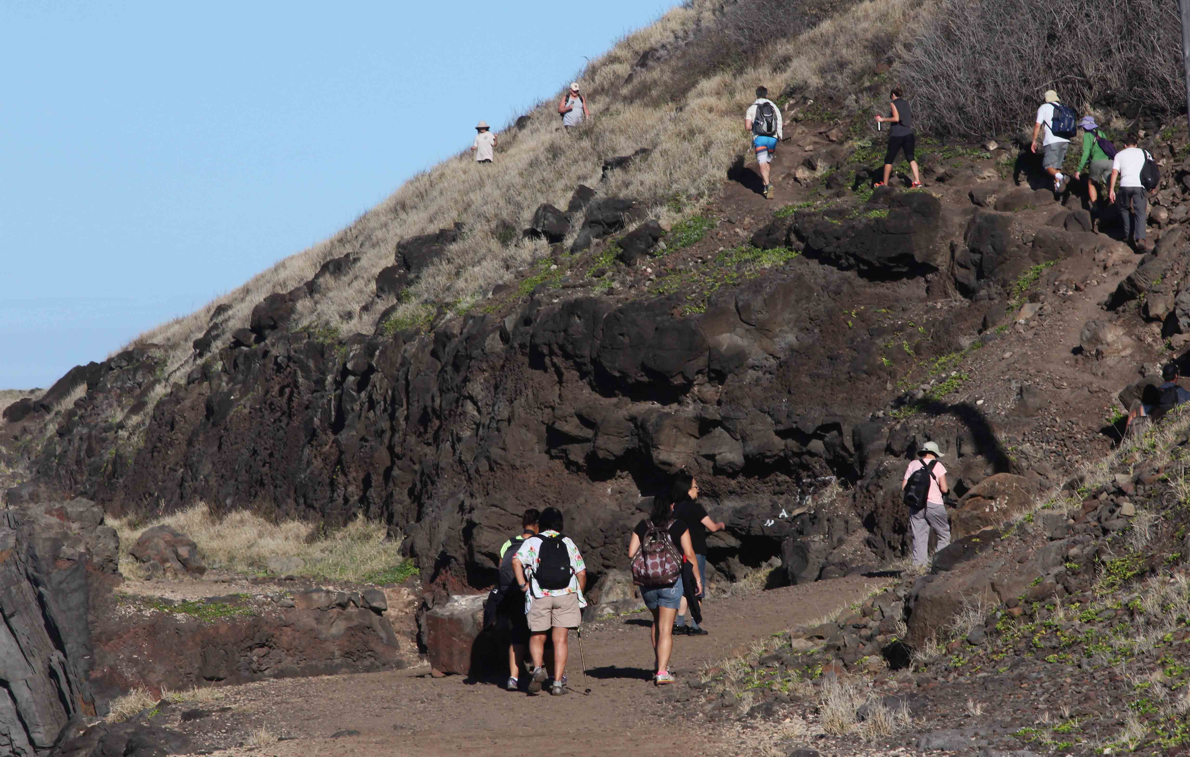
On the south side, there is a 2,5 mile long walk along the coast, starting at the parking lot of Kaena State Park. Farrington Highway ends
at the park and there are restrooms near the beginning of the trail. The coast is well known for very high waves. Makaha and Waianae on
the south shore have well known surfing beaches, but there are no surfers along the Ka’ena Point coast during the winter due to strong
undertows, rip currents and no lifeguards. There is very good snorkling during the summer or when the water is calm. The path continues
around the point, going further inland on the north. Farrington Highway continues past Dillingham Airfield to the North Shore.

Red warning flags at the beginning of the trail are to be taken seriously.

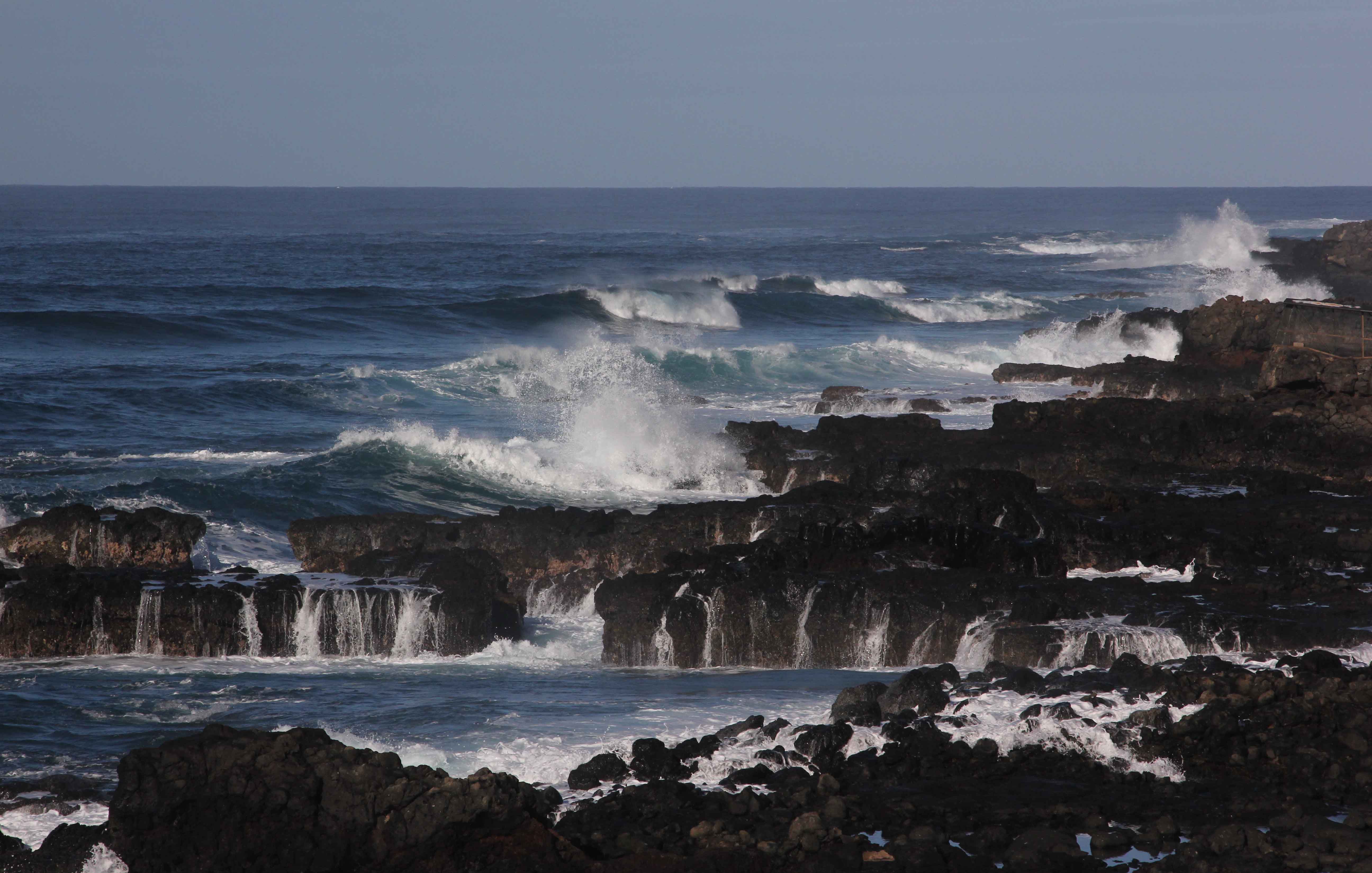
This wave says it all, probably around 50 feet tall, if you compare with the people to the left. The rest room building, with a red roof, can be seen left of the wave.
In the background, to the right, is the public beach where some people surf. Several persons have reported seeing waves with 60 – 80 foot faces at Ka’ena Point.

The trail follows an old railroad built in 1899 by Oahu Railway and Land Company to transport sugar cane. It was destroyed in 1946
by a tsunami, but the railroad track can still be seen in some places. Most of the trail looks like the track seen on the right.
About one third of the way to the point, looking back. January 2017.
There are only a few places where the tracks have disappeared altogether. This is about two thirds of the distance to the point.

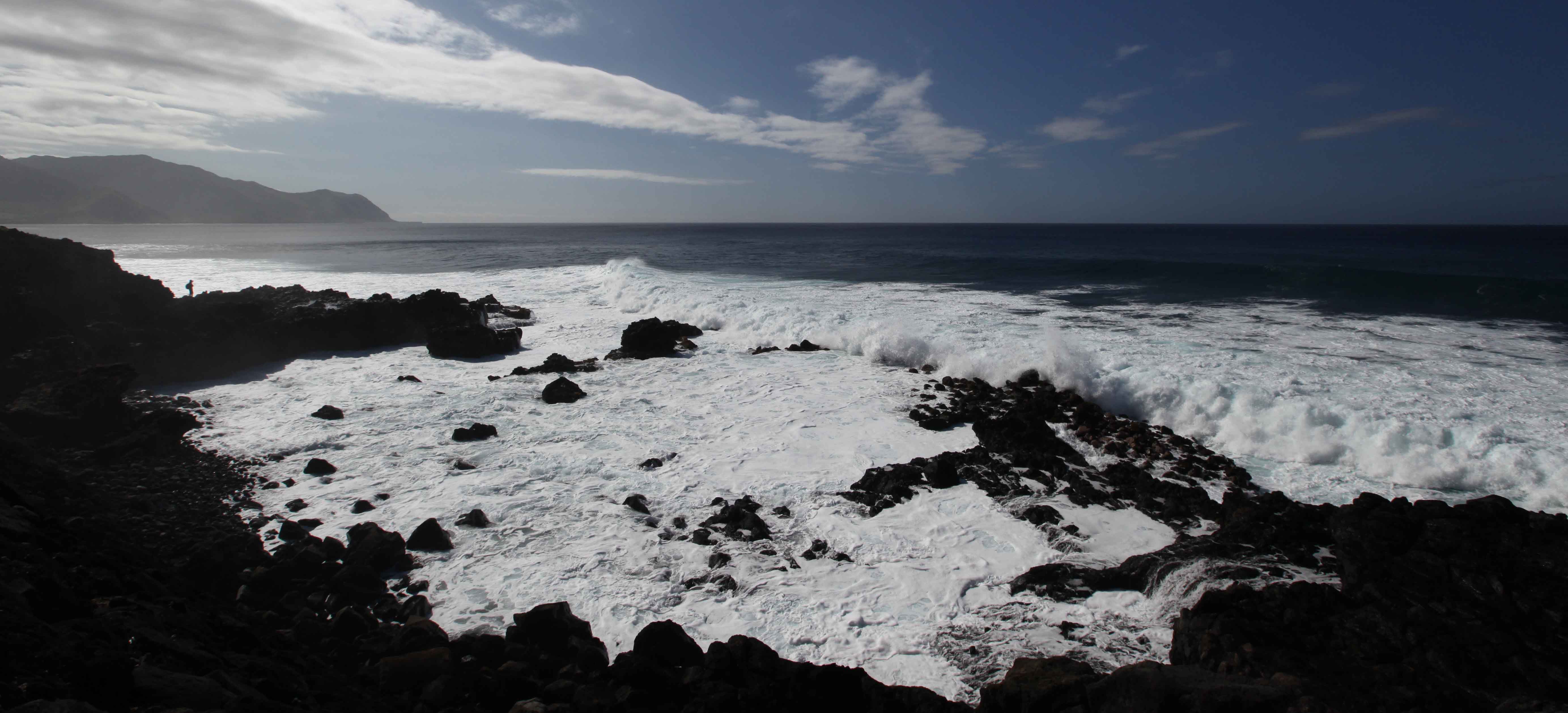
View towards southeast (from the point).

It is possible to drive almost halfway to the point with four wheel drive vehicles.

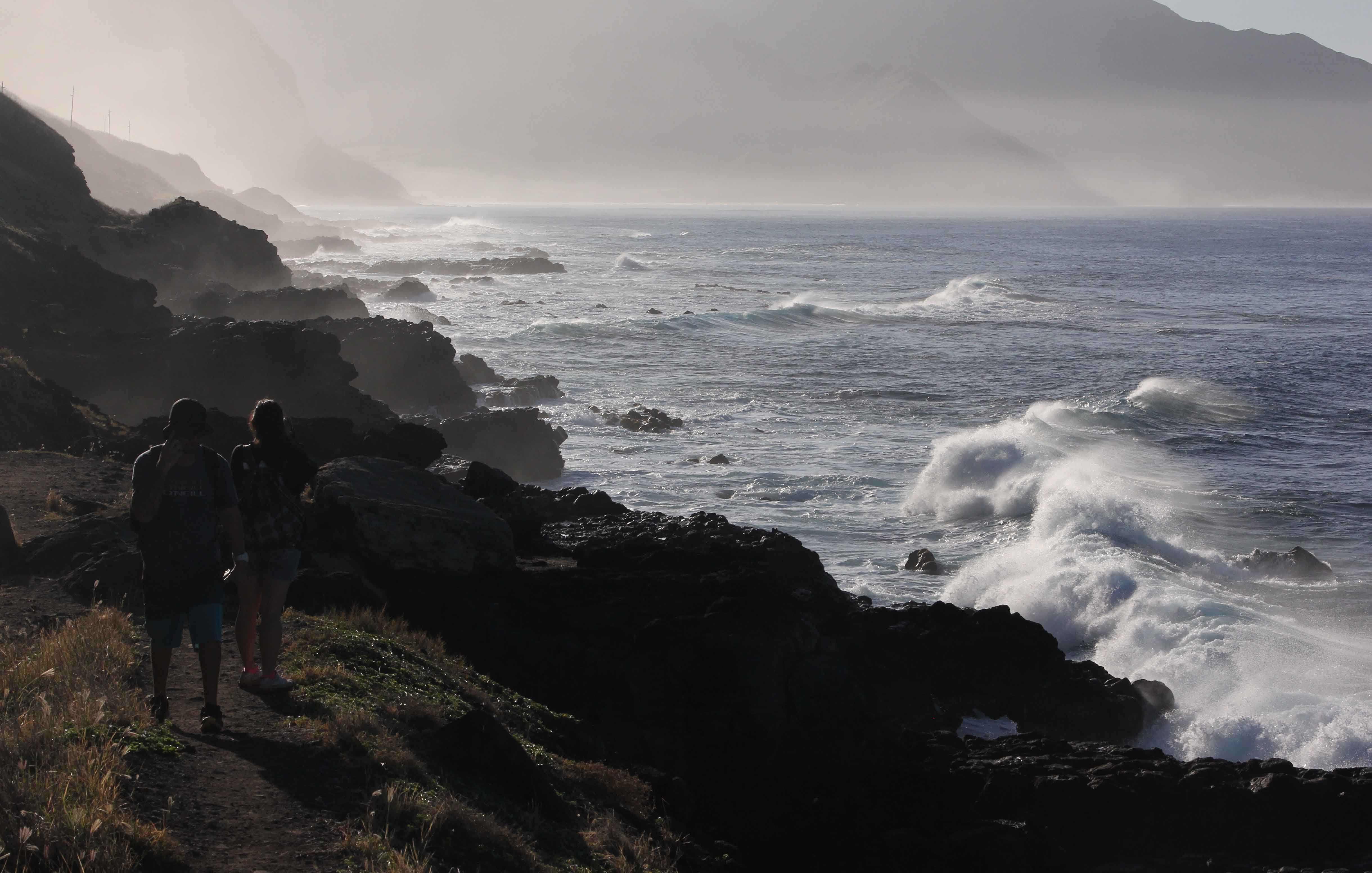
Fishermen must be skilled to manage the waves and currents.
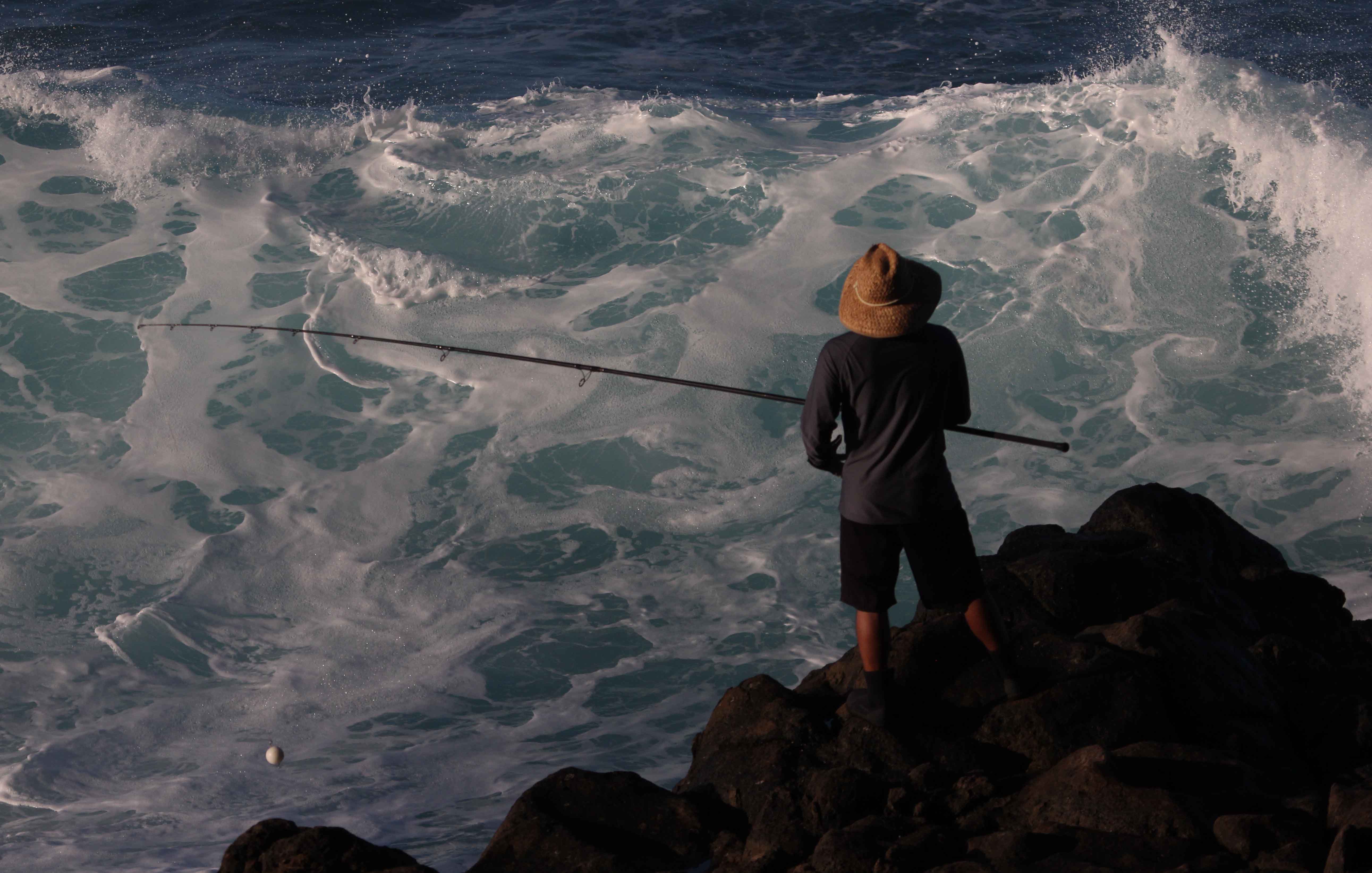

The fisherman can be seen in silhouette on the rocks toward the top left.

View towards the point, around halfway.
View towards the point, around two thirds of the way.
View towards southeast.

The dirt road at the end of the paved road from on the north. A permit is required to enter the road and get the code for the gate.
The dirt road is some distance from the shore, but there are paths closer to the shore that make the walk more interesting.

The coastline on the north.

There are a few hidden beaches along the north side.

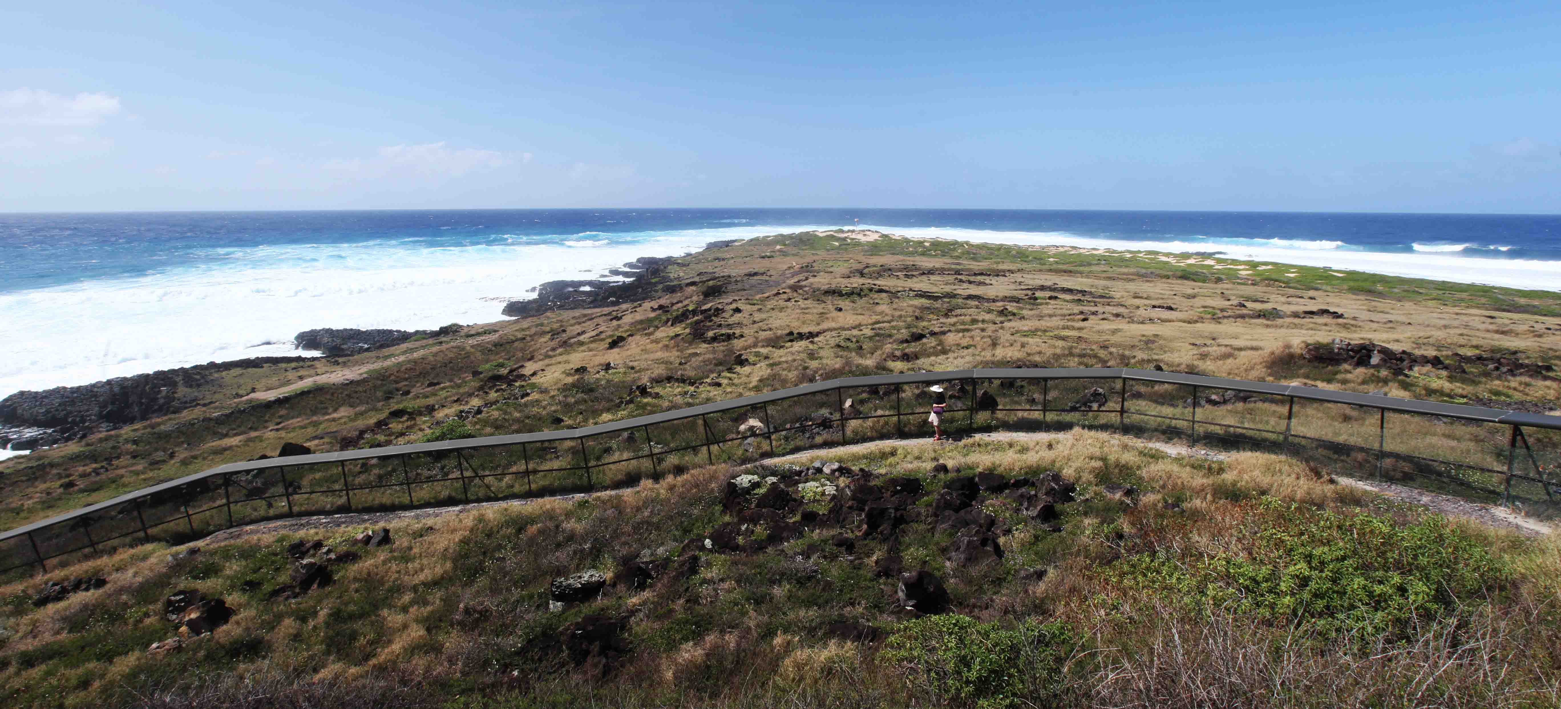
The natural reserve area at the end of the point is cordoned off by the first predator proof fence built in the US, in 2011. In Hawaii the predators are rats and mongooses.
The fence can be seen in the background, the sluice doors to the right. It may not look very beautiful but has helped the bird and seal population recover.

Close to the predator fence on the north side.
View of the point and the fence.

The fence goes right down to the water on both sides.


Looking east from Ka’ena point. The path to the left leads to the north. On the first trip we took the one to the right, towards Waianae.

Paths are well marked.

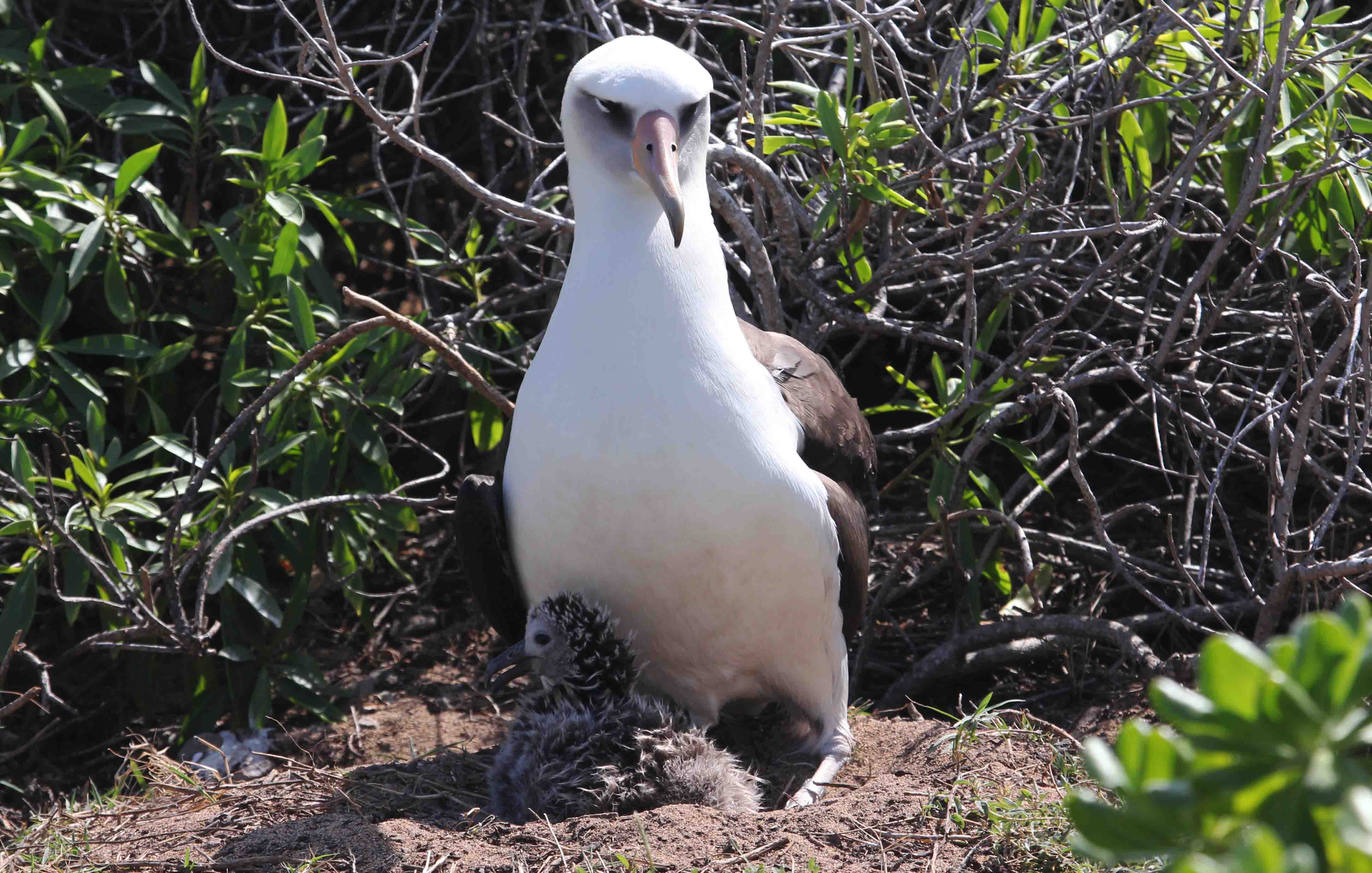
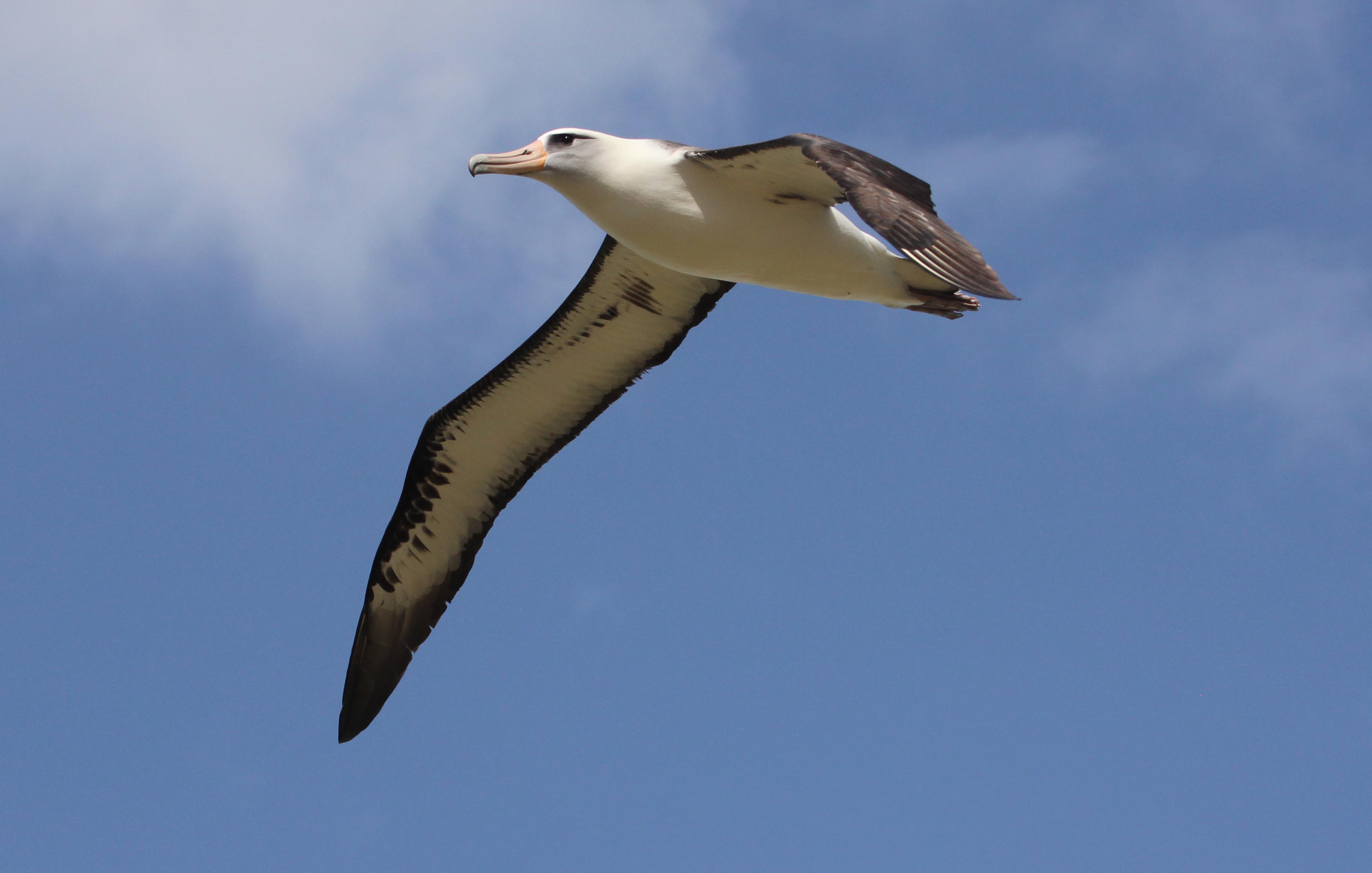
There are many Laysan albatross nesting in January, and they do not seem to be afraid of hikers.

Laysan albatross (Diomedia immutabilis).
Picture taken on Tuesday February 10.
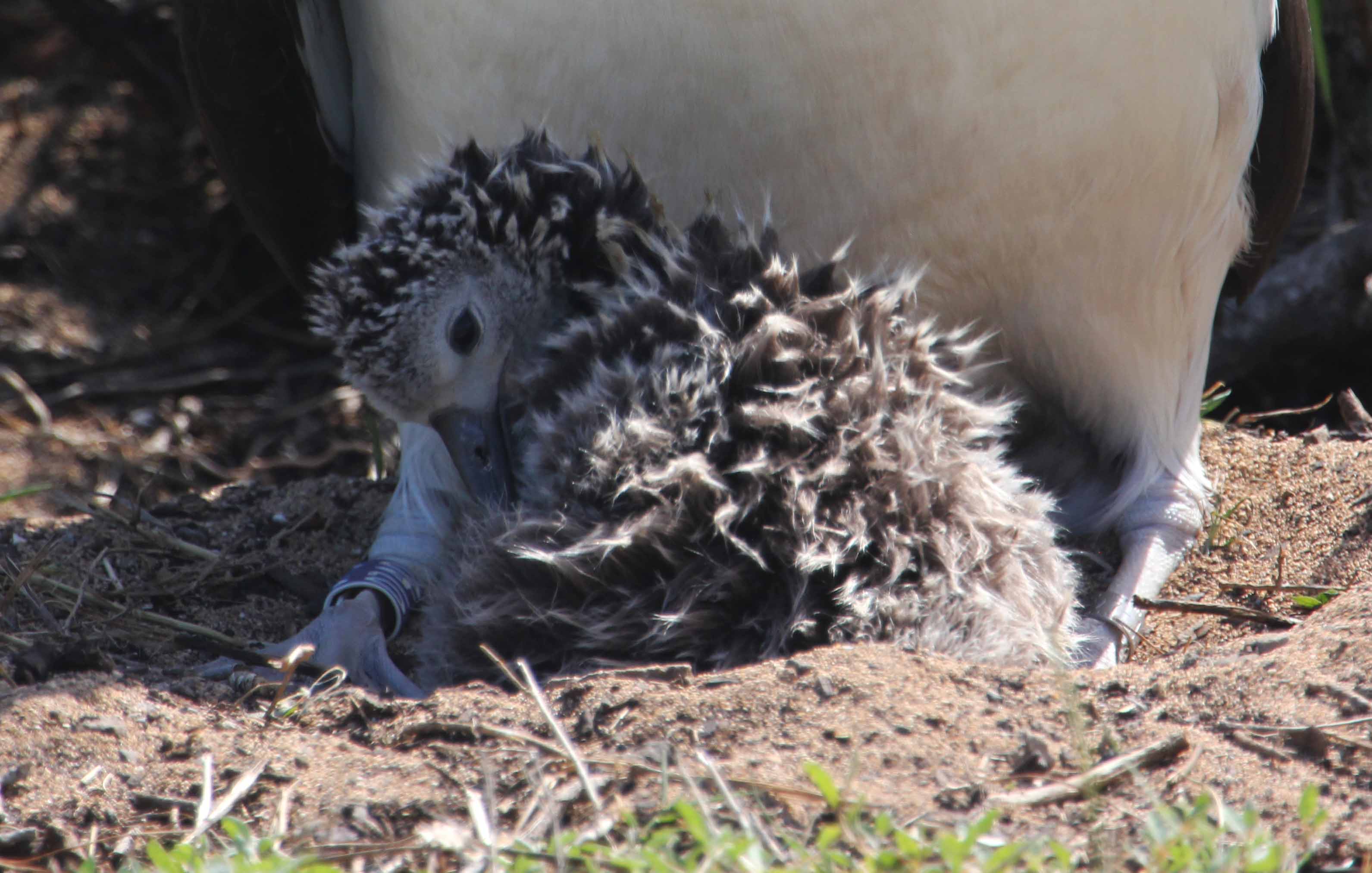
The adult is ring-marked on both legs.


There is a beacon and a structure well suited for whale watching at the point.
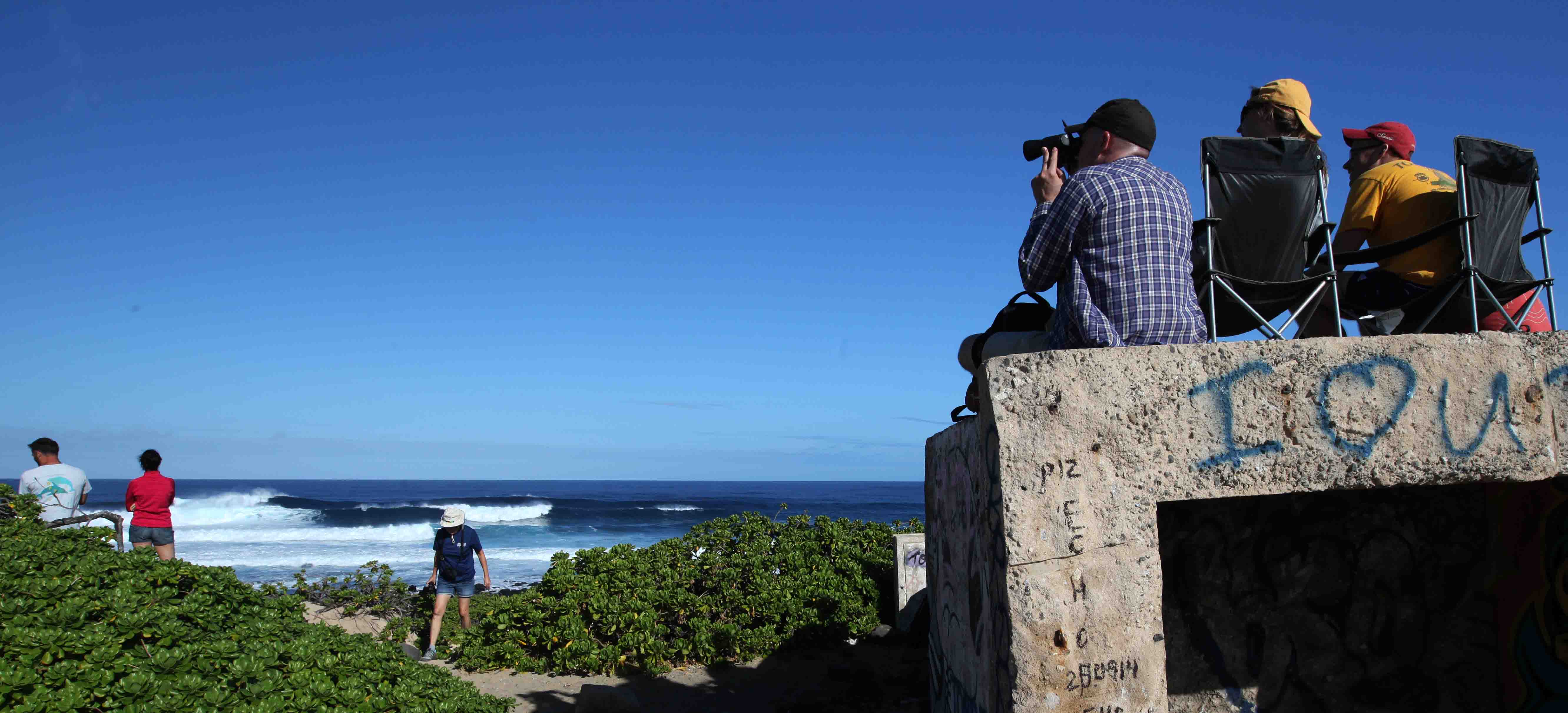
The whale watchers count and record whales, which are frequently seen around the point.
We saw at least six whale spouts, and one person in the group got a photo of a whale tail!

This and the following two pictures were taken on 7 January 2017.

We saw at least twelve breaches on 7 January 2017.

Scientists say that the reason for the breaches is a way to communicate with whales far away.
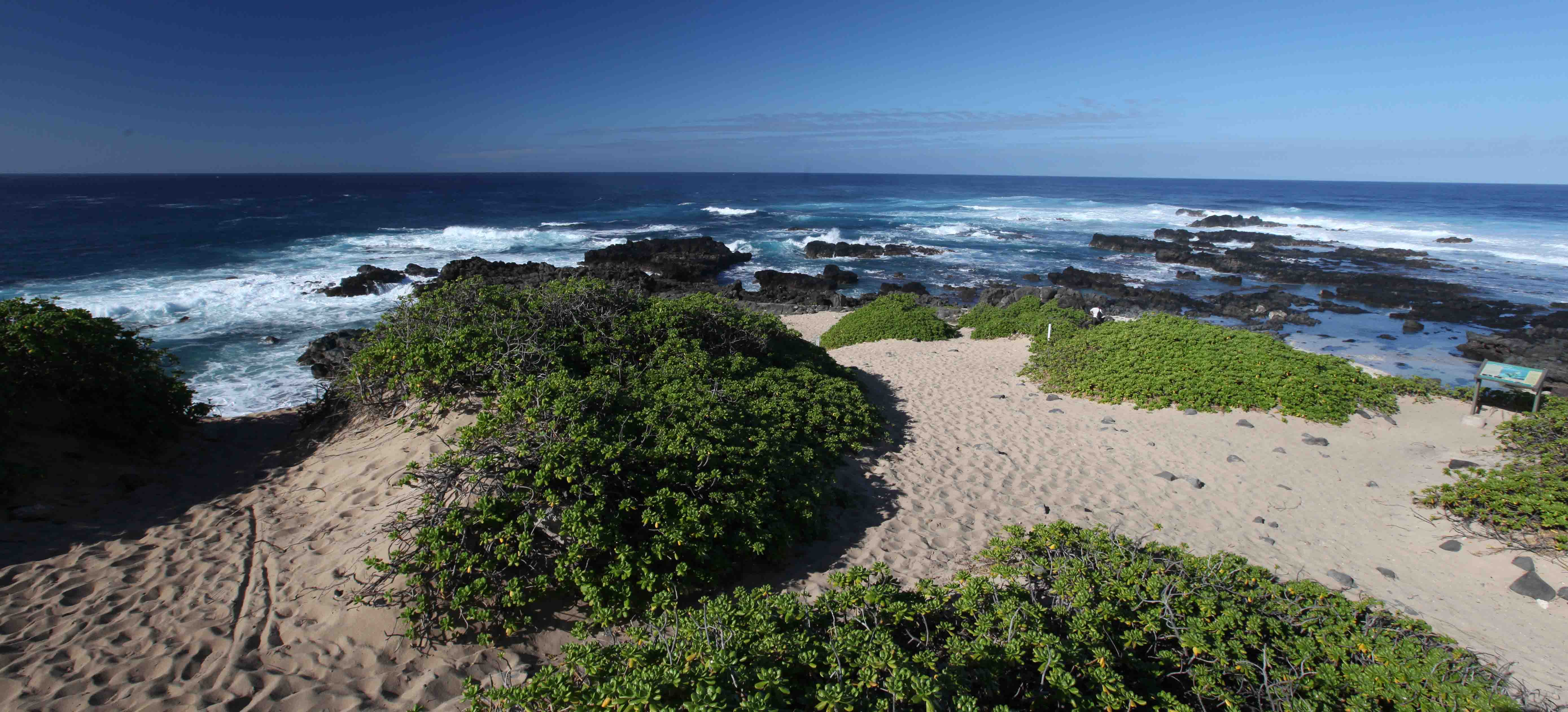
The very tip of Ka’ena Point. This is where you may see Hawaiian monk seals.

Two Hawaiian monk seals slumbering. Some patient photographers got more active shots of the seals.

The flipper of a sleeping seal. January 2017.

These are native Hawaiian plants, ílima paka (Sida fallax), abundant at the point.

Another native plant is Naupaka Kahakai (Scaevola sericea) that blooms with small white flowers.

Ohai (Sesbania tomenfosa) that blooms with red flowers was reduced to just a dozen plants before the natural reserve was established.
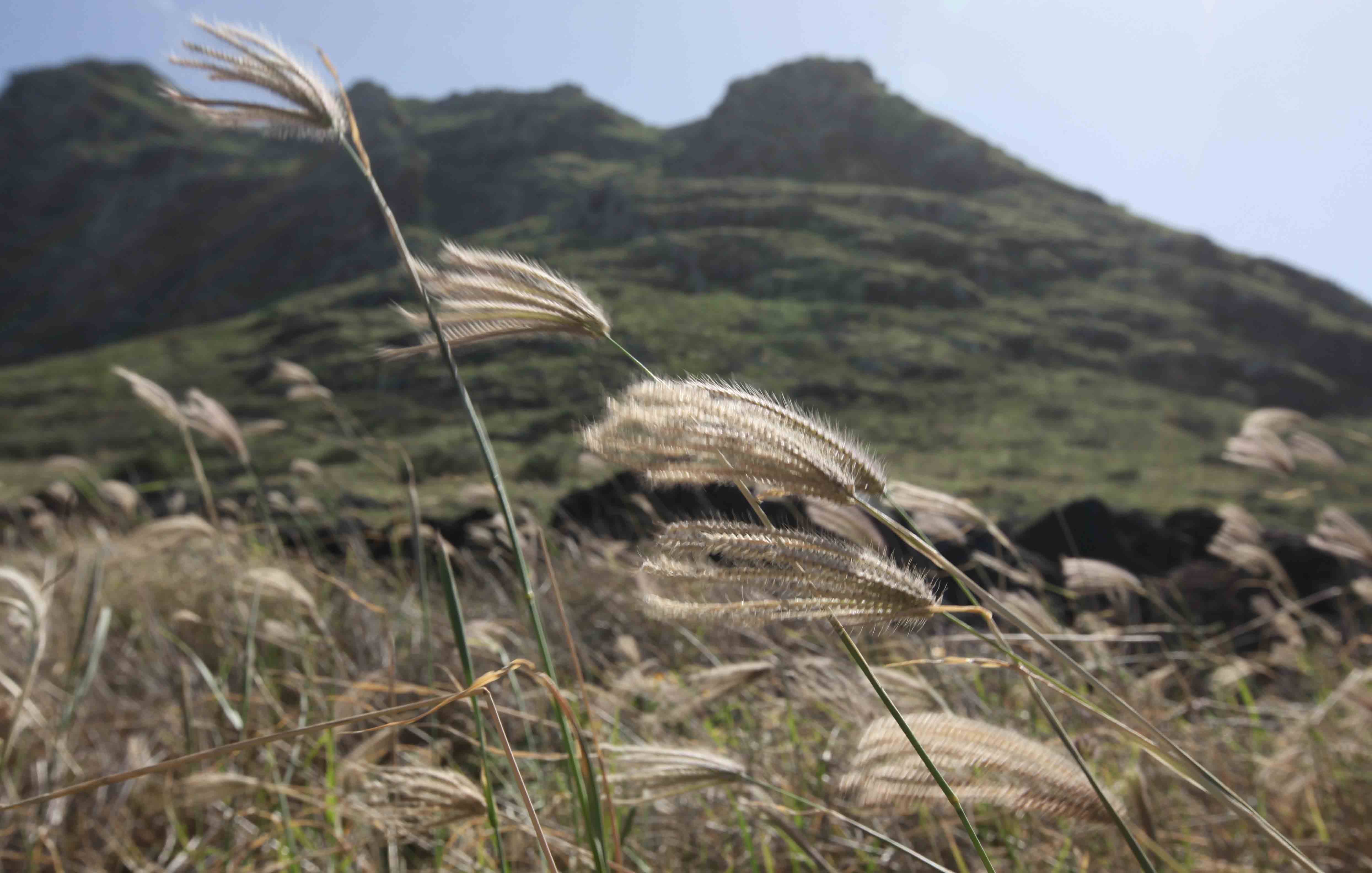
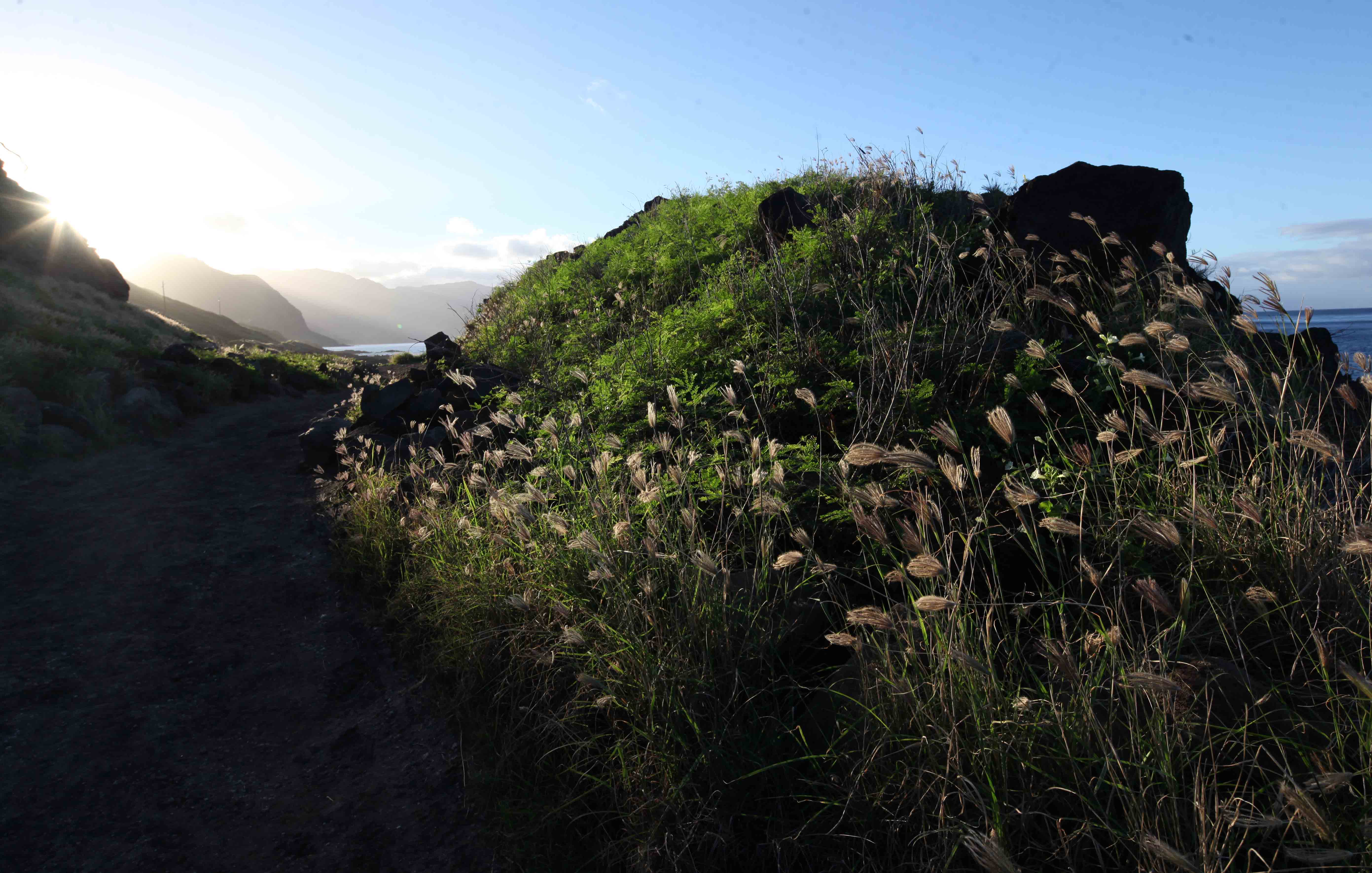
This grass is probably Chloris inflata considered a weed in the tropics and subtropics.
It is very common at Ka’ena point.
To visit Ka’ena Point is a very special experience: birds, seals, spouting whales, and the incredible landscape.
The walk is not strenuous, much is on even ground, but it gets very hot. You must bring enough drinking water.

